Search Results for: “Hampshire”
UK Maps Collection


A collection of over 100 maps covering England, Scotland, Ireland and Wales. These high resolution maps can show you how place-names and counties differed from the present day. Contains various printable maps showing towns, counties, and countries in the UK from as early as 1660. More Info
Product Code: GRD36
Portsmouth c.1895 Map CD Special Offer
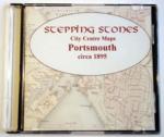
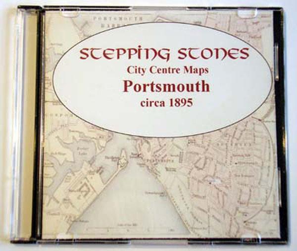
Stepping Stones publication Portsmouth c.1895 Map CD... More Info
Southampton c.1895 Map CD Special Offer
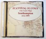
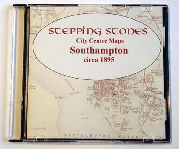
Stepping Stones publication Southampton c.1895 Map CD... More Info
Can't find what you're looking for? Try using our filter system to narrow down your search.
Available through our sister site GenFair
RENEWAL of UK Membership of Hampshire Genealogical Society
**For persons living within the UK only. To cover costs, the fee includes a 50p administration charge.**
NEW APPLICATION for EU Membership of Hampshire Genealogical Society
**For persons living outside the UK and resident within the rest of the EU only. To cover costs, the fee includes a 50p administration charge.**
RENEWAL of EU Membership of Hampshire Genealogical Society
**For persons living outside the UK and resident within the rest of the EU only. To cover costs, the fee includes a 50p administration charge.**
Hampshire Monumental InscriptionsALVERSTOKE AREA HMI 48
Over 5,300 entries for: Alverstoke St Mary, Haslar Hospital, Gosport St Mark, Gosport St Mary War Memorial, Gosport Anns Hill Cemetery