Search Results for: “Lancashire”
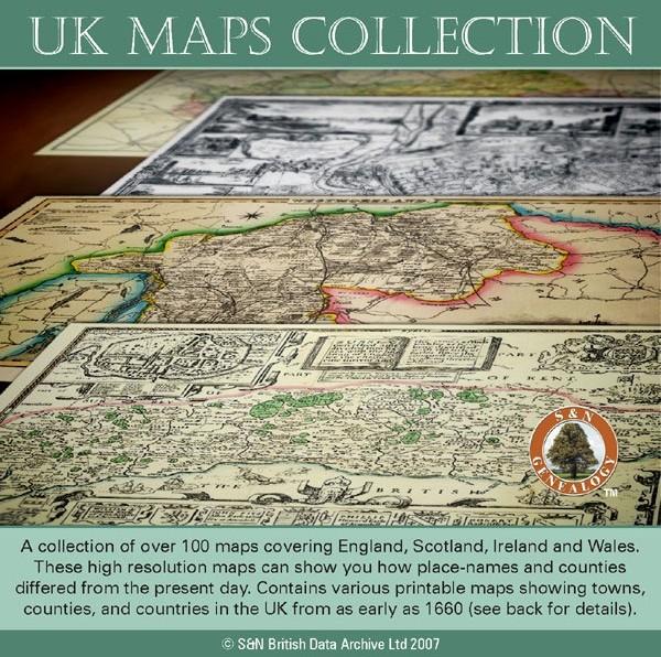
UK Maps Collection
A collection of over 100 maps covering England, Scotland, Ireland and Wales. These high resolution maps can show you how place-names and counties differed from the present day. Contains various printable maps showing towns, counties, and countries in the UK from as early as 1660. More Info
Product Code: GRD36
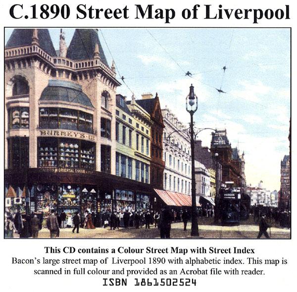
Liverpool Street Map c.1890
Liverpool colour street map with street index (Originally published by Bacon, c.1890).... More Info
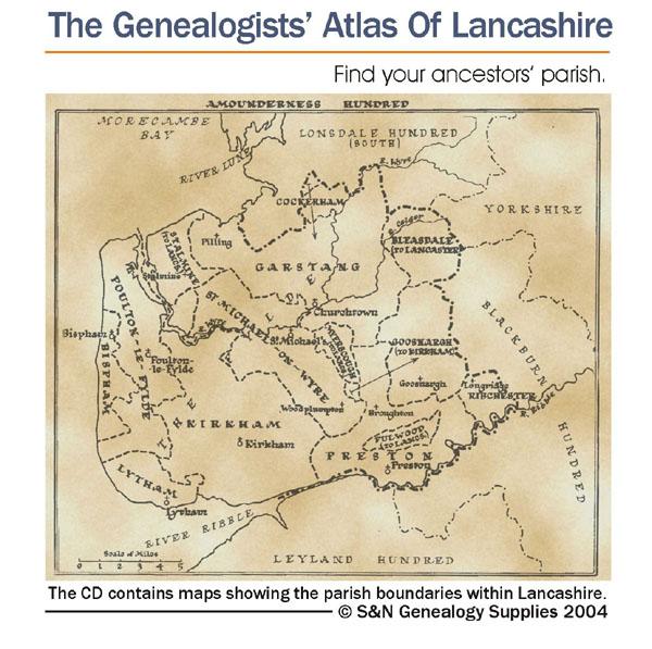
The Genealogists' Atlas Of Lancashire Circa. 1930
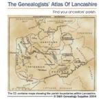
This CD is fully bookmarked and allows you to search through the parishes to help find your ancestors' parish. It contains maps of parishes and townships and lists of non-parochial registers.... More Info
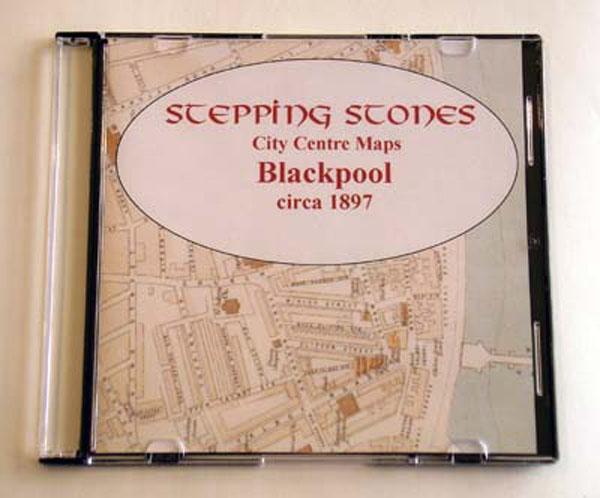
Lancashire, Blackpool c.1897 Map CD Special Offer
Stepping Stones publication Blackpool c.1897 Map CD... More Info
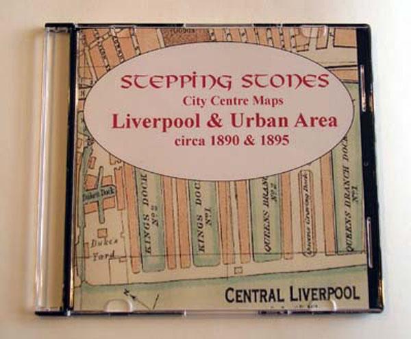
Liverpool Map CD (2 maps, c.1890-95) Special Offer
Stepping Stones publication Liverpool Map CD (2 maps, c.1890-95)... More Info
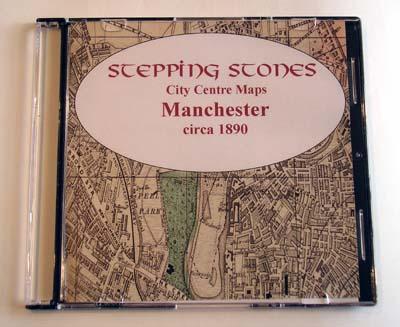
Manchester c.1890 Map CD Special Offer
Stepping Stones publication Manchester c.1890 Map CD... More Info
Can't find what you're looking for? Try using our filter system to narrow down your search.
Available through our sister site GenFair
Ordnance Survey Maps of Lancashire - Liverpool & Southwest Lancashire
Comprising the Ordnance Survey 25-inch plans for Lancashire, surveyed between 1888 and 1893, produced using the Lancashire Record Office's set of almost 1400 maps (and a few borrowed from local libraries) which will be issued on thre disks. The third of these, covering the southwest of the County from south of Blackpool across to Hurst Green near Clitheroe and down to Hollins Green near Warrington...More Info
Lancashire - A Genealogical Bibliography
This volume is the authoritative and comprehensive guide to everything published on Lancashire that is likely to be of use to genealogists. Topics covered include the history of Lancashire, bibliographies and archival guides, journals and newspapers, pedigrees, biographical sources, occupational sources, family histories, parish registers, monumental inscriptions, probate records, official lists o...More Info
Ordnance Survey Maps of Lancashire - Northern section
Comprising the Ordnance Survey 25-inch plans for Lancashire, surveyed between 1888 and 1893, produced using the Lancashire Record Office's set of almost 1400 maps (and a few borrowed from local libraries) which will be issued on thre disks. The first of these, covering the northern section of the old county from Furness down to the Ribble Valley, is now available. 1 disk
Lancashire Graveyards & Burial Grounds: Locations and whereabouts of transcribed monumental inscriptions (5th edition, 2000). By W J Taylor
Lists all the graveyards and cemeteries in the historic county of Lancashire. The location of graveyards and cemeteries are indicated by reference to the Ordnance Survey map and the whereabouts of the MI transcriptions is also given. An indispensable guide for anyone trying to locate graveyards in Lancashire.
Lancashire Parishes for the Genealogist
All you need to know (genealogically) about Lancashire and the LPRS Temporarily out of stock
