Search Results for: “Lincolnshire”
UK Maps Collection


A collection of over 100 maps covering England, Scotland, Ireland and Wales. These high resolution maps can show you how place-names and counties differed from the present day. Contains various printable maps showing towns, counties, and countries in the UK from as early as 1660. More Info
Product Code: GRD36
Can't find what you're looking for? Try using our filter system to narrow down your search.
Available through our sister site GenFair
Lincolnshire Marriage Index 1700-1837 Volume 1
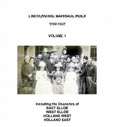
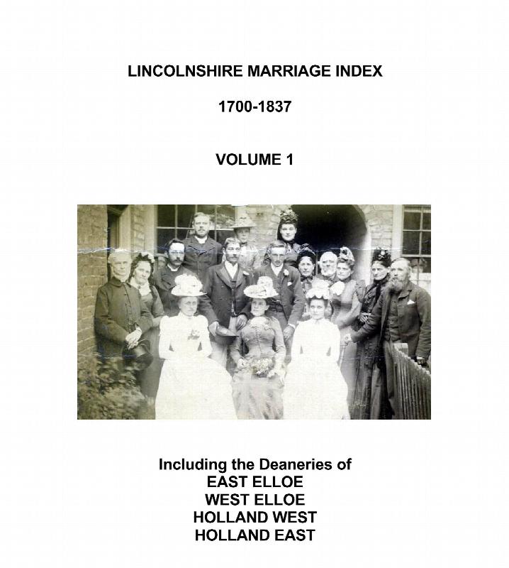
Covers marriages in the Church of England Deaneries of East Elloe, West Elloe, Holland East and Holland West, which are situated in the south-east of the county. Included are the the large parishes of Boston, Spalding & Holbeach. This part of Lincolnshire borders on the counties of Cambridgeshire & Norfolk, and many people from those counties and places further afield are mentioned. Gives full d...More Info
Lincolnshire Union Workhouse Birth, Baptism, Death and Burial Registers
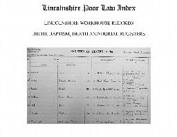
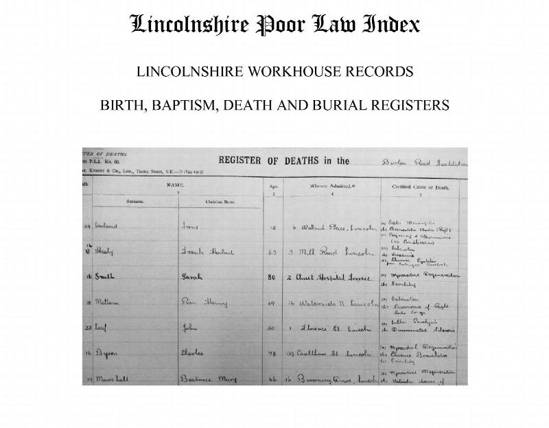
Transcriptions of the surviving registers for Lincolnshire Workhouses (Birth & Baptisms up to 1911 only) Included are the following. Births: Boston Union 1866-1879; Bourne Union 1866-1911; Gainsborough Union 1866-1911; Louth Union 1837-1866 & 1910-1911. Baptisms: Gainsborough Union 1888-1911; Lincoln Union 1827-1862 & 1900-1911. Deaths: Boston Union 1866-1941; Bourne Union 1866-1936; Gainsborough ...More Info
Surname Index to the 1851 Census of Lincolnshire
Surname Index showing Surname, Registration District, Place of Abode, Piece number, Folio Number. Includes Lincolnshire places in Peterborough, Thorne, Goole and Newark Registration Districts.
Surname Index to the 1861 Census of Lincolnshire
Surname Index showing Surname, Registration District, Place of Abode, Piece number, Folio Number. Includes Lincolnshire places in Peterborough, Thorne, Goole and Newark Registration Districts.
Surname Index to the 1871 Census of Lincolnshire
Surname Index showing Surname, Registration District, Place of Abode, Piece number, Folio Number. Includes Lincolnshire places in Peterborough, Thorne, Goole and Newark Registration Districts.