Search Results for: “Lincolnshire”
UK Maps Collection


A collection of over 100 maps covering England, Scotland, Ireland and Wales. These high resolution maps can show you how place-names and counties differed from the present day. Contains various printable maps showing towns, counties, and countries in the UK from as early as 1660. More Info
Product Code: GRD36
Can't find what you're looking for? Try using our filter system to narrow down your search.
Available through our sister site GenFair
Lincolnshire Parish Register Burials 1813-1900 Volume 1
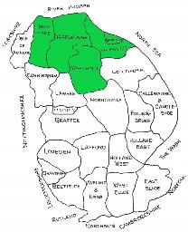
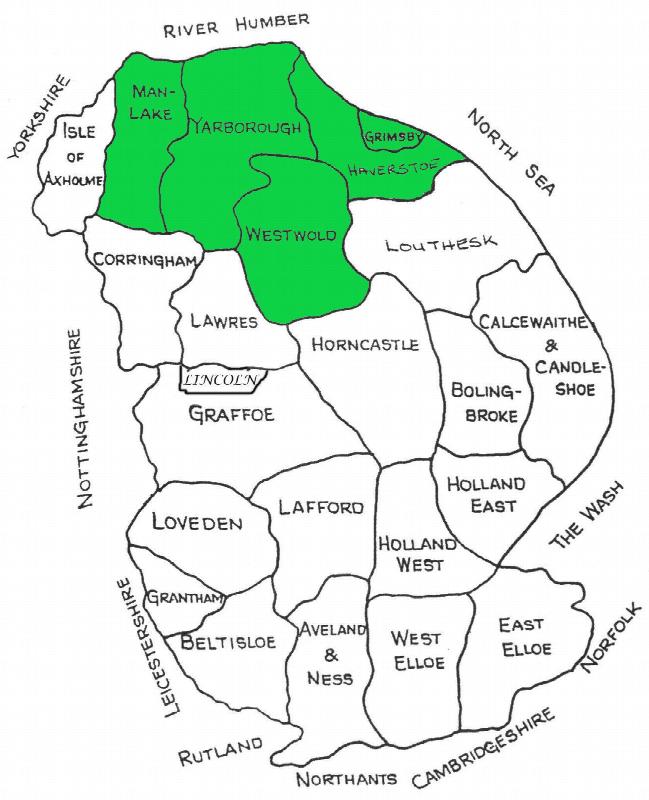
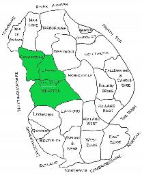
Deaneries included are Grimsby & Cleethorpes, Haverstoe, Manlake, Westwold, and Yarborough. In PDF format
Lincolnshire Parish Register Burials 1813-1900 Volume 2
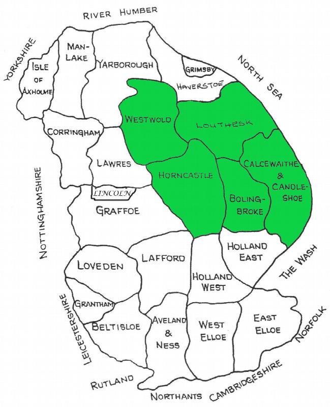
Deaneries included are Bolingbroke, Calcewaithe & Candleshoe, Horncastle and Louthesk. In PDF format
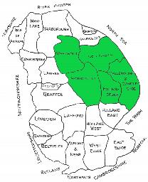
Lincolnshire Parish Register Burials 1813-1900 Volume 3

Deaneries included are Corringham, Graffoe, Lawres and Lincoln (Christianity) The date range 1813-1900, is approximate. In PDF format
Lincolnshire Wills (Canterbury Court 1653-1660)
Wills proved at the Prerogative Court of Canterbury. Extracted from the British Record Society - vols. 7 & 8. A4 size, 55 pages, a LFHS publication