Search Results for: “Middlesex”
UK Maps Collection


A collection of over 100 maps covering England, Scotland, Ireland and Wales. These high resolution maps can show you how place-names and counties differed from the present day. Contains various printable maps showing towns, counties, and countries in the UK from as early as 1660. More Info
Product Code: GRD36
Can't find what you're looking for? Try using our filter system to narrow down your search.
Available through our sister site GenFair
RA 37. Middlesex Directories - A Finding List
A guide to the location of those directories that are known to have survived. 2nd edition (1998). 28 pages.
RS 13. Return of Owners of Land 1873 - Middlesex
Reprinted from the 1873 Parliamentary Paper, with an introduction by Cliff Webb (1991). 44 pages.
CD 27 Index to a Collection of Middlesex Baptisms (not in the IGI).Jan 2012
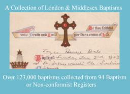
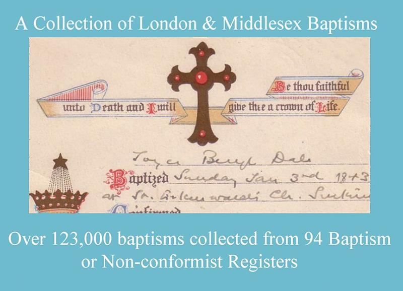
Over 123,000 baptisms collected from 94 Baptism or Non-conformist registers. The following places are included, but for some there are only a small number of records: Acton 1539–1689/90 (2167) Acton All Saints South Acton 1872-76 (649) Ashford 1699-1710 & 1760-1876 (1449) Bethnal Green Virginia Congregational Chapel 1825-37 (24) Chelsea Christ Church 1839-1876 (79) ...More Info
CD 40 A 2nd COLLECTION OF LONDON & MIDDLESEX BAPTISMS. Mainly not in the IGI. Feb 2014
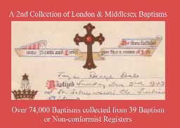
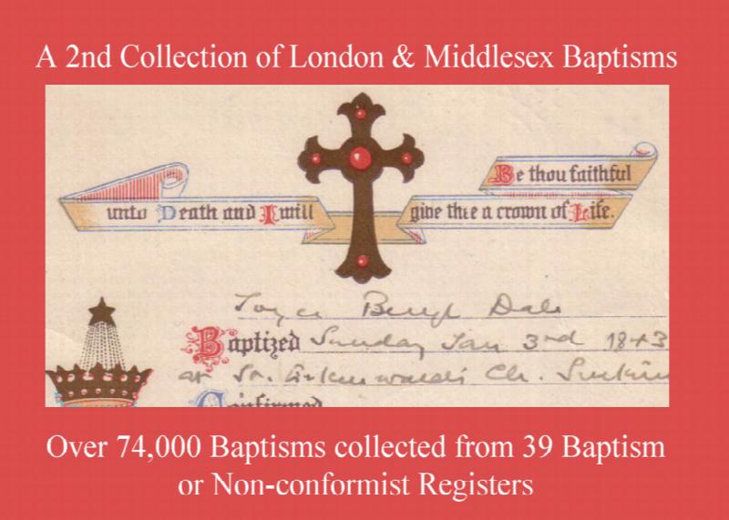
Transciptions and Indexes. February 2014. Parish Registers of various dates There are many entries up to 1876, including some from non-conformist registers and covering the following places: Acton 1695-1812 (4040); Chiswick: Turnham Green 1845-76 (1420); Ealing St Mary 1765-88 (3296); Edgware 1841-76 (646); Edmonton St James 1851-76 (652); Edmonton Weld Chapel 1875-76...More Info
MIDDLESEX 1787
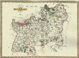
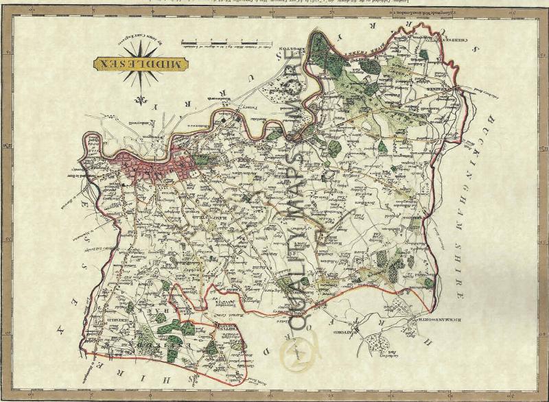
A QUALITY A3 SIZE COLOUR REPRODUCTION FROM JOHN CARY'S 1787 ATLAS WITH DETAILS OF THE COUNTY OVERLEAF. LASER PRINTER ON GOOD QUALITY CARTRIDGE PAPER. SENT FOLDED IN A PLASTIC DISPLAY SLEEVE IN A STIFF CARD ENVELOPE AT THE LARGE LETTER RATE. SCALES VARY