Search Results for: “Norfolk”
UK Maps Collection


A collection of over 100 maps covering England, Scotland, Ireland and Wales. These high resolution maps can show you how place-names and counties differed from the present day. Contains various printable maps showing towns, counties, and countries in the UK from as early as 1660. More Info
Product Code: GRD36
Can't find what you're looking for? Try using our filter system to narrow down your search.
Available through our sister site GenFair
Rothwell: Holy Trinity Church, Baptisms 1730 - 1734
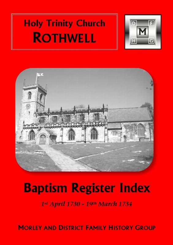
**GenFair release: June 2019** **New transcription.** The following dates are covered: 1 April 1730 to 19 March 1734 Page Layout: **Name: Parents; Occupation; Abode; Date of baptism.** Addenda: **Name: Parents; Details; Date of baptism.** Sorted by Surname and then by Forename. **Surnames in index:** **AD...More Info
East Ardsley: St Michael and All Angels Church, Baptisms 1724/5-1749
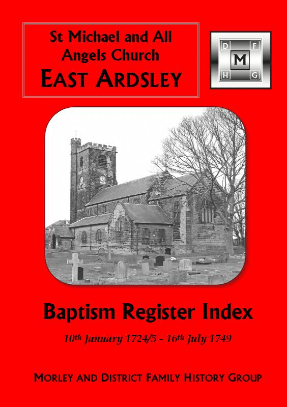
**GenFair release: December 2019** **New transcription.** The following dates are covered: 10th January 1724/5 to 16th July 1749 Page Layout: **Name: Parents, Occupation, and Abode; Date of baptism.** Sorted by Surname and then by Forename. **Surnames in index:** **ALLEN;** AMBLER; APPLEYARD; ARMITAGE; ARUNDEL; ASQUITH. **BACCAS;** BEDF...More Info
East Ardsley: St Michael and All Angels Church, Bishop's Transcripts (Baptisms) 1724/5-1749
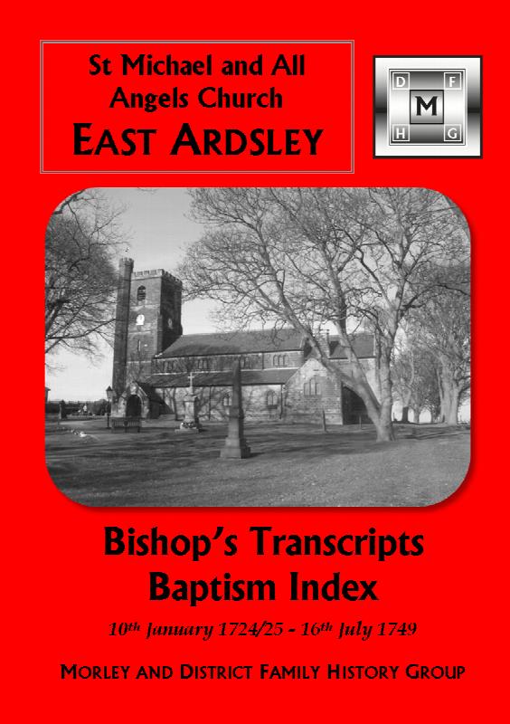
**GenFair release: December 2019 New transcription.** The following dates are covered: 10 January 1724/5 to 16 July 1749 **Please Note:** Some of the information in the East Ardsley baptism entries 1724/5-1749 has faded and not survived. In order to provide a nearly complete transcription of the East Ardsley baptism register, the Bishop's Transcripts for the period 170...More Info
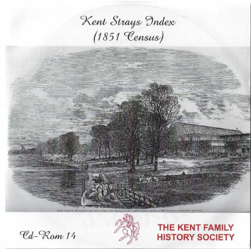
Kent FHS CD 14 Index of Kent Strays from the 1851 census
The CD contains about 115,000 entries. Fully indexed with links to 'as enumerated' records. Coverage Main areas: Middlesex and City of London Surrey Sussex Hampshire Berkshire Hertfordshire Buckinghamshire Oxfordshire Northamptonshire Huntingdonshire Bedfordshire Cambridgeshire Essex Suffolk Norfolk Hereford Westmorland ...More Info