Search Results for: “Nottinghamshire”
UK Maps Collection


A collection of over 100 maps covering England, Scotland, Ireland and Wales. These high resolution maps can show you how place-names and counties differed from the present day. Contains various printable maps showing towns, counties, and countries in the UK from as early as 1660. More Info
Product Code: GRD36
Nottingham c.1895 Map CD Special Offer
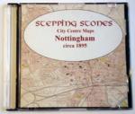
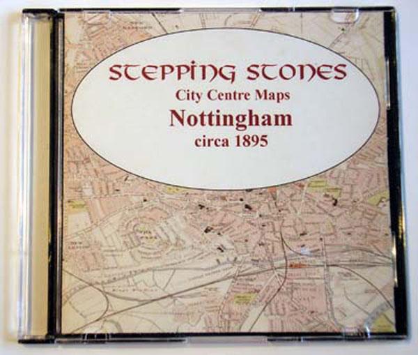
Stepping Stones publication Nottingham c.1895 Map CD... More Info
Can't find what you're looking for? Try using our filter system to narrow down your search.
Available through our sister site GenFair
1871-2 SHEFFIELD, DIRECTORY & TOPOGRAPHY by Francis White & Co.
A General and Commercial Directory of the Towns, Parishes, Villages & Hamlets within a circuit of 20 miles, which include parts of Derbyshire and Nottinghamshire. Including: Bakewell, Barnsley , Baslow, Bawtry, Blyth , Bolsover, Buxton, Castleton, Chapel-en-le-Frith, Chatsworth, Chesterfield , Clumber, Doncaster , Dronfield, Eckington, Edensor, Eyam, Haddon, Hathersage, Hope, Maltby, Penistone, Ro...More Info
Catholic Ancestor Volume 07 Number 1 / February 1998
- Obituary: E Mary Hartley, MBE PhD - Our Society's Register Transcripts At The Catholic Central Library - St Mary's, Little Crosby, Lancashire" - Moston Cemetery, Manchester - Nottinghamshire Marriage Indexes - The Spanish Elizabethans - Part 2 - Catholics In The Land Registry - More About The Families Of Speke, Mayne(y) And Carew - Charnock Richard To Cornamucklagh - A Bridge Across The Sea - Ca...More Info
Kent FHS CD 14 Index of Kent Strays from the 1851 census
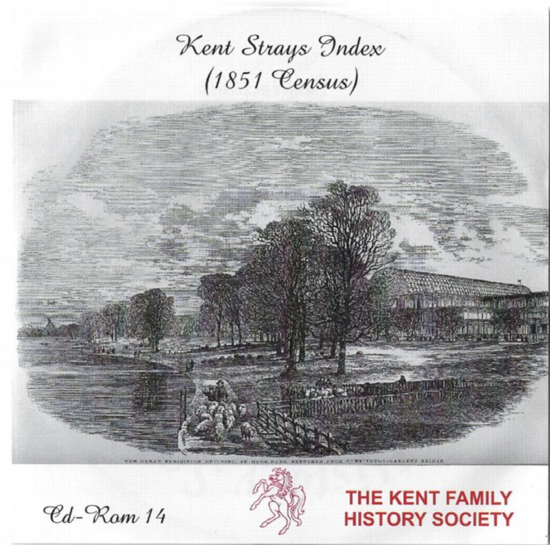
The CD contains about 115,000 entries. Fully indexed with links to 'as enumerated' records. Coverage Main areas: Middlesex and City of London Surrey Sussex Hampshire Berkshire Hertfordshire Buckinghamshire Oxfordshire Northamptonshire Huntingdonshire Bedfordshire Cambridgeshire Essex Suffolk Norfolk Hereford Westmorland ...More Info
PS90 Compleat Parish Officer 1734
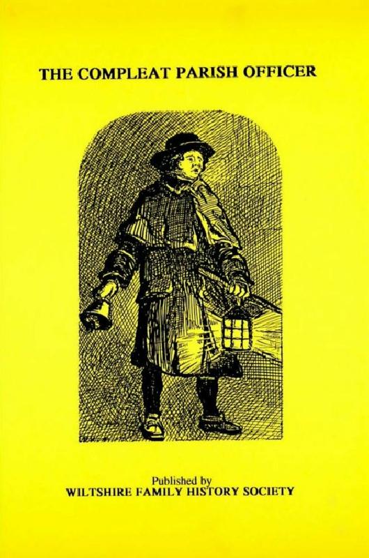
Reprint of a guide for parish officers to deal with complex poor laws and social problems. A5 104p