Search Results for: “Pembrokeshire”
UK Maps Collection


A collection of over 100 maps covering England, Scotland, Ireland and Wales. These high resolution maps can show you how place-names and counties differed from the present day. Contains various printable maps showing towns, counties, and countries in the UK from as early as 1660. More Info
Product Code: GRD36
Can't find what you're looking for? Try using our filter system to narrow down your search.
Available through our sister site GenFair
Cardigan & District (1909)
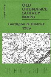
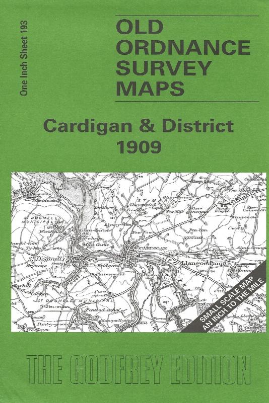
Sheet 193 - This Inch to the Mile map covers the coastal area of Cardiganshire and Pembrokeshire around Cardigan and St Dogmells. Coverage stretches from Pen-y-Bal and Moylgrove eastward to Cilgerran and Llangoedmor. There is, alas, rather a lot of sea on this map, but added interest is given on the reverse where we include an extract from Pembrokeshire Sheet 3.04, covering Llechryd in 1904, compl...More Info
Cardigan & St Dogmaels (1904)
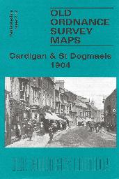
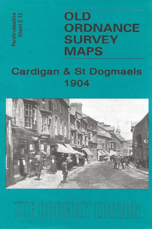
Sheet 2.12 - The town of Cardigan is in the top right corner and features here include the town centre, including High Street, Priory Street, part of Pendre, Cardigan Bridge, castle remains, Custom House, malthouses, Bridgend, Station Road (but actual station is just off the map). The map then extends westward to St Dogmells (or Dogmaels, or Llandudoch) in Pembrokeshire; features here include St T...More Info
PS90 Compleat Parish Officer 1734
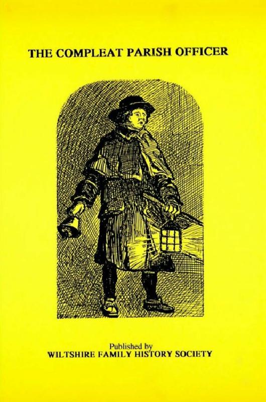
Reprint of a guide for parish officers to deal with complex poor laws and social problems. A5 104p
PS91 Handy Book of Parish Law
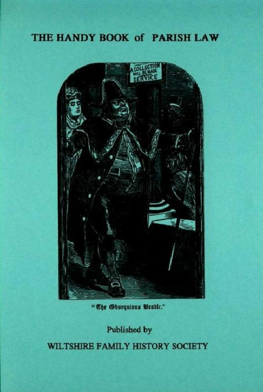
Reprint of a 3rd Ed. (1872) of a book dealing with many aspects of law affecting the parish and its officers. A5 112p