Search Results for: “Pembrokeshire”
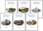
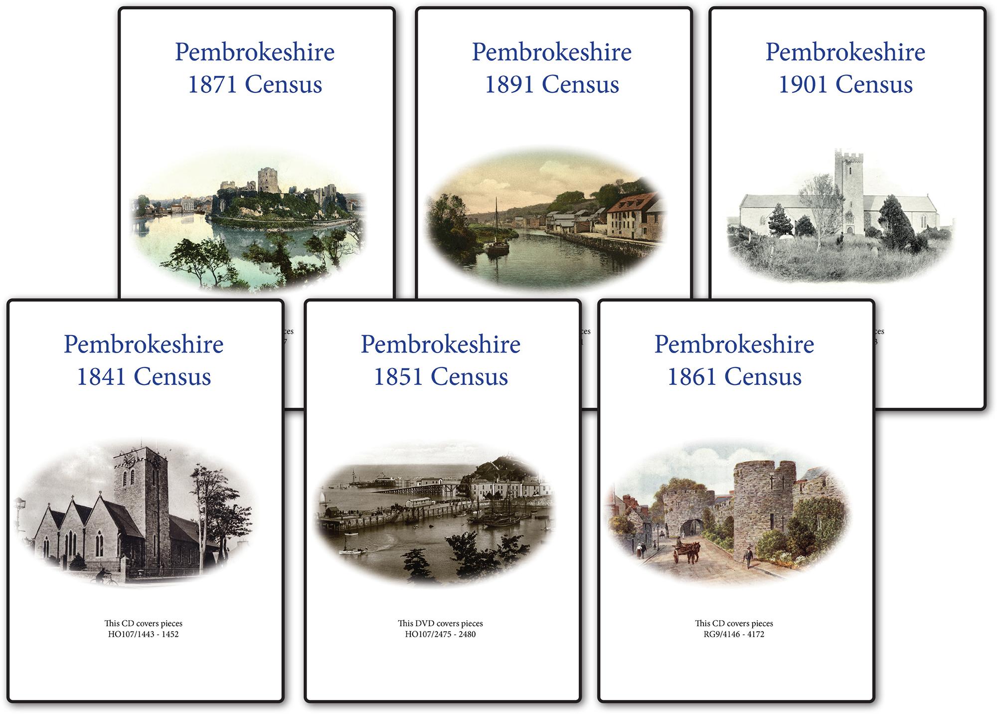
Pembrokeshire 1891 Census Special Offer
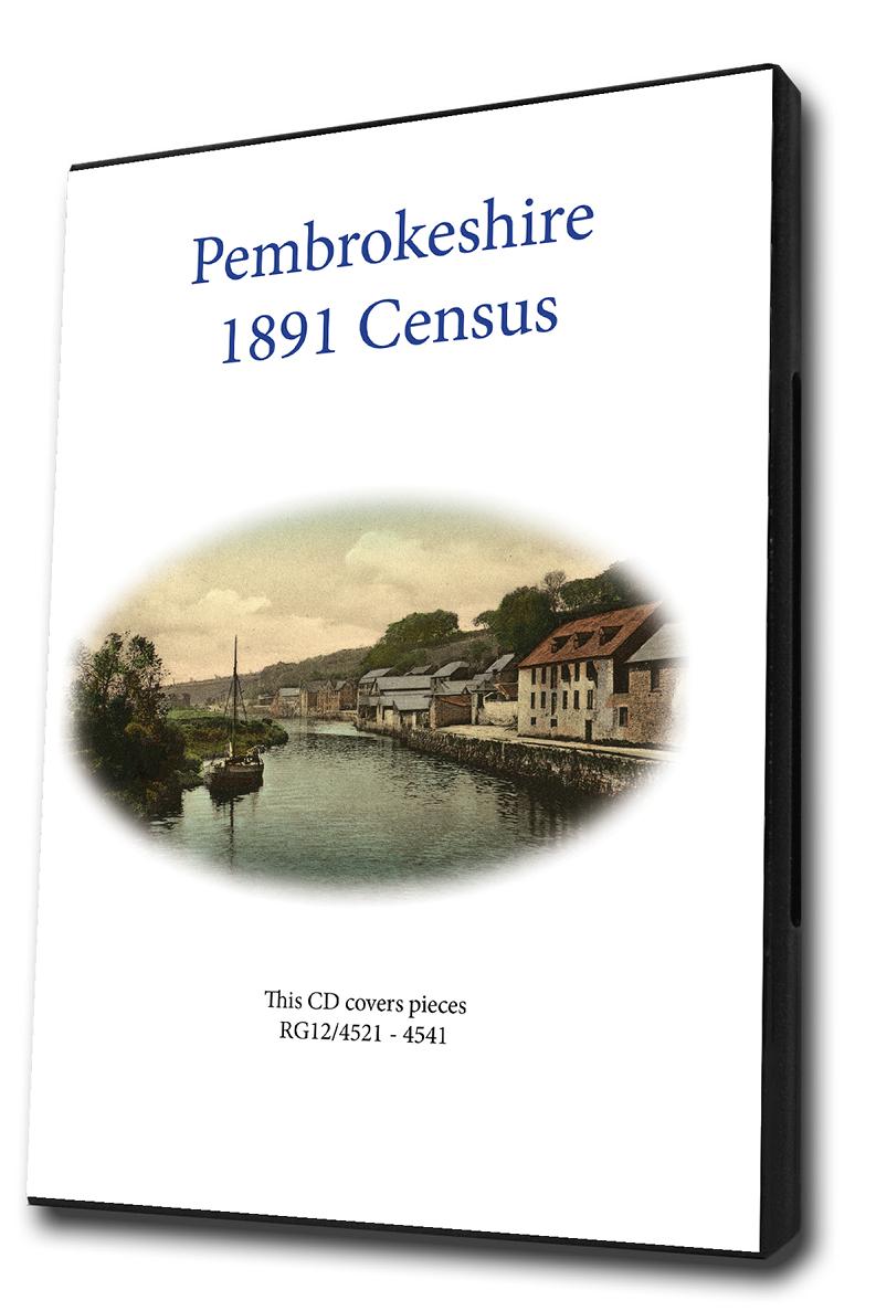
This is the original Census information digitised from high quality microfilm and scanned several times to provide the best possible images. Supplied on DVD as PDF documents with Street and Area Indexes.... More Info
Pembrokeshire 1901 Census Special Offer
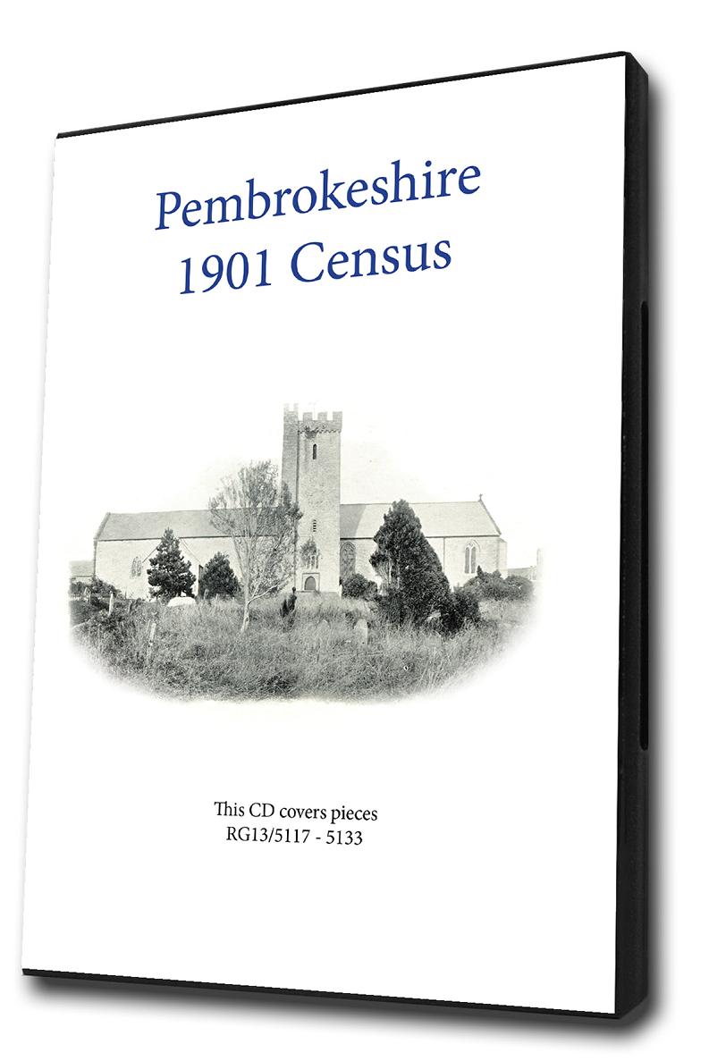
This is the original Census information digitised from high quality microfilm and scanned several times to provide the best possible images. Supplied on DVD as PDF documents with Street and Area Indexes.... More Info
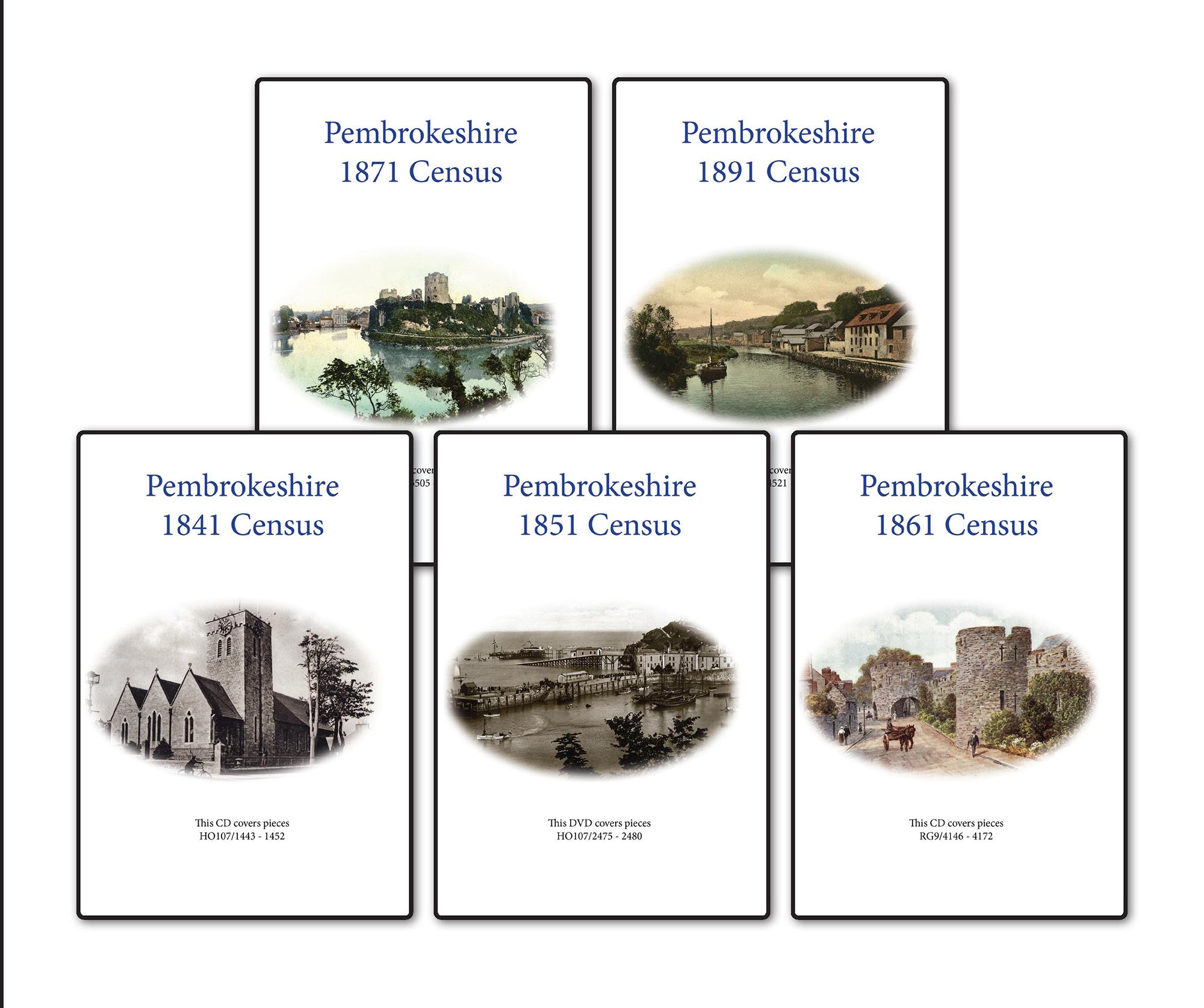
Pembrokeshire 1871 Census Special Offer
This is the original Census information digitised from high quality microfilm and scanned several times to provide the best possible images. Supplied on CD as PDF documents with Street and Area Indexes.... More Info
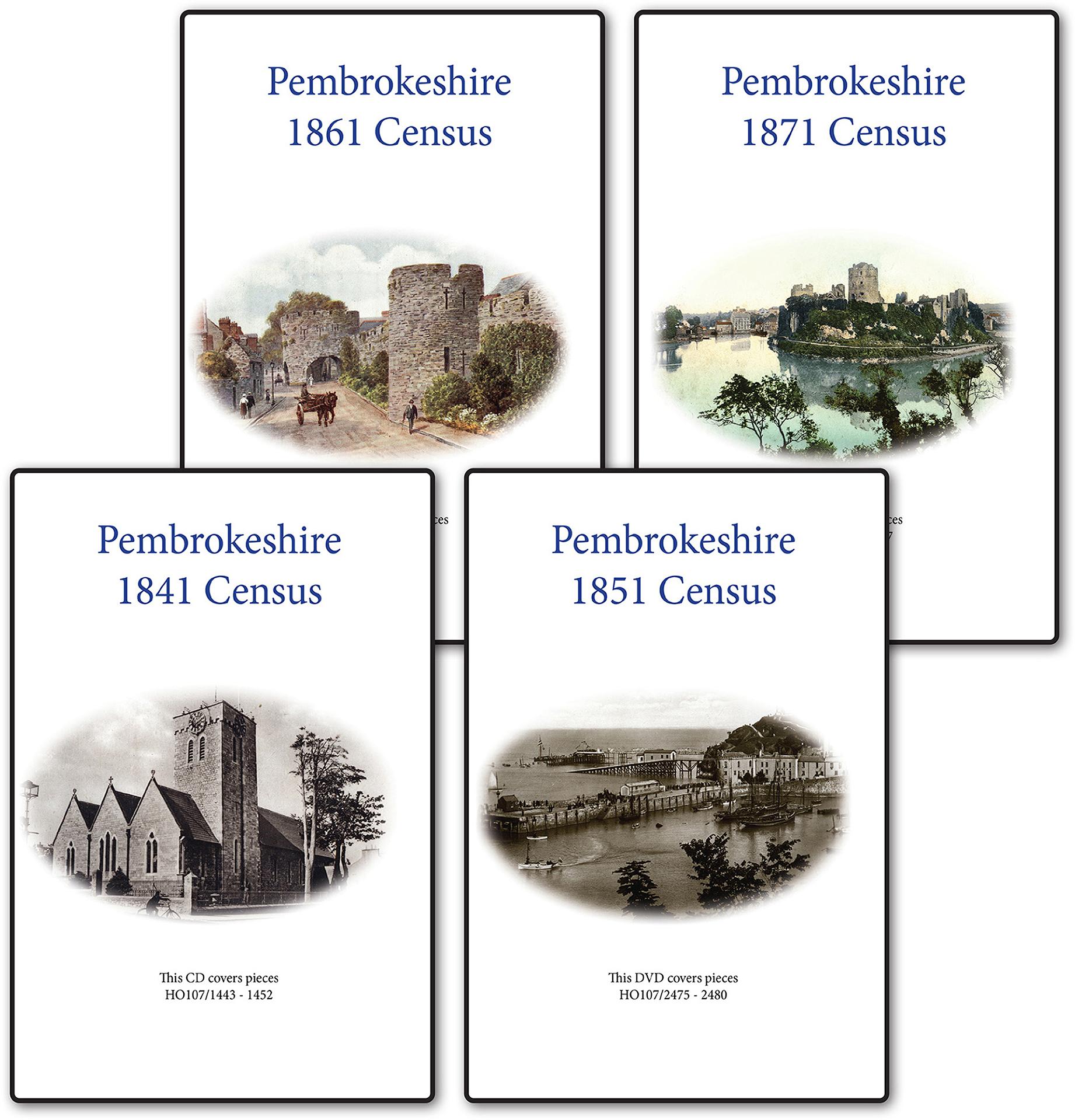
Pembrokeshire 1861 Census Special Offer
This is the original Census information digitised from high quality microfilm and scanned several times to provide the best possible images. Supplied on CD as PDF documents with Street and Area Indexes.... More Info
Pembrokeshire 1851 Census Special Offer
This is the original Census information digitised from high quality microfilm and scanned several times to provide the best possible images. Supplied on DVD as PDF documents with Street and Area Indexes.... More Info
Pembrokeshire 1841 Census Special Offer
This is the original Census information digitised from high quality microfilm and scanned several times to provide the best possible images. Supplied on DVD as PDF documents with Street and Area Indexes.... More Info
Pembrokeshire Census Bundle - 1841, 1851, 1861, 1871 and 1891 Special Offer
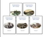
This Census bundle contains the sets for the years 1841,1851,1861,1871 and 1891. Each set consists of a pack of PDF documents which contain census page images indexed by street and area.... More Info
Pembrokeshire Census Bundle - 1841, 1851, 1861 and 1871 Special Offer
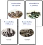
This Census bundle contains the sets for the years 1841,1851,1861 and 1871. Each set consists of a pack of PDF documents which contain census page images indexed by street and area.... More Info
Pembrokeshire Census Bundle - 1841, 1851, 1861, 1871, 1891 and 1901 Special Offer
This Census bundle contains the sets for the years 1841,1851,1861,1871,1891 and 1901. Each set consists of a pack of which contain census page images indexed by street and area.... More Info
Can't find what you're looking for? Try using our filter system to narrow down your search.
Available through our sister site GenFair
Cardigan & District (1909)
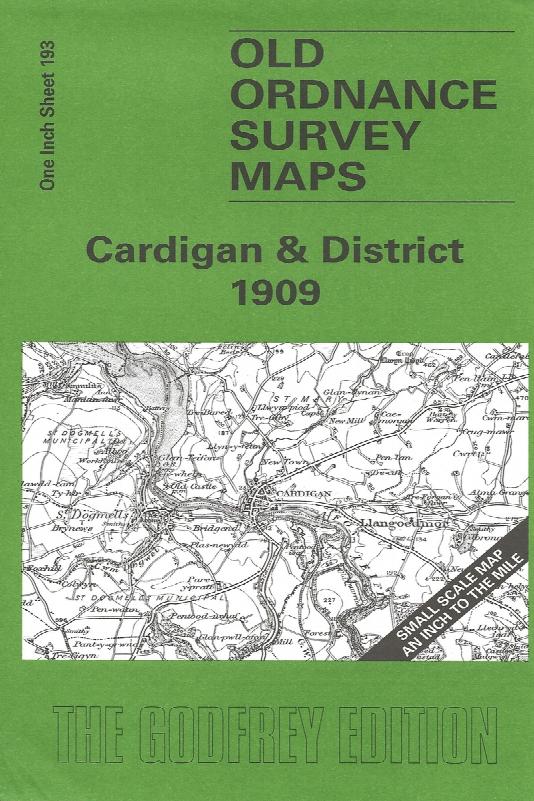
Sheet 193 - This Inch to the Mile map covers the coastal area of Cardiganshire and Pembrokeshire around Cardigan and St Dogmells. Coverage stretches from Pen-y-Bal and Moylgrove eastward to Cilgerran and Llangoedmor. There is, alas, rather a lot of sea on this map, but added interest is given on the reverse where we include an extract from Pembrokeshire Sheet 3.04, covering Llechryd in 1904, compl...More Info
Cardigan & St Dogmaels (1904)
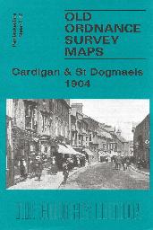
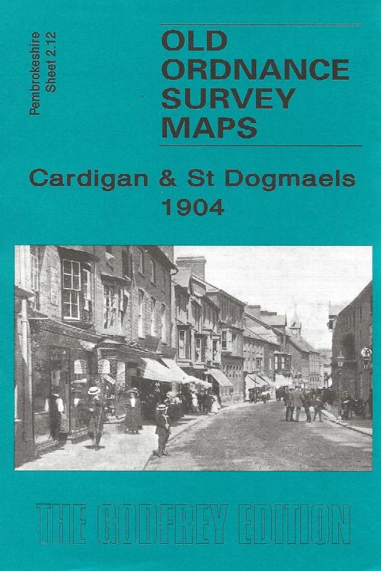
Sheet 2.12 - The town of Cardigan is in the top right corner and features here include the town centre, including High Street, Priory Street, part of Pendre, Cardigan Bridge, castle remains, Custom House, malthouses, Bridgend, Station Road (but actual station is just off the map). The map then extends westward to St Dogmells (or Dogmaels, or Llandudoch) in Pembrokeshire; features here include St T...More Info
PS90 Compleat Parish Officer 1734
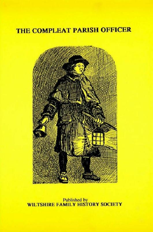
Reprint of a guide for parish officers to deal with complex poor laws and social problems. A5 104p
PS91 Handy Book of Parish Law
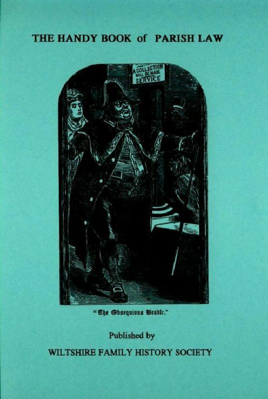
Reprint of a 3rd Ed. (1872) of a book dealing with many aspects of law affecting the parish and its officers. A5 112p