Search Results for: “Ross & Cromarty”
Scotland; Dumbartonshire, Argyle-shire, Buteshire, Renfrewshire, Ross-shire & Cromartyshire 1837 Trade Directory
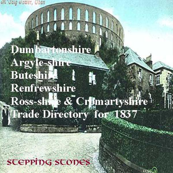
Stepping Stones CD publication. Contents of the 1837 Dumbartonshire, Argyleshire, Buteshire, Renfrewshire, Ross-shire and Cromartyshire Trade Directory Towns covered: Dumbartonshire Bonhill Alexandria Balloch Renton Cumbernauld Condorret Dumbarton Helensburgh Row Kilpatrick Duntocher Kirkintilloch Luss Arrochar Tarbert New Kilpatrick Milngavie Argyleshire Appin Balacheslish South Bonawe Campbeltown Clachan Tayenloane Killean Glenbarr Dunoon Easdale Vicinity Inverary Island of Isl More Info
Can't find what you're looking for? Try using our filter system to narrow down your search.
Available through our sister site GenFair
Vale of York (South) 1905-1913
Dated 1905-13. Sheet 71. 1in to mile This One Inch to the Mile map covers the area of the Yorkshire Plain south and east of York. Coverage stretches from the southern outskirts of York (ie including the racecourse but not the city centre) southward to Selby, and from Appleton Roebuck eastward to Nunburnholme station and Everingham station. Apart from Selby, towns on the map include Cawood and Pock...More Info
PS90 Compleat Parish Officer 1734
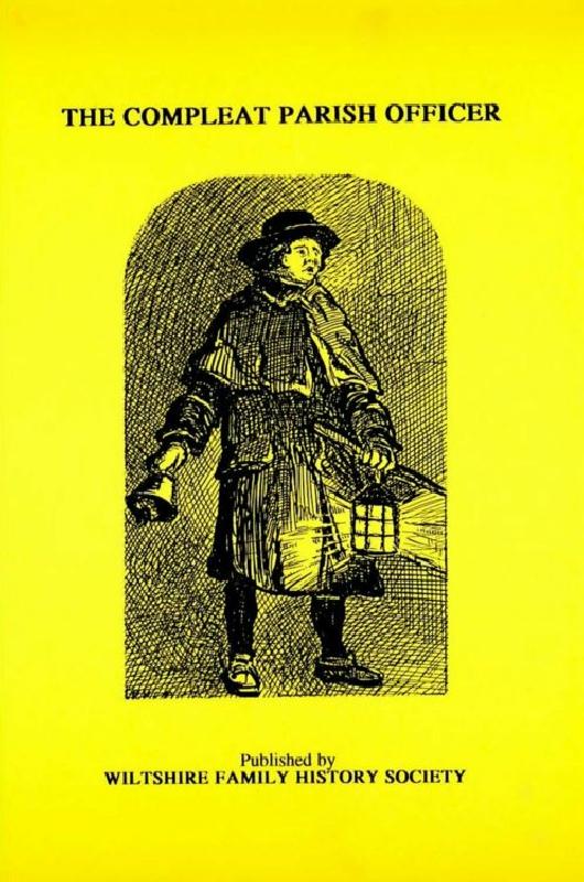
Reprint of a guide for parish officers to deal with complex poor laws and social problems. A5 104p
PS91 Handy Book of Parish Law
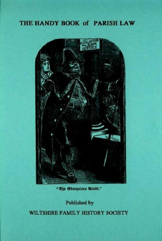
Reprint of a 3rd Ed. (1872) of a book dealing with many aspects of law affecting the parish and its officers. A5 112p