Search Results for: “Staffordshire”
UK Maps Collection


A collection of over 100 maps covering England, Scotland, Ireland and Wales. These high resolution maps can show you how place-names and counties differed from the present day. Contains various printable maps showing towns, counties, and countries in the UK from as early as 1660. More Info
Product Code: GRD36
Can't find what you're looking for? Try using our filter system to narrow down your search.
Available through our sister site GenFair
STAFFORDSHIRE 1787
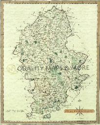
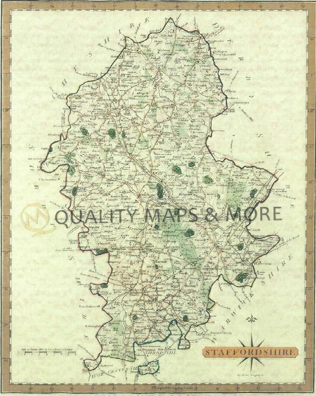
A QUALITY A3 SIZE COLOUR REPRODUCTION FROM JOHN CARY'S 1787 ATLAS WITH DETAILS OF THE COUNTY OVERLEAF. LASER PRINTER ON GOOD QUALITY CARTRIDGE PAPER. SENT FOLDED IN A PLASTIC DISPLAY SLEEVE IN A STIFF CARD ENVELOPE AT THE LARGE LETTER RATE. SCALES VARY
Staffordshire (The King's England)
Arthur Mee's classic pre-WW2 guide to the region's settlements including churches and castles and other historic places – 'Beauty and the Black Country' – with 180 places and 107 pictures.
Papist Lists in Lichfield Diocese 1767
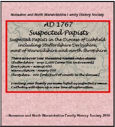
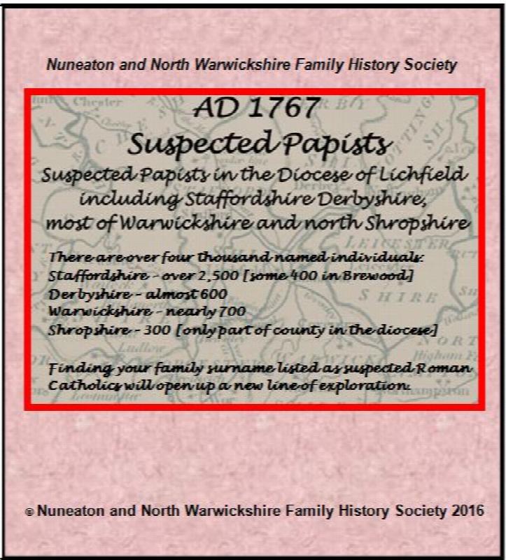
Suspected papists in Staffordshire, Derbyshire, Warwickshire & Shropshire indexed from the originals in the deposited records for Lichfield diocese, now held at Stafford Record Office.
Some Travellers in the 1891 Census - 4
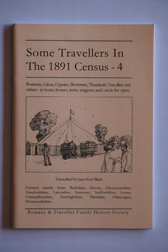
By Janet Keet-Black. Boatmen, Circus, Gypsies, Photographers, Showmen, Theatricals - extracted from Berkshire, Cornwall, Devon, Gloucestershire, Hampshire, Herefordshire, Lancashire, Oxfordshire, Somerset, Staffordshire, Surrey, Carmarthenshire, Denbighshire, Flintshire, Glamorganshire, Monmouthshire. Transcribed in "as enumerated" format with a surname index. 60 pages.