Search Results for: “Suffolk”
Can't find what you're looking for? Try using our filter system to narrow down your search.
Available through our sister site GenFair
Tithe Map - Marlesford
A set of 22 maps of Peasenhall from the 1840s tithe maps, as printed in the Suffolk Snapshots No.11 book. Files supplied in .tif format.
Catholic Missions and Registers - The Midlands & East Anglia
By Michael Gandy. Providing details of Roman Catholic churches and missions, on a county-by-county basis, with dates of foundation and the dates and location of their records. This volume covers the counties of Bedfordshire, Buckinghamshire, Cambridgeshire, Derbyshire, Huntingdonshire, Leicestershire, Lincolnshire, Norfolk, Northamptonshire, Nottinghamshire, Oxfordshire, Rutland, Shropshire, Staff...More Info
Essex Machine Breakers
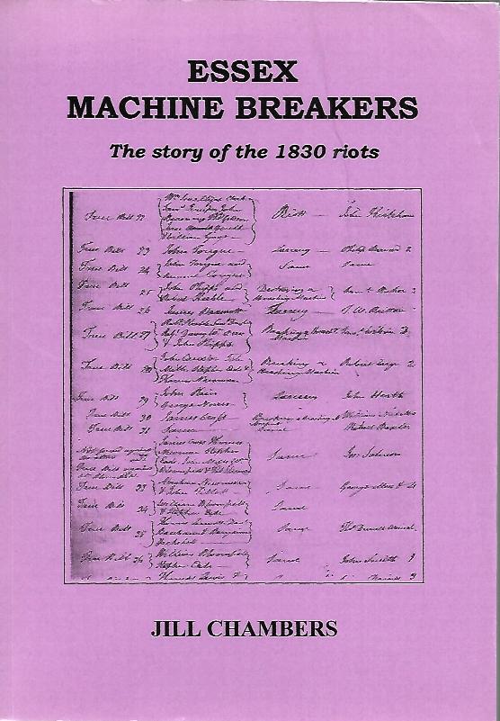
In Essex there were three main areas of disturbance. The first was centred in the north-west corner of the county, close to Suffolk, Cambridgeshire, and Hertfordshire, beginning on the 1st December 1830, and in the main taking the form of simple wages riots. The second centre of disturbance was the area around Colchester, in particular the costal strip between Ramsey and Clacton, and beginning wit...More Info
Scott: A Search for The Scotts and Circus
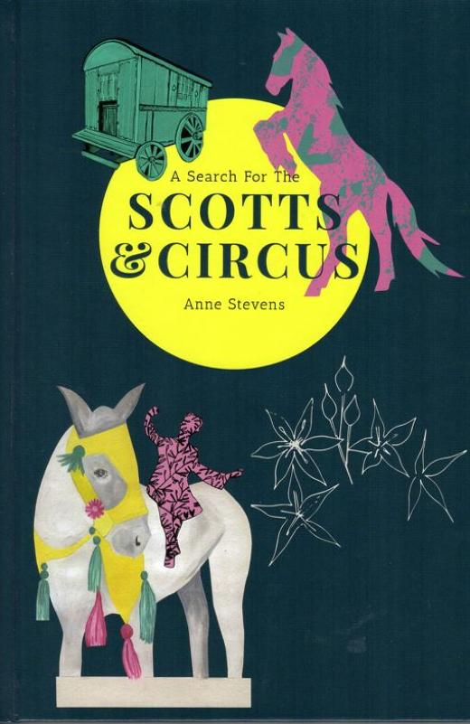
A Search For The Scotts & Circus By Anne Stevens As a child Anne Stevens was intrigued by the stories her grandmother told her: memories of horse-drawn vans, jugglers, clowns and equestrians overwintering in the village of Walberswick on the Suffolk coast of England. These were her Scott family. As an adult, Anne has researched these ancestors and the other circus and fairground families...More Info
Kent FHS CD 14 Index of Kent Strays from the 1851 census
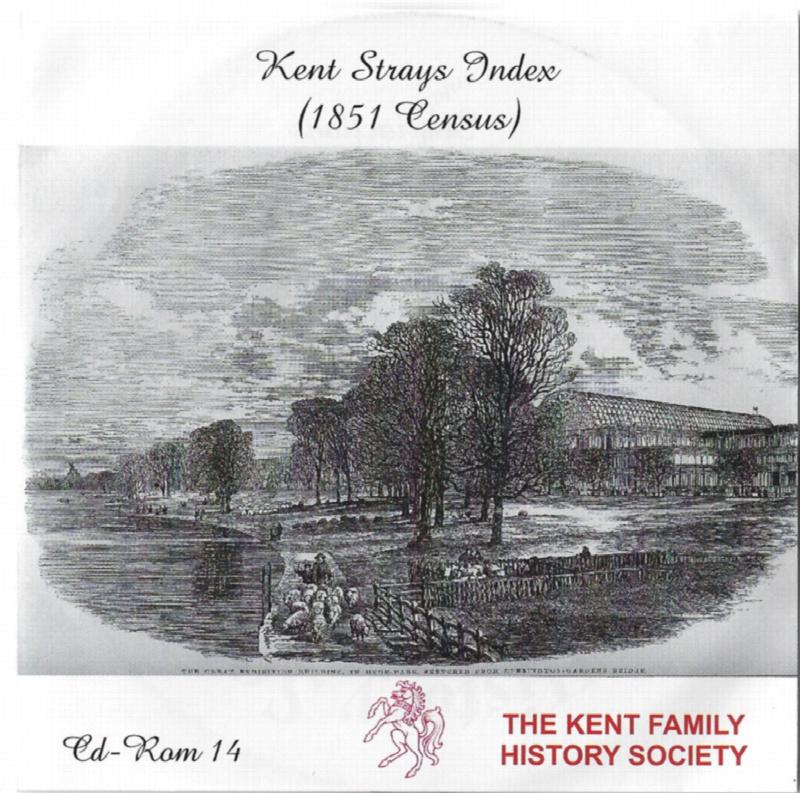
The CD contains about 115,000 entries. Fully indexed with links to 'as enumerated' records. Coverage Main areas: Middlesex and City of London Surrey Sussex Hampshire Berkshire Hertfordshire Buckinghamshire Oxfordshire Northamptonshire Huntingdonshire Bedfordshire Cambridgeshire Essex Suffolk Norfolk Hereford Westmorland ...More Info