Search Results for: “Suffolk”
Please note that not all our products are available as downloads. Click here to see both download and physical products.
Suffolk, The Homeland Handbooks - Bury St. Edmund's, with its Surroundings - 1907 Ordnance Map Special Offer Free UK P&P
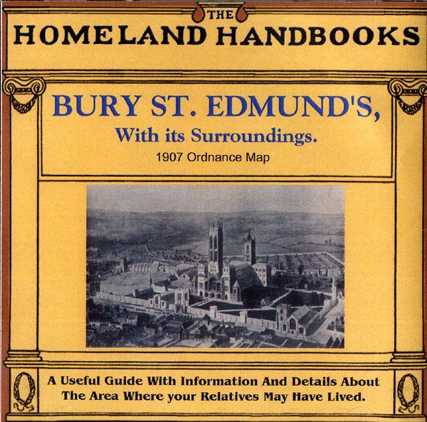
This guide provides invaluable background information on Bury St. Edmund's, with its Surroundings in the 1900's. This official council guide has maps, photographs and illustrations. It covers the history, traditions, worthies, antiquities and literary associations. This CD is a useful guide with information and details about the area where your relatives may have lived. *Digitally enchanced images of the original text *Includes maps, photographs and illustrations *Searchable by whole or pa... More Info
Can't find what you're looking for? Try using our filter system to narrow down your search.
Available through our sister site GenFair
Tithe Map - Saxmundham
A set of 27 maps of Saxmundham from the 1840s tithe maps, as printed in the Suffolk Snapshots No.5 book. Files supplied in .tif format.
Tithe Map - Yoxford
A set of 18 maps of Yoxford from the 1840s tithe maps, as printed in the Suffolk Snapshots No.6 book. Files supplied in .tif format.
Tithe Map - Darsham
A set of 16 maps of Darsham from the 1840s tithe maps, as printed in the Suffolk Snapshots No.7 book. Files supplied in .tif format.
Tithe Map - Westleton
A set of 36 maps of Westleton from the 1840s tithe maps, as printed in the Suffolk Snapshots No.8 book. Files supplied in .tif format.
Tithe map - Knodishall
A set of 26 maps of Knodishall from the 1840s tithe maps, as printed in the Suffolk Snapshots No.9 book. Files supplied in .tif format.