Search Results for: “Suffolk”
Suffolk, The Homeland Handbooks - Bury St. Edmund's, with its Surroundings - 1907 Ordnance Map Special Offer Free UK P&P
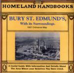
This guide provides invaluable background information on Bury St. Edmund's, with its Surroundings in the 1900's. This official council guide has maps, photographs and illustrations. It covers the history, traditions, worthies, antiquities and literary associations. This CD is a useful guide with information and details about the area where your relatives may have lived. *Digitally enchanced images of the original text *Includes maps, photographs and illustrations *Searchable by whole or pa... More Info
Can't find what you're looking for? Try using our filter system to narrow down your search.
Available through our sister site GenFair
SUFFOLK 1787
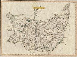
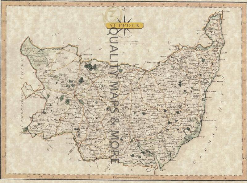
A QUALITY A3 SIZE COLOUR REPRODUCTION FROM JOHN CARY'S 1787 ATLAS WITH DETAILS OF THE COUNTY OVERLEAF. LASER PRINTER ON GOOD QUALITY CARTRIDGE PAPER. SENT FOLDED IN A PLASTIC DISPLAY SLEEVE IN A STIFF CARD ENVELOPE AT THE LARGE LETTER RATE. SCALES VARY
Suffolk (The King's England)
Arthur Mee's classic pre-WW2 guide to the region's settlements including churches and castles and other historic places – 'Our farthest east' – with 436 places and 161 pictures.