Search Results for: “Suffolk”
Suffolk, The Homeland Handbooks - Bury St. Edmund's, with its Surroundings - 1907 Ordnance Map Special Offer Free UK P&P
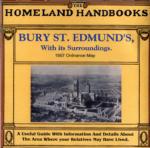
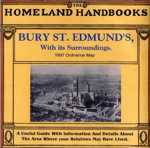
This guide provides invaluable background information on Bury St. Edmund's, with its Surroundings in the 1900's. This official council guide has maps, photographs and illustrations. It covers the history, traditions, worthies, antiquities and literary associations. This CD is a useful guide with information and details about the area where your relatives may have lived. *Digitally enchanced images of the original text *Includes maps, photographs and illustrations *Searchable by whole or pa... More Info
Can't find what you're looking for? Try using our filter system to narrow down your search.
Available through our sister site GenFair
The Bishops' Registers of Confirmations in the Midland and London Districts of the Catholic Church in England
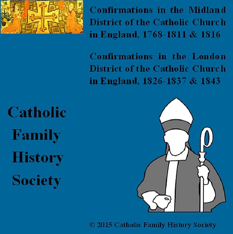
The Midland register covers 1768-1811 and 1816. The Midland District comprised the counties of Derbyshire, Huntingdonshire, Leicestershire, Lincolnshire, Norfolk, Northamptonshire, Nottinghamshire, Oxfordshire, Shropshire, Staffordshire, Suffolk, Warwickshire and Worcestershire. Includes an index to names, 265 pages The London Register covers 1826-1837 and 1843. The London District was comprised ...More Info
Tithe Map - Middleton
A set of 25 maps of Middleton cum Fordley from the 1840s tithe maps, as printed in the Suffolk Snapshots No.1 book. Files supplied in .tif format.
Tithe Map - Leiston
A set of 34 maps of Leiston cum Sizewell from the 1840s tithe maps, as printed in the Suffolk Snapshots No.2 book. Files supplied in .tif format.
Tithe Map - Kelsale
A set of 36 maps of Kelsale cum Carlton from the 1840s tithe maps, as printed in the Suffolk Snapshots No.3 book. Files supplied in .tif format.
Tithe Map - Theberton
A set of 16 maps of Theberton from the 1840s tithe maps, as printed in the Suffolk Snapshots No.4 book. Files supplied in .tif format.