Search Results for: “Sussex”
UK Maps Collection


A collection of over 100 maps covering England, Scotland, Ireland and Wales. These high resolution maps can show you how place-names and counties differed from the present day. Contains various printable maps showing towns, counties, and countries in the UK from as early as 1660. More Info
Product Code: GRD36
Sussex, Brighton c.1895 Map CD Special Offer
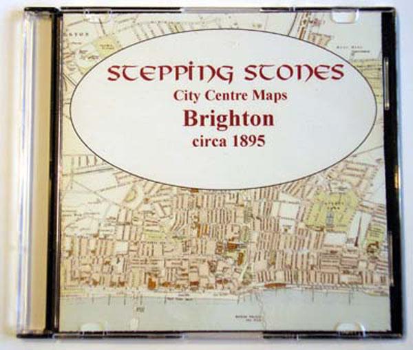
Stepping Stones publication Brighton c.1895 Map CD... More Info
Can't find what you're looking for? Try using our filter system to narrow down your search.
Available through our sister site GenFair
East Sussex 1851 Census Vol.07 - Battle to Brightling
Sussex, Ashburnham, Battle, Brightling, Dallington, Mountfield, Penhurst and Whatlington. Full details transcribed and indexed by Surname from C June Barnes' series of 23 books of East Sussex. Includes Microsoft .xls and Word .doc files and Adobe Acrobat .pdf reader required. Reduced sale price. Published by CJ Barnes.
Sussex Parish Map A3 Size
Sussex, Gazetteer and map with grid references of 480 Sussex parishes on A3 card folded to A5, with the date that each parish register began. Includes and names border parishes in Hampshire, Surrey and Kent. Essential for finding neighbouring parishes.
Surrey and Sussex Genealogists Library Guide 1
Sussex, Information Sources for Surrey and Sussex Genealogists. Stuart A Raymond. FFHS Published by Federation Family History Societies.
East Sussex 1851 Census Index
Sussex, Full details transcribed and indexed by Surname from C June Barnes' series of 23 books of East Sussex. Adobe Acrobat .pdf reader is required. Published by PBN Publications.