Search Results for: “Warwickshire”
UK Maps Collection


A collection of over 100 maps covering England, Scotland, Ireland and Wales. These high resolution maps can show you how place-names and counties differed from the present day. Contains various printable maps showing towns, counties, and countries in the UK from as early as 1660. More Info
£24.95
Product Code: GRD36
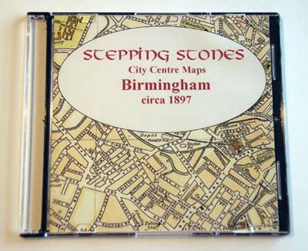
£9.95
Product Code: SS5082

Can't find what you're looking for? Try using our filter system to narrow down your search.
Available through our sister site GenFair

Bedworth All Saints (3)


Burials 1813-37 & Marriages 1754-1837; transcriptions for this populous and busy parish


Caldecote St Theobald & Chad + Weddington St James

Baps 1813-1861; Mar 1754-1837; Bur 1813-1837; transcriptions.