Search Results for: “Warwickshire”
S&N Tri-County CD of Devon, Norfolk and Warwick
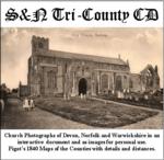
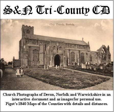
Church photographs of Devon, Norfolk, and Warwickshire in an interactive document and as images for personal use; Pigot's 1840 maps of the counties with details and distances... More Info
Product Code: GRD30
UK Maps Collection


A collection of over 100 maps covering England, Scotland, Ireland and Wales. These high resolution maps can show you how place-names and counties differed from the present day. Contains various printable maps showing towns, counties, and countries in the UK from as early as 1660. More Info
Product Code: GRD36
Product Code: SS5082

Can't find what you're looking for? Try using our filter system to narrow down your search.
Available through our sister site GenFair


Bedworth All Saints (3)


Burials 1813-37 & Marriages 1754-1837; transcriptions for this populous and busy parish


