Search Results for: “Warwickshire”
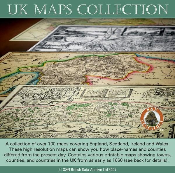
UK Maps Collection
A collection of over 100 maps covering England, Scotland, Ireland and Wales. These high resolution maps can show you how place-names and counties differed from the present day. Contains various printable maps showing towns, counties, and countries in the UK from as early as 1660. More Info
Product Code: GRD36
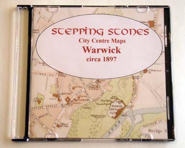
Product Code: SS5082
Can't find what you're looking for? Try using our filter system to narrow down your search.
Available through our sister site GenFair
Where is that? in north Warwickshire

Over 400 place names, map of parishes, Tithed parishes, Warwickshire Hundreds, 1851 Workhouse Unions map and North Warwickshire Manors.
Warwickshire (The King's England)

There have been many books on Warwickshire, but never one like this… Arthur Mee’s guide to 220 places in Warwickshire, from Alcester to Yardley, and including the cities of Coventry, Warwick and Birmingham, provides both a snapshot of the county before the Second World War and a comprehensive guidebook to the county’s heritage which remains invaluable for travellers and historians alike t...More Info
Discovering your roots in and around north Warwickshire

A comprehensive guide to starting your research in north Warwickshire. How to gather information and from where, civil registrations, places where you can do research, importance of DNA, what those abbreviations mean and much more.
WARWICKSHIRE 1787

A QUALITY A3 SIZE COLOUR REPRODUCTION FROM JOHN CARY'S 1787 ATLAS WITH DETAILS OF THE COUNTY OVERLEAF. LASER PRINTER ON GOOD QUALITY CARTRIDGE PAPER. SENT FOLDED IN A PLASTIC DISPLAY SLEEVE IN A STIFF CARD ENVELOPE AT THE LARGE LETTER RATE. SCALES VARY
