Search Results for: “West Lothian”
Scotland, West Lothian, Torphichen Parish Registers 1673-1714
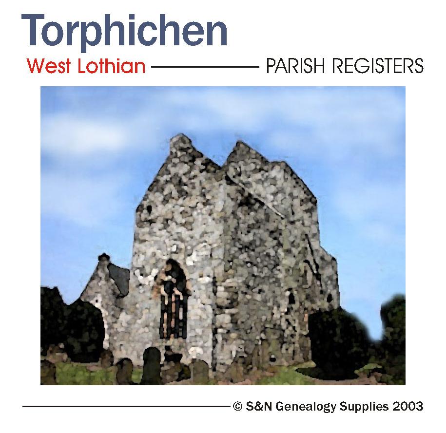
Scotland, West Lothian, Torphichen Parish Registers 1673-1714.... More Info
Product Code: PRS3200
Can't find what you're looking for? Try using our filter system to narrow down your search.
Available through our sister site GenFair
East & West Heslerton
Monumental inscription recordings, including burial record entries, location map and name index. This booklet includes East Heslerton and West Heslerton.
Hull (North West) 1909
Dated 1909. Sheet 226.14. 25in to the mile This detailed map covers the busy NW area of Hull, with coverage stretching from Perth Street and Richmond Street eastward to Waterloo Street, and from Welbeck Street northward to Torrington Street. This is a mainly residential area with many streets of terraces. Features include Pearson's Park, Beverley Road station, tramways, Sculcoates Workhouse, Stepn...More Info
Scarborough (West) 1910
Dated 1910. Sheet 078.16. 25in to the mile This detailed map covers the west of Scarborough with coverage extending from Victoria Road westward to Stepney Hill and Throxenby Hall. Features include Falsgrave, St James church, Hydropathic Establishment, Excursion station, Scarborough & Whitby line with Goods station, Falsgrave Road, Holy Trinity church, trams and depot, Scalby Road, cemetery, Old Bo...More Info
West Heslerton
West Heslerton Baptisms 1561-1837, Marriages 1584 -1837 & Burials 1561 – 1840. Created by Yorkshire Archaelogical Society
1851 Census Index - Barton-le-Clay, Caddington, East & West Hyde, Sharpenhoe, Stopsley, Streatley, Sundon
1851 Census Index on Fiche Vol 7 Book 1