Search Results for: “West Lothian”
Scotland, West Lothian, Torphichen Parish Registers 1673-1714
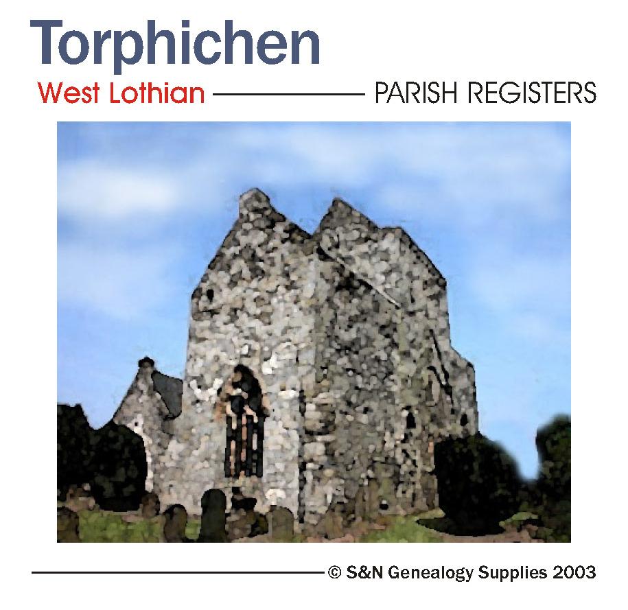
Scotland, West Lothian, Torphichen Parish Registers 1673-1714.... More Info
Product Code: PRS3200
Can't find what you're looking for? Try using our filter system to narrow down your search.
Available through our sister site GenFair
Chemistry in Bristol into the Early Twentieth Century
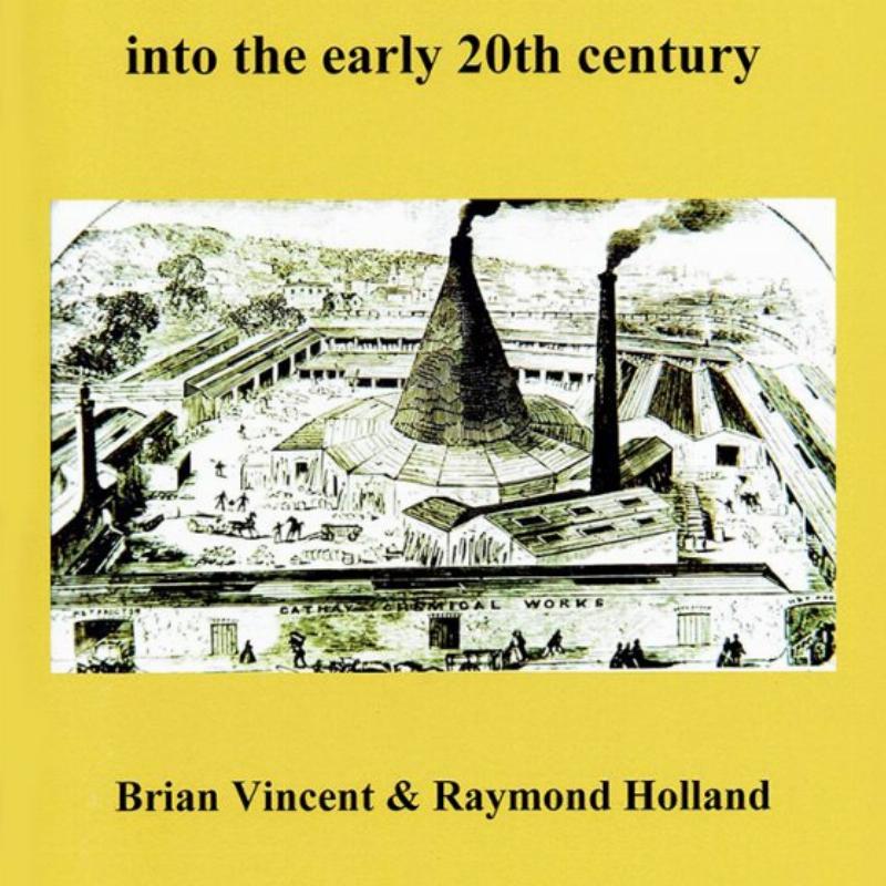
Brian Vincent and Raymond Holland 978 1 911592 18 1 Chemistry only emerged as a science in the later 18th century. Since then, it has transformed our understanding of the natural world, our medical care, and our products and processes. The knowledge and experience of the two authors well qualifies them to tell us how this story played out in Bristol over some 150 years. Brian Vincen...More Info
Hampstead Parish Research Guide
This booklet contains a list of the main records of interest to the genealogical researcher for the area based on the ancient parish of Hampstead and includes the districts of Belsize, parts of Chalk Farm and Child’s Hill, Finchley Road, Fortune Green, Frognal, Hampstead Heath, Haverstock Hill, Kenwood, Kilburn (east of Edgware Road), North End, Rosslyn Hill, Swiss Cottage, West End and West Ham...More Info
The Lothians Last Days of Steam by W.A.C. Smith
As early as the seventeenth century, there were primitive wagonways serving coal pits in the Lothians. In 1831 the Edinburgh & Dalkeith (horse-drawn) railway opened, then the Lothians had their first taste of steam with the opening of the Edinburgh & Glasgow Railway in 1842. The next fifty years saw a substantial expansion of the railway network, with routes pushing out from Edinburgh to many town...More Info
Hull and North Lincolnshire 1895
Dated 1895. Sheet 80. 1in to mile This One Inch to the Mile map covers Hull and the area westward to South Cave and Broomfleet, and southward across the Humber to Ulceby and Saxby All Saints. On the back, there is a detailed map of New Holland in Lincolnshire, showing the station and pier head, for the ferries across to Hull. Much the largest town on the map, of course, is Hull, but South Cave, Ba...More Info
Hull East 1908
Dated 1908. Sheet 240.03b. 25in to the mile Three versions of this detailed map have been published (1890, 1908 & 1928), showing how the area developed across the years. It covers much of central Hull, with coverage stretching from Jameson Street and King Edward Street eastward to Wyke Street. Features include Humber Dock, Prince's Dock, Queen's Dock, Victoria Dock, Garrison Side, Earle's Shipbuil...More Info