Search Results for: “West Lothian”
Scotland, West Lothian, Torphichen Parish Registers 1673-1714
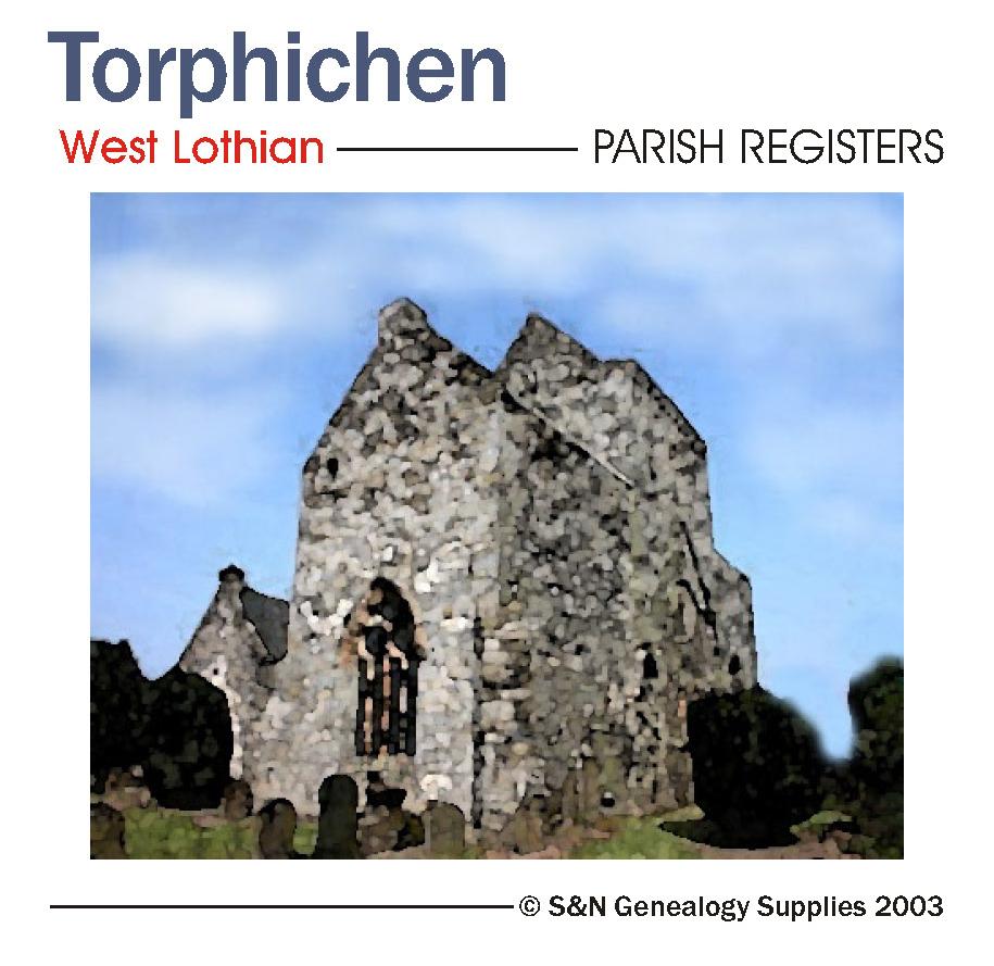
Scotland, West Lothian, Torphichen Parish Registers 1673-1714.... More Info
Product Code: PRS3200
Can't find what you're looking for? Try using our filter system to narrow down your search.
Available through our sister site GenFair
Hull (East) 1928
Dated 1928. Sheet 240.03c. 25in to the mile Three versions of this detailed map have been published (1890, 1908 & 1928), showing how the area developed across the years. It covers much of central Hull, with coverage stretching from Jameson Street and King Edward Street eastward to Wyke Street. Features include Humber Dock, Prince's Dock, Queen's Dock, Victoria Dock, Garrison Side, Earle's Shipbuil...More Info
Scarborough, Filey & District 1896
Dated 1896. Sheet 54. 1in to mile. This One Inch to the Mile map covers Scarborough and the area south and west, with coverage stretching from Filey westward to Rillington, and from Scarborough southward to Helperthorpe. Features include the Pickering & Scarborough railway, Ayton Castle, the fringe of the North Yorkshire Moors in the NW, and the chalk Wolds in the south. On the reverse, there is ...More Info
Whitby 1911
Dated 1911. Sheet 032.07. 25in to the mile This highly detailed map covers the coastal town of Whitby. As expected, it is crowded with the narrow streets and alleys that lead up from the harbour, each tiny house meticulously shown. The map covers virtually all the town and major features include (on the east bank) the great Abbey, St Mary's church, Abbey House, Workhouse, East Cliff, Church Street...More Info
Hull (Prospect Street) 1853
Dated 1853. Sheet 07. Early Large Scale Maps This detailed map covers the area around Prospect Street, stretching from College Street West eastward to Bond Street, and from Liddell Street southward to Temperance Street. Features include the General Infirmary, Waltham Street Chapel, Savings Bank School, Hull Ragged & Industrial School, St Stephen's church, West Street Brewery, and many streets of t...More Info
Old Mid & East Calder by William F Hendrie
Mid and East Calder are attractive small towns that are rich in history and were lucky enough to be photographed by an outstanding local photographer.