Search Results for: “West Lothian”
Scotland, West Lothian, Torphichen Parish Registers 1673-1714

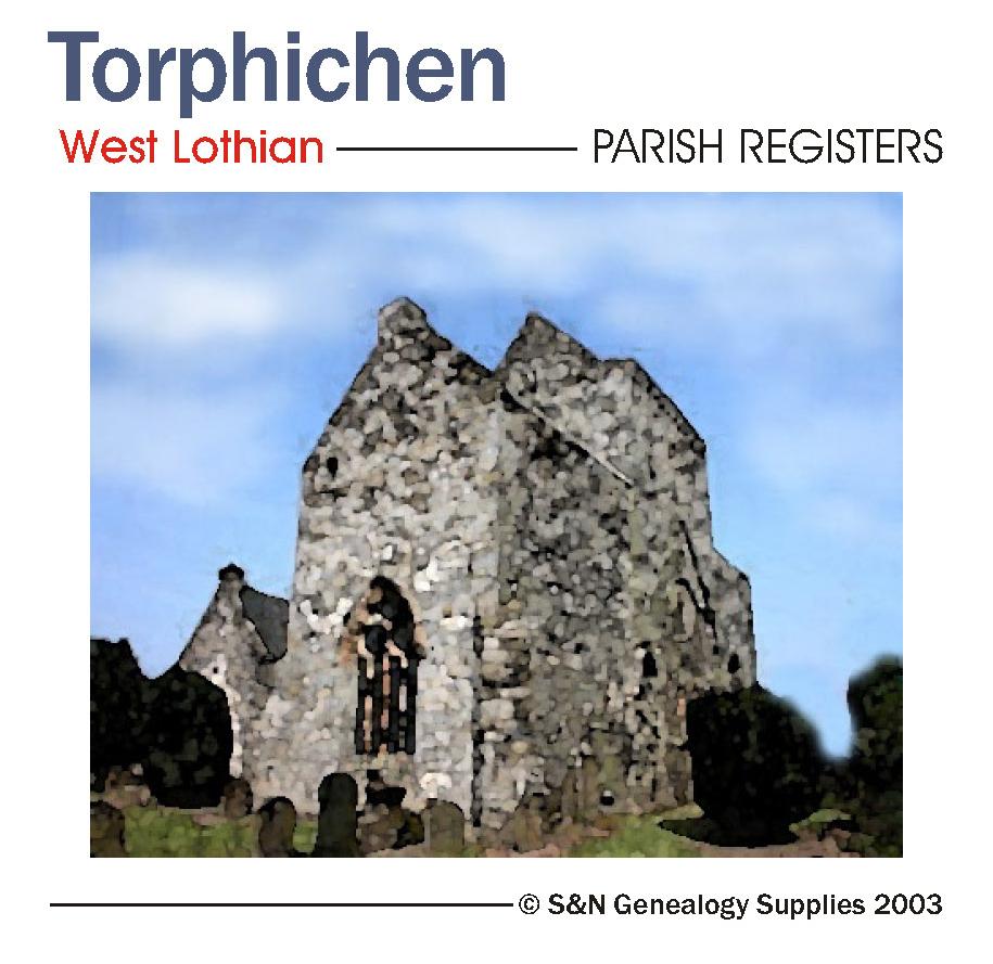
Scotland, West Lothian, Torphichen Parish Registers 1673-1714.... More Info
Product Code: PRS3200
Can't find what you're looking for? Try using our filter system to narrow down your search.
Available through our sister site GenFair
Hull, Hessle Road 1928
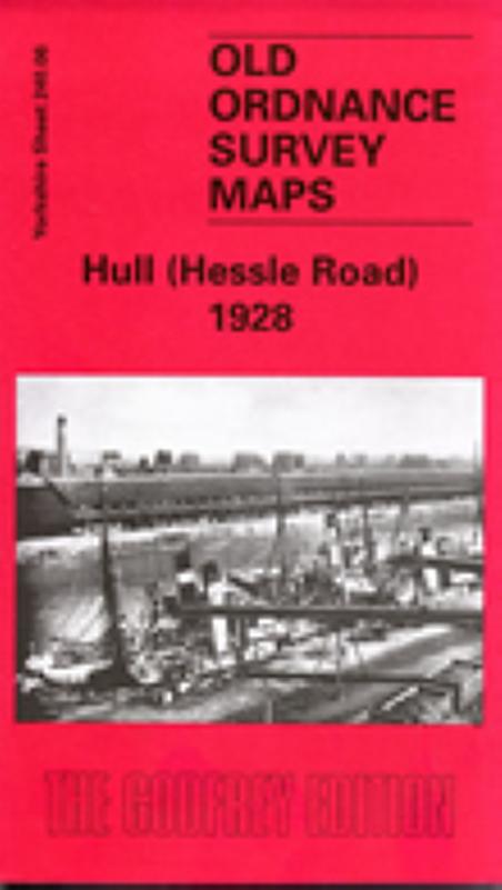
Dated 1928. 25in to the mile This detailed map covers the busy NE area of Hull, with coverage stretching from Cannon Street station northward to Lorraine Street, and from St Paul's Street eastward to New Bridge Road. Holderness Road runs through the map, as does a winding portion of the River Hull, lined with mills, wharves and factories. Features on the map include stretches of the Hull & Barnsl...More Info
Goole, Howden & District 1895
Dated 1895. Sheet 79. 1in to mile This One Inch to the Mile map shows the upper Humberhead levels, where the waters of the Pennines come together, finding their way towards the North Sea. Coverage stretches from Hambleton and Askern eastward to Ousefleet and Gilberdike, from Crowle northward to Wressell. Goole, near the centre of the map, is the only substantial town, though the map also gives tow...More Info
Hull Alexandra Dock 1908
Dated 1908. Sheet 240.04. 25in to the mile The dominant feature on this map is the Alexandra Dock, opened in 1885 in association with the new Hull & Barnsley Railway. The map also covers the area along the Hedon Road, from Hotham Street eastward to Marfleet Lane, and includes much of the village of Marfleet (but not its church). Other features include Hedon Road Cemetery, Drypool & Southcoates Cem...More Info
Hull (North East) 1908
Dated 1908. Sheet 226.15. 25in to the mile This detailed map covers the busy NE area of Hull, with coverage stretching from Cannon Street station northward to Lorraine Street, and from St Paul's Street eastward to New Bridge Road. Holderness Road runs through the map, as does a winding portion of the River Hull, lined with mills, wharves and factories. Features on the map include stretches of the ...More Info
Hull Old Town 1853
Dated 1853. Sheet 12. Early Large Scale Maps This detailed map covers the much of the Old Town of Hull, the principal streets being Whitefriargate, Lowgate, Market Place, Mytongate, Blanket Row, Blackfriargate and Trinity House Lane. These are shown in great detail and features include Theatre Royal, South End Graving Dock, warehouses, Holy Trinity church, Trinity House, Watson's Hospital, Humber ...More Info