Search Results for: “West Lothian”
Scotland, West Lothian, Torphichen Parish Registers 1673-1714
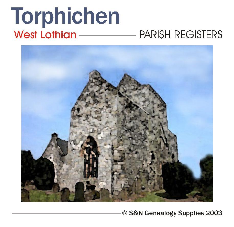
Scotland, West Lothian, Torphichen Parish Registers 1673-1714.... More Info
Product Code: PRS3200
Can't find what you're looking for? Try using our filter system to narrow down your search.
Available through our sister site GenFair
York (NE) & Heworth 1889
Dated 1889. Sheet 174.07. 25in to the mile This map covers the east of the city, including Layerthorpe and Heworth. Features include Red Tower and stretch of walls, Foss Islands Branch railway, gasworks, Monk Bridge, Layerthorpe Bridge, River Foss, workhouse, brick yards and glass works, old windmill, Heworth village, The Glen, Tang Hall, Holy Trinity church, Burnholme, Heworth Hall, Heworth Cotta...More Info
Yorkshire Wolds (South) 1905
Dated 1905. Sheet 72. 1in to mile This One Inch to the Mile map covers the area around and to the west of Beverley, stretching from Market Weighton eastward to Brandesburton, and from Kilnwick southward to Cottingham. On the reverse is a detailed map of the small town of Market Weighton, complete with directory. It is not possible to list the many hamlets, farmsteads and other topographical featur...More Info
Hull (Queens Dock) 1853
Dated 1853. Sheet 08. Early Large Scale Maps. This detailed map covers the area around and to the north of Queen's Dock, including Mason Street, Sykes Street, New George Street, Charter House, Kingston Square, Salthouse Lane, Great Union Street, part of Witham, North Bridge and Hodgson Street. Taken from an early engraved OS map it appears a little faint at first, but closer inspection finds a ma...More Info
Hull (Hessle Road) 1890
Dated 1890. 25in to mile, coloured Two versions of this map have been published (1890 & 1928), showing how the area changed across the years. The 1890 version is in full colour, taken from the beautiful handcoloured 1st Edition OS map. The maps cover the southwestern area of Hull along Hessle Road and including several of the docks. Coverage stretches from Hawthorn Avenue eastward to the Albert Do...More Info
York (SE) & Heslington 1890
Dated 1890. Sheet 174.11. 25in to mile, coloured This map is in colour, taken from the beautiful 1st Edition OS handcoloured map. It covers the area from Walmgate SE to Heslington. Features include: Walmgate Bar, St Margaret's church, City Wall, St Lawrence church, Convent of Poor Clares, Friend's Retreat, St Nicholas Hospital site, cattle market, Fulford Road with tramway, Cavalry Barracks, Infan...More Info