Search Results for: “Yorkshire”
UK Maps Collection


A collection of over 100 maps covering England, Scotland, Ireland and Wales. These high resolution maps can show you how place-names and counties differed from the present day. Contains various printable maps showing towns, counties, and countries in the UK from as early as 1660. More Info
Product Code: GRD36
Yorkshire, Bradford Area c.1920 Map CD (21 maps) Special Offer
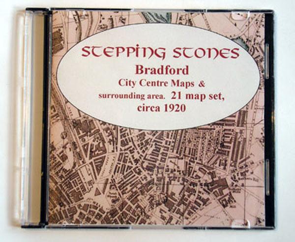
Stepping Stones publication Bradford Area c.1920 Map CD (21 maps)... More Info
Yorkshire, Bradford c.1890-95 Map CD (2 maps) Special Offer
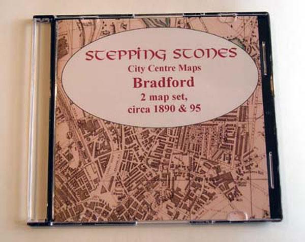
Stepping Stones publication Bradford Map CD (2 maps, c.1890-95)... More Info
Yorkshire, Halifax Area c.1920 Map CD (21 maps) Special Offer
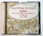
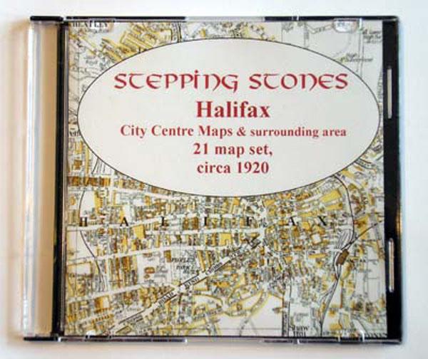
Stepping Stones publication Halifax Area c.1920 Map CD (21 maps)... More Info
Yorkshire, Harrogate c.1897 Map CD Special Offer
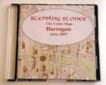
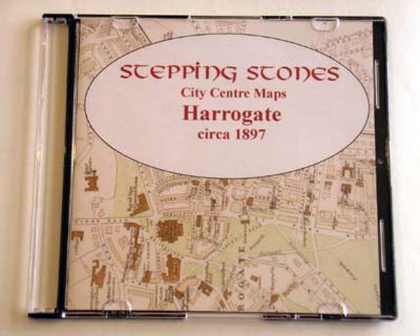
Stepping Stones publication Harrogate c.1897 Map CD... More Info
Yorkshire, Huddersfield Area c.1920 Map CD (24 maps) Special Offer
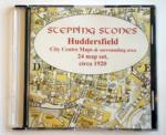
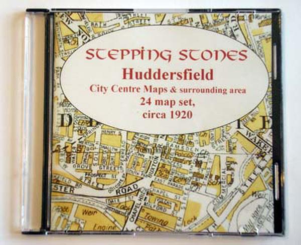
Stepping Stones publication Huddersfield Area c.1920 Map CD (24 maps)... More Info
Yorkshire, Hull Map CD (2 maps, c.1890-95) Special Offer
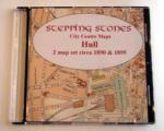
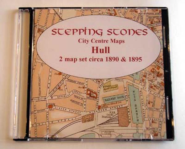
Stepping Stones publication Hull Map CD (2 maps, c.1890-95)... More Info
Leeds Area c.1920 Map CD (21 maps) Special Offer


Stepping Stones publication Leeds Area c.1920 Map CD (21 maps)... More Info
Yorkshire, Leeds Map CD (2 maps, c.1890-95) Special Offer
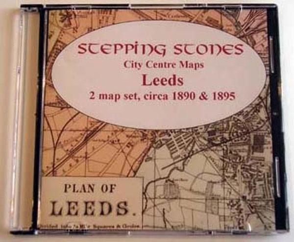
Stepping Stones publication Leeds Map CD (2 maps, c.1890-95)... More Info
Scarborough c.1897 Map CD Special Offer
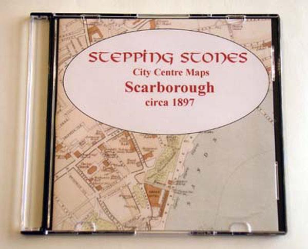
Stepping Stones publication Scarborough c.1897 Map CD... More Info
Sheffield c.1890 Map CD Special Offer
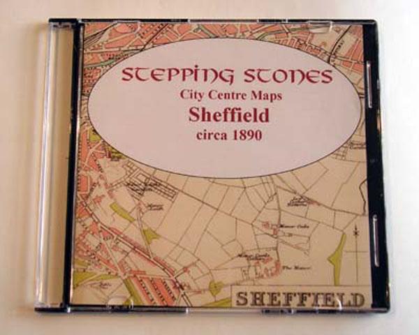
Stepping Stones publication Sheffield c.1890 Map CD... More Info
Skipton & Harrogate Area c.1920 Map CD (30 maps) Special Offer

Stepping Stones publication Skipton and Harrogate Area c.1920 Map CD (30 maps)... More Info
Yorkshire, Wakefield Area c.1920 Map CD (24 maps) Special Offer
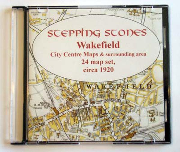
Stepping Stones publication Wakefield Area c.1920 Map CD (24 maps)... More Info
Yorkshire, York c.1890 Map CD Special Offer
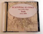
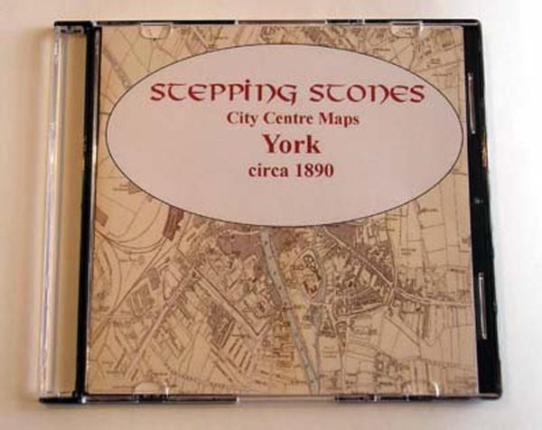
Stepping Stones publication York c.1890 Map CD... More Info
Can't find what you're looking for? Try using our filter system to narrow down your search.
Available through our sister site GenFair
KELLY'S DIRECTORY OF THE WEST RIDING OF YORKSHIRE 1927
Kelly's 1927 Directory of the West Riding of Yorkshire. Filling in the gaps between the 1901 census and living memory, this directory can help. Includes History, Topography, Street Directory, Alphabetical Directory, Trades Directory and Official Information. There are listings for Private Residents, Trades & Professional and, for the larger towns, a street index. Note: The West Riding includes som...More Info
1897 KELLY’S DIRECTORY OF THE WEST RIDING OF YORKSHIRE
Another great Kelly's Directory. This one has the whole of the West Riding of Yorkshire. Note: The West Riding includes some places which are now within the boundaries of North Yorkshire and also East Yorkshire, since the administrative boundary changes in 1974. Includes History, Topography, Street Directory, Alphabetical Directory, Trades Directory and Official Information. The contents include a...More Info
Hearth Tax Returns for South Yorkshire 1672
Scanned copy of book published in 1991 containing a transcription and index of the Hearth Tax Returns for South Yorkshire taken on Ladyday 1672. It lists thousands of names of tax payers from across South Yorkshire. The original book is out of print.
1879 KELLY'S POST OFFICE DIRECTORY OF THE NORTH & EAST RIDINGS OF YORKSHIRE WITH THE CITY OF YORK & THE PORT OF HULL
The complete contents of both the North and East Ridings of Yorkshire all on one CD. Over 1,000 pages, plus indexes to places and advertisers and lists of the Principal Seats of the North and East Ridings of Yorkshire. Listing private residents, classified index of trades and street indexes for larger places. This is only available as a download and will be sent by email within 1-3 days.
1908 KELLY'S DIRECTORY OF THE WEST RIDING OF YORKSHIRE VOLUME ONE
The West Riding of Yorkshire Every Town, Village and Hamlet except Leeds, Bradford, Sheffield and Rotherham. (Note: There are many places, now in North Yorkshire, which were part of the West Riding in the early 20th century; places such as Selby, Harrogate, Ripon, etc., are detailed here.) 1,493 pages This is only available as a download and will be sent by email within 1-3 days.