Search Results for: “poll book”
Discover Your Ancestors Periodical - Issue 18 (October 2014)
Issue 18 features: * Housekeeping through history: Margaret Powling shows how housekeeping books can illuminate social history * Celebration of place: A new one-place studies conference * Wounded in WW1: Explore 1.3m casualty records online * Sea changes: Karen Foy on the many ways we can learn about our migrant ancestors * A walk in the park: The development of public parks * The slippery poll: 18th and 19th century poll books revealed * History in the details: Cloaks and mantles * Places in Focus: Norwich More Info
Product Code: DYAP018
Can't find what you're looking for? Try using our filter system to narrow down your search.
Available through our sister site GenFair
Memories of Lake Road and its Locality
This book covers the area enclosed by Lake Road, Fratton Road, Arundel Street and Commercial Road. 62 pages with 8 illustrations. 62 pages with 8 illustrations. First published in 1980; revised and expanded in 1999.
Going to Work Volume One
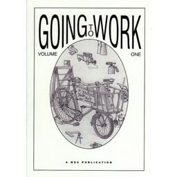
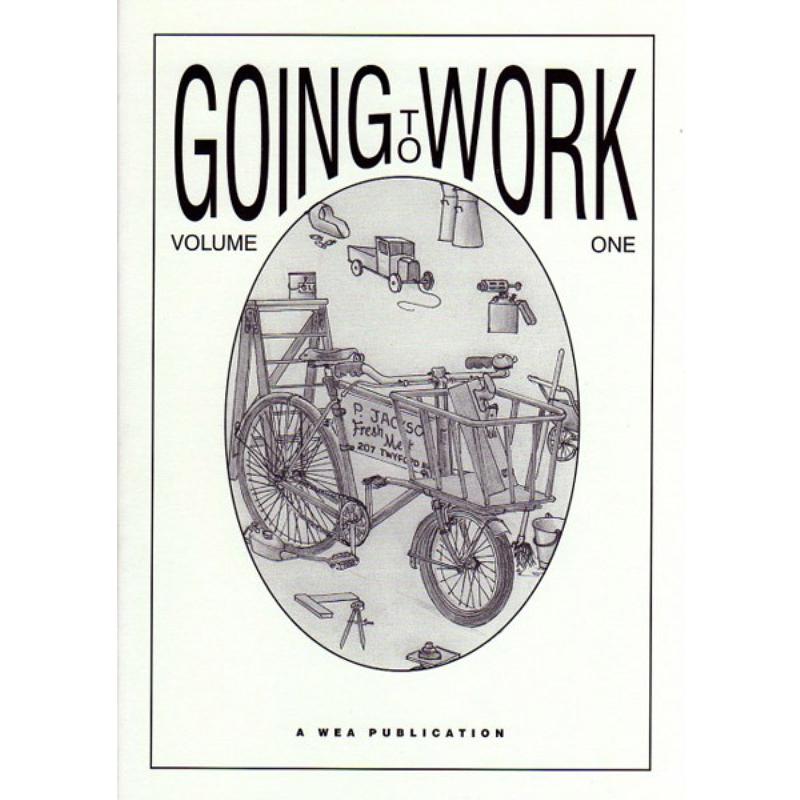
Published in 2001, this book contains memories of starting work in the Portsmouth-Portsea areas in a variety of trades and occupations. This is an illustrated version of the 1981 booklet.
Going to Work Volume Two
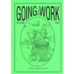
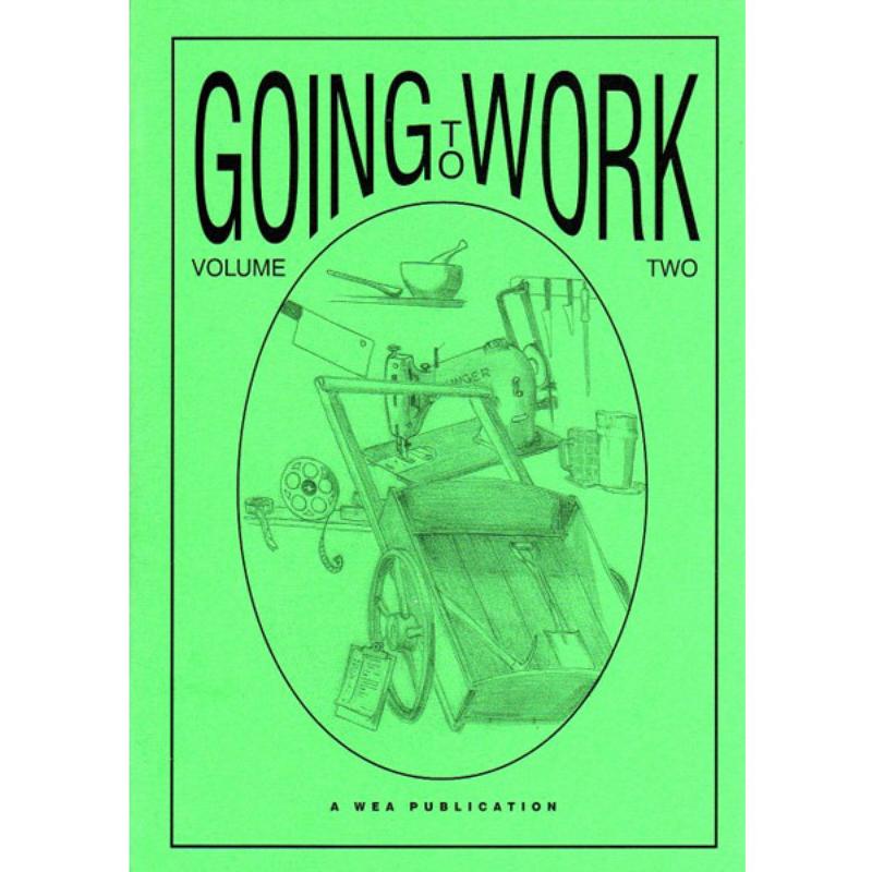
This book continues with more memories of starting work in the Portsmouth-Portsea areas in a variety of trades and occupations. Published in 2002.
Memories of Arundel Street
Revised in 2002, this book has 9 new illustrations and the addition of streets lying between Arundel Street and the railway.
Memories of Mile End and Rudmore
This book covers three adjacent areas on the west of Portsea Island: Flathouse along the western shore; Mile End surrounding part of Commercial Road; and Rudmore further north.