Search Results for: “Vivid Colour”
Blue Hummingbird Greeting Card

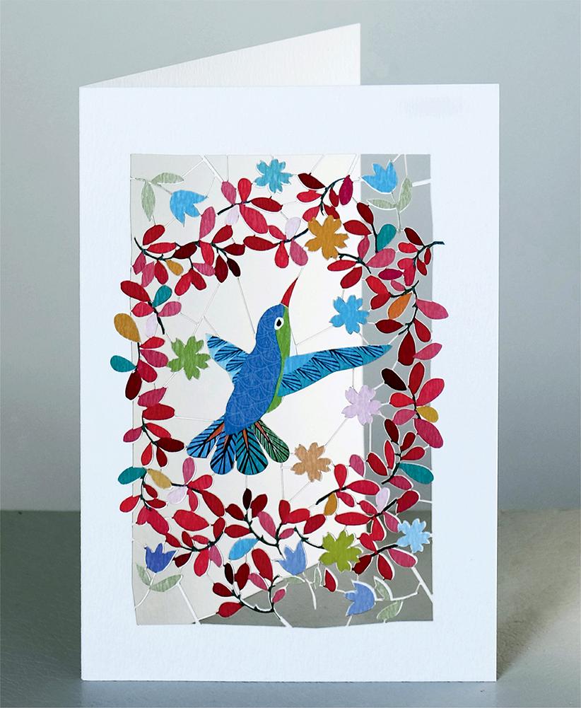
Just open up and be amazed by this intricately laser-cut card designed by GE Feng. Cards are sized 5x7, 127x178mm and are cello-wrapped with an envelope. A vivid hummingbird in the centre of a colourful array of red foliage. This elegant design is blank for your own message.... More Info
Product Code: CPM135
Can't find what you're looking for? Try using our filter system to narrow down your search.
Available through our sister site GenFair
Hull, Hessle Road 1928
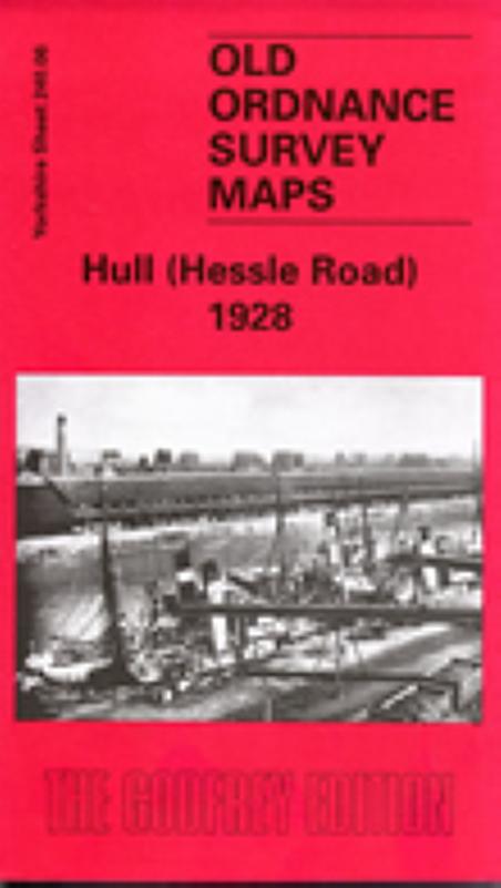
Dated 1928. 25in to the mile This detailed map covers the busy NE area of Hull, with coverage stretching from Cannon Street station northward to Lorraine Street, and from St Paul's Street eastward to New Bridge Road. Holderness Road runs through the map, as does a winding portion of the River Hull, lined with mills, wharves and factories. Features on the map include stretches of the Hull & Barnsl...More Info
Hull East 1908
Dated 1908. Sheet 240.03b. 25in to the mile Three versions of this detailed map have been published (1890, 1908 & 1928), showing how the area developed across the years. It covers much of central Hull, with coverage stretching from Jameson Street and King Edward Street eastward to Wyke Street. Features include Humber Dock, Prince's Dock, Queen's Dock, Victoria Dock, Garrison Side, Earle's Shipbuil...More Info
Hull (East) 1928
Dated 1928. Sheet 240.03c. 25in to the mile Three versions of this detailed map have been published (1890, 1908 & 1928), showing how the area developed across the years. It covers much of central Hull, with coverage stretching from Jameson Street and King Edward Street eastward to Wyke Street. Features include Humber Dock, Prince's Dock, Queen's Dock, Victoria Dock, Garrison Side, Earle's Shipbuil...More Info
Hull (North East) 1908
Dated 1908. Sheet 226.15. 25in to the mile This detailed map covers the busy NE area of Hull, with coverage stretching from Cannon Street station northward to Lorraine Street, and from St Paul's Street eastward to New Bridge Road. Holderness Road runs through the map, as does a winding portion of the River Hull, lined with mills, wharves and factories. Features on the map include stretches of the ...More Info
Hull (West) 1908
Dated 1908. Sheet 240.02a. 25in to the mile Three versions of this detailed map have been published (1890, 1908 & 1928), showing how the area developed across the years. The 1890 map is colour printed, from the beautiful OS handcoloured First Edition. The map covers a very busy area of west Hull, with coverage stretching from Albert Avenue and Plane Street eastward to Prospect Street and Paragon S...More Info