Search Results for: “London Directory”
Tracing Your Coalmining Ancestors - A Guide for Family Historians by Brian Elliott
In the 1920's there were over a million coalminers working in over 3000 collieries across Great Britain and the industry was one of the most important and powerful in British history. It dominated the lives of generations of individuals, their families and communities, and its legacy is still with us today - many of us have a coalmining ancestor. Yet family historians often have problems in researching their mining forebears. Locating the relevant records, finding the sites of the pits, and... More Info
Product Code: BK6424
Can't find what you're looking for? Try using our filter system to narrow down your search.
Available through our sister site GenFair
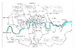
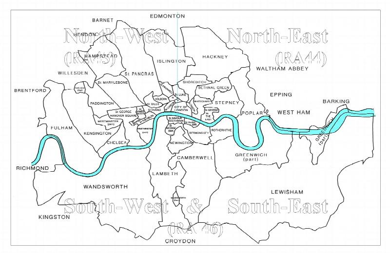
CD22 The London Telephone Directory, January 1911
January 1911. Compiled at the beginning of November 1910, five months before the 1911 census, this is a directory of subscribers to two telephone companies operating in the London Area, viz. The Post Office London Telephone Service and The National Telephone Company, listing an estimated 125,000 subscribers. The area covered includes Barnet, Croydon, Esher, Harrow, Kingston, Richmond, Wimbledon an...More Info
CD23 Outer London (SURREY) Telephone Directory - January 1954
January 1954. One of a series of six new directories replacing the old London Directory. Coverage: Richmond, Kingston, Malden and Mitcham to the north, Caterham, Croydon, Upper Warlingham and Woldingham to the east, Betchworth, Dawes Green, Redhill & Reigate to the South and Byfleet, Chertsey, Chobham and Egham to the west. It does not cover Guildford, Woking nor areas to the south and west of ...More Info
CD43 General Indexes to Old Ordnance Survey Maps of London
CD 43 General Indexes to Old Ordnance Survey Maps of London (Godfrey Edition). Research in Victorian London very soon gives rise to the question "where is such-and-such a street?". It may be on a modern map, but quite often is not. The re-publication of early Ordnance Survey 1:2500 maps in the reduced scale Godfrey Edition gives the researcher a chance but, even if the street is on the sheet one h...More Info
Atlas of London circa 1908
By J & A Catlyn, published by Cyrene Publications (2003). 20 coloured maps of Central London, with searchable Index to over 7000 streets computer-linked to the maps. An Index to 1000 places of interest in London and 16 maps of the Environs of London. Included is a small eight-page booklet advising on how to make the best use of this CD.
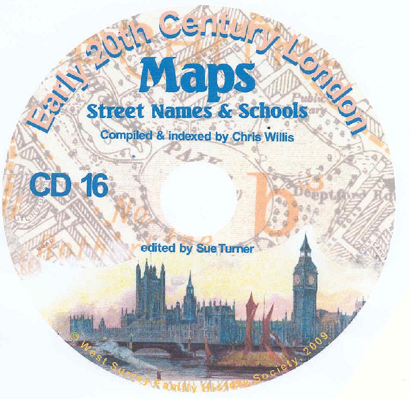
CD16 Early 20th Century London: Maps, Street Names and Schools
Compiled and indexed by Chris Willis, edited by Sue Turner, Nov 2009. This CD contains the six Board School Maps of London, produced in 1906/7 by the London Schools Authorities. They were based on the 6" Ordnance Survey stock of the time and over printed with boundaries of the areas used in controlling the schools and also with the actual schools. To provide an index into the maps, a Street index ...More Info