Search Results for: “london census transcript”
Understanding Documents for Genealogy and Local History by Bruce Durie
This book details how to find and comprehend documents from 1560 to the 1860s, including wills, testaments, contracts, land records, official records, deeds, and more. The Latin glossary is especially useful for helping translate any Latin documents. Genealogists and local historians have probably seen every birth, marriage, death and census record available, and are adept at using the internet for research. However, once they have learnt everything they can from them, the next step is readin More Info
Product Code: BK6252
Can't find what you're looking for? Try using our filter system to narrow down your search.
Available through our sister site GenFair
CD43 General Indexes to Old Ordnance Survey Maps of London
CD 43 General Indexes to Old Ordnance Survey Maps of London (Godfrey Edition). Research in Victorian London very soon gives rise to the question "where is such-and-such a street?". It may be on a modern map, but quite often is not. The re-publication of early Ordnance Survey 1:2500 maps in the reduced scale Godfrey Edition gives the researcher a chance but, even if the street is on the sheet one h...More Info
The Streets of the City of London in the Census of 1851
A 48-page A5 illustrated LWMFHS booklet contains a list of all the street names in the City of London which appear in the 1851 census returns, which it is hoped will be useful information for the genealogical researcher.
1841 Census of Glamorgan - Complete Transcript on CD
Complete transcript. Fully-searchable. PC and Mac version - Please note Merthyr Tydfil is divided into Upper and Lower districts for census and registration purposes and Upper Merthyr Tydfil is 'officially' missing for 1841. The Public Record Office cannot say whether it is lost or destroyed. The missing section includes all of the parish of Vaynor, most of Penydarren, the top section of Cyfarthfa...More Info
Atlas of London circa 1908
By J & A Catlyn, published by Cyrene Publications (2003). 20 coloured maps of Central London, with searchable Index to over 7000 streets computer-linked to the maps. An Index to 1000 places of interest in London and 16 maps of the Environs of London. Included is a small eight-page booklet advising on how to make the best use of this CD.
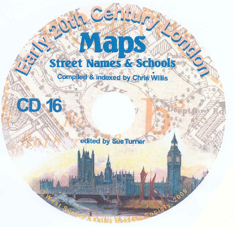
CD16 Early 20th Century London: Maps, Street Names and Schools
Compiled and indexed by Chris Willis, edited by Sue Turner, Nov 2009. This CD contains the six Board School Maps of London, produced in 1906/7 by the London Schools Authorities. They were based on the 6" Ordnance Survey stock of the time and over printed with boundaries of the areas used in controlling the schools and also with the actual schools. To provide an index into the maps, a Street index ...More Info