Search Results for: “Berkshire”
UK Maps Collection


A collection of over 100 maps covering England, Scotland, Ireland and Wales. These high resolution maps can show you how place-names and counties differed from the present day. Contains various printable maps showing towns, counties, and countries in the UK from as early as 1660. More Info
Product Code: GRD36
Can't find what you're looking for? Try using our filter system to narrow down your search.
Available through our sister site GenFair
Berkshire (The KIng's England)
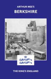
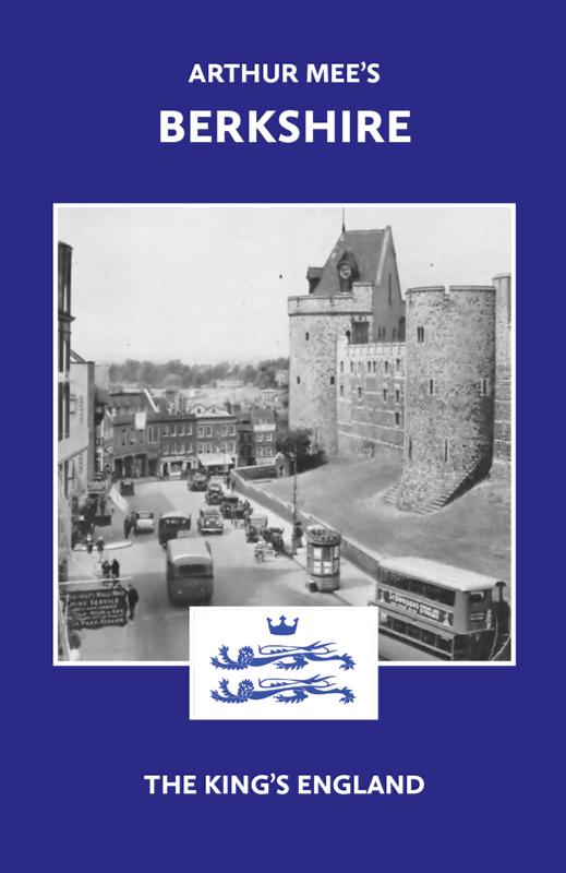
There have been many books on Berkshire, but never one like this… The perfect historic guide to Berkshire churches, castles and other historic places. “A thousand years of history is wrapt up in the Berkshire hills, and far beyond that its story goes…” – Arthur Mee Arthur Mee’s guide to 170 places in the historic county of Berkshire (including the Vale of the White Horse, in O...More Info
BERKSHIRE 1787
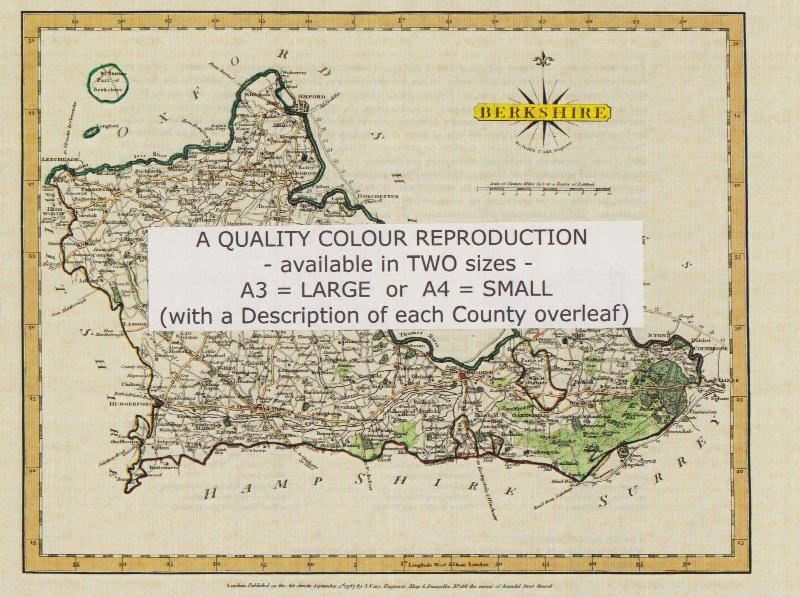
A QUALITY A3 SIZE COLOUR REPRODUCTION FROM JOHN CARY'S 1787 ATLAS WITH DETAILS OF THE COUNTY OVERLEAF. LASER PRINTER ON GOOD QUALITY CARTRIDGE PAPER. SENT FOLDED IN A PLASTIC DISPLAY SLEEVE IN A STIFF CARD ENVELOPE AT THE LARGE LETTER RATE. SCALES VARY
Berkshire 1823-4 Pigot Directory
25 pages on mini-CD from fiche images filmed from the original book, .pdf reader required. Published by SFHG & Parish Register Transcription Society.
Berkshire 1850 Slater's Directory
68 pages on mini-CD from fiche images filmed from the original book, .pdf reader required. Published by SFHG & Parish Register Transcription Society.