Search Results for: “Yorkshire Census”
Surname Atlas Version 1.20
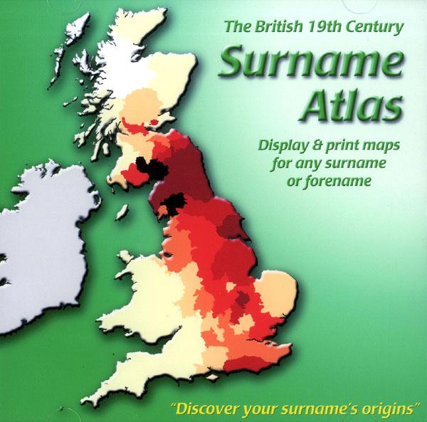
The 19th Century Surname Atlas for Great Britain displays and prints maps showing the concentrations for any surname or forename. The CD includes maps for all of the 400,000+ surnames that appear in the 1881 census and all of the forenames too. Print the maps at any scale and copy to the clipboard for pasting into printed documents or creating web graphics. Not suitable for Macintosh computers. Minimum requirements *Windows 10/8/7/Vista/XP/98 *CD-Rom/DVD-Rom drive (required for inst More Info
Product Code: SW1713
Bacon's Atlas of the British Isles 1881
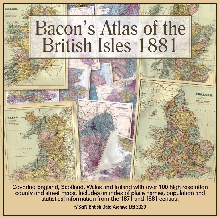
This virtual DVD resource covers England, Scotland, Wales and Ireland with over 100 high-resolution county and street maps. Includes an index of place names, population and statistical information from the 1871 and 1881 census.... More Info
Product Code: GRD6768
Can't find what you're looking for? Try using our filter system to narrow down your search.
Available through our sister site GenFair
1861 Census of Breconshire: - Complete
The 1861 Census for the whole of Breconshire, including missing parishes. The disk includes a Surname Index and the "as eumerated" transcripts
1871 Census of Breconshire: - Complete
The 1871 census for whole County with "As Enumerated" transcripts, including parts of Glamorgan, Hereford & Radnorshire.
1901 Census of Breconshire: - Complete
The 1901 census for whole County withTranscripts of "As Enumerated" schedules and Surname Indexes
Census returns 1841-1891 in Microform: a directory to local holdings in Great Britain
By Jeremy Gibson & Elizabeth Hampson. Many libraries and record offices hold copies of the census on microform. This book is a directory of what is available where.
Purbeck Boundary Parishes Census Indexes
Census indexes for 1841, 1861 and 1871 for the following: Coombe Keynes, East Holme, East Lulworth, East Stoke, Kimmeridge, Steeple, Tyneham, West Lulworth and Wool - an almost complete transcription. Sorted by surname, folio, page and age to give approximate family groups.