Search Results for: “Monmouthshire”
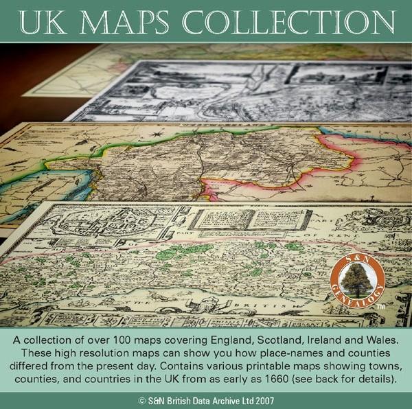
UK Maps Collection

A collection of over 100 maps covering England, Scotland, Ireland and Wales. These high resolution maps can show you how place-names and counties differed from the present day. Contains various printable maps showing towns, counties, and countries in the UK from as early as 1660. More Info
Product Code: GRD36
Can't find what you're looking for? Try using our filter system to narrow down your search.
Available through our sister site GenFair
1891 Census of Monmouthshire - Usk & District

Covering Goetre, Gwehellog, Gwernesney, Kemeys Commander, Llanbadoc. Llangeview, Llanllowell, Llantrisant, Monkswood, Trostrey, Usk and Usk Prison
1891 Census of Monmouthshire - Abergavenny and District

Covering Abergavenny, Bettws Newydd, Bryngwyn, Bwlch Trewyn, Clytha, Cwmyoy (Upper and Lower), Fwthog (Herefordshire), Llanarth, Llanellen, Llanfair Kilgeddin, Llanfoist, Llangattock Lingoed, Llangattock nigh Usk, Llanover Lower, Llansantffraid, Llanthewy Rytherch, Llanthewy Skirrid, Llantilio Pertholey, Llanvapley, Llanvetherine, Llanviangel Crucorney, Llanviangel Gobion, Llanwernarth Citra, Oldc...More Info
Monmouthshire Marriage Index 1813-1837 - Brides
Marriage Index 1813-1837, indexed by brides name (7 fiche)
Monmouthshire Marriage Index 1813-1837 - Grooms
Marriage Index 1813-1837, indexed by grooms name (7 fiche)
Monmouthshire Marriage Index 1813-1837

Complete Marriage Index 1813-1837, indexed by both bride's and groom's name


