Search Results for: “Wales”
1898 Royal Atlas of England and Wales (edited by J.G. Bartholomew)
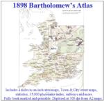
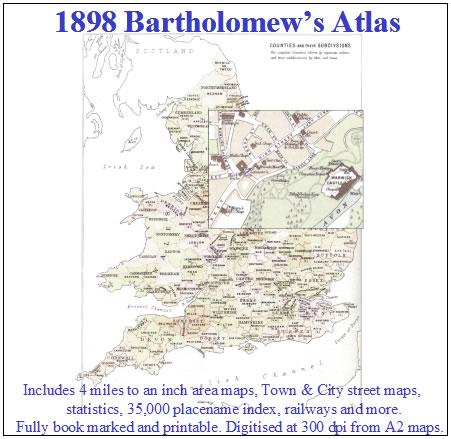
A complete series of topographical maps, physical and statistical charts, town plans, and index of 35,000 names (England and Wales - includes City street maps showing locations no longer in existence through development and bombing in World War II).... More Info
UK Maps Collection


A collection of over 100 maps covering England, Scotland, Ireland and Wales. These high resolution maps can show you how place-names and counties differed from the present day. Contains various printable maps showing towns, counties, and countries in the UK from as early as 1660. More Info
Product Code: GRD36
Bacon's Atlas of the British Isles 1881
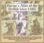
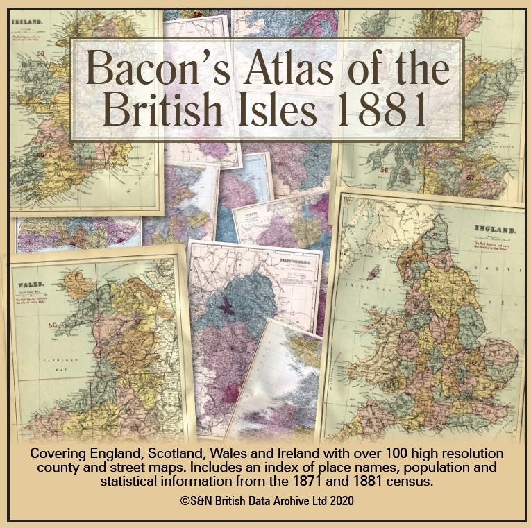
This virtual DVD resource covers England, Scotland, Wales and Ireland with over 100 high-resolution county and street maps. Includes an index of place names, population and statistical information from the 1871 and 1881 census.... More Info
Product Code: GRD6768
Can't find what you're looking for? Try using our filter system to narrow down your search.
Available through our sister site GenFair
The Society of Friends (South Wales Quakers)
These are available as a set of 4 books:- Bk 1 Births 1699-1925, Marr 1698-1925 & Memb 1838-1924, Bk 2 Burials 1693 - 1963 and Burial Grounds 1800 - 1863, Bk 3 Removal Certs 1763-1873 & Acknowledgments 1803-1868, Bk 4 Quakers active 1654-1900 & Sufferings 1660-65 & 1821-37.
Historic Roll for Wales Wesleyan Methodist Vol 17 Pts 1&2
Wesleyan Methodist 20th Century Fund 1898-1904 Vol 17 Parts 1 & 2 Circuits: Cardiff Wesley;Cardiff Roath Road;Cardiff Canton;Cardiff Penarth;Cardiff Mission
Historic Roll for Wales Wesleyan Methodist Vol 17 Pts 3&4
Wesleyan Mehtodist 20th Century Fund 1898-1904 Vol 17 Parts 3 & 4 Circuits: Newport; Risca; Pontypridd;Rhondda;Ferndale(English);Bridgend;Cowbridge
Historic Roll for Wales Wesleyan Methodist Vol 18 Pts 1&2
Wesleyan Methodist 20th Century Fund 1898 -1904 Vol 18 Parts 1 & 2 Circuits: Pontypool;Abergavenny;Swansea(English);Gower;Neath'Merthyr Tydfil (English) ; Aberdare (English)