Search Results for: “Lancashire”
UK Maps Collection


A collection of over 100 maps covering England, Scotland, Ireland and Wales. These high resolution maps can show you how place-names and counties differed from the present day. Contains various printable maps showing towns, counties, and countries in the UK from as early as 1660. More Info
Product Code: GRD36
Liverpool Street Map c.1890
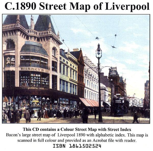
Liverpool colour street map with street index (Originally published by Bacon, c.1890).... More Info
The Genealogists' Atlas Of Lancashire Circa. 1930 Free UK P&P
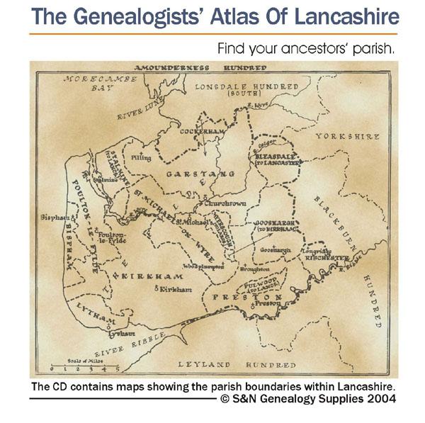
This CD is fully bookmarked and allows you to search through the parishes to help find your ancestors' parish. It contains maps of parishes and townships and lists of non-parochial registers.... More Info
Lancashire, Blackpool c.1897 Map CD Special Offer
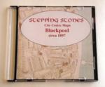
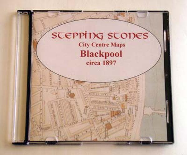
Stepping Stones publication Blackpool c.1897 Map CD... More Info
Liverpool Map CD (2 maps, c.1890-95) Special Offer
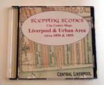
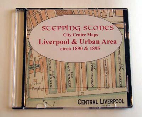
Stepping Stones publication Liverpool Map CD (2 maps, c.1890-95)... More Info
Manchester c.1890 Map CD Special Offer

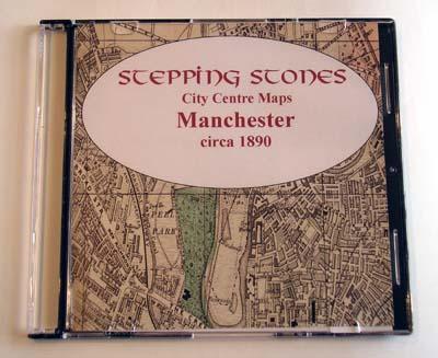
Stepping Stones publication Manchester c.1890 Map CD... More Info
Can't find what you're looking for? Try using our filter system to narrow down your search.
Available through our sister site GenFair
Heraldry in the Victoria County History of Lancashire
The CD contains images of armigers whose arms are depicted in The Victoria County History of Lancashire, and the blazons thereof. Also some corporate heraldry (civic, ecclesiastical etc) and a list of seals. Heraldry enthusiasts will notice the different spellings for the same charges. These are, no doubt, as shown in the original sources. There are some errors, however! What self-respecting armor...More Info
Lancashire (The King's England)
Arthur Mee's classic pre-WW2 guide to the region's settlements including churches and castles and other historic places – 'Cradle of Britain's prosperity' – with 250 places and 185 pictures.