Search Results for: “Herefordshire”
UK Maps Collection


A collection of over 100 maps covering England, Scotland, Ireland and Wales. These high resolution maps can show you how place-names and counties differed from the present day. Contains various printable maps showing towns, counties, and countries in the UK from as early as 1660. More Info
Product Code: GRD36
Can't find what you're looking for? Try using our filter system to narrow down your search.
Available through our sister site GenFair
PS90 Compleat Parish Officer 1734
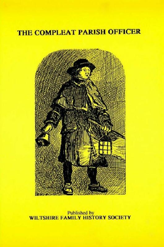
Reprint of a guide for parish officers to deal with complex poor laws and social problems. A5 104p
PS91 Handy Book of Parish Law
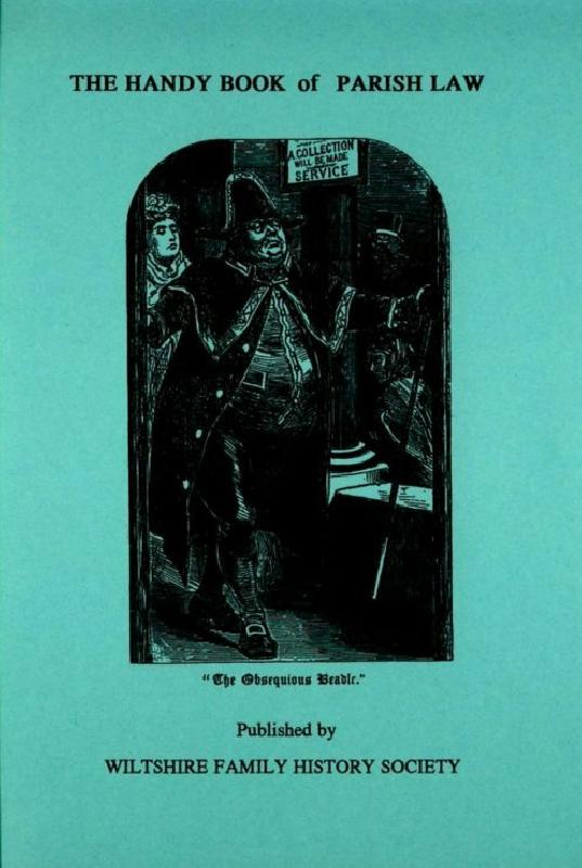
Reprint of a 3rd Ed. (1872) of a book dealing with many aspects of law affecting the parish and its officers. A5 112p
Behind the Battle of Barnet Banners: People of the Wars of the Roses
This book explores the lives of many of the people who fought at the Battle of Barnet. This person-by-person approach gives a picture of the life, society and culture of the late fifteenth century that goes far beyond the fight for the throne. This A4 format book of some 152 pages has been extensively researched. It is lavishly illustrated and a delight to read, being divided up into articles ...More Info