Search Results for: “Lancashire”
UK Maps Collection


A collection of over 100 maps covering England, Scotland, Ireland and Wales. These high resolution maps can show you how place-names and counties differed from the present day. Contains various printable maps showing towns, counties, and countries in the UK from as early as 1660. More Info
Product Code: GRD36
Liverpool Street Map c.1890
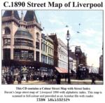
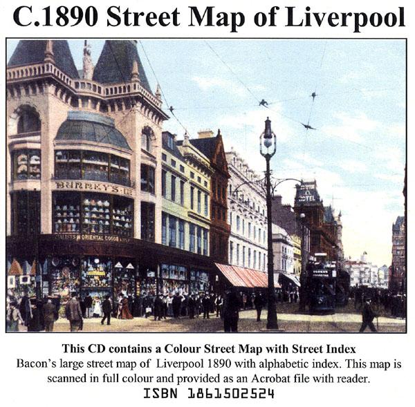
Liverpool colour street map with street index (Originally published by Bacon, c.1890).... More Info
The Genealogists' Atlas Of Lancashire Circa. 1930 Free UK P&P
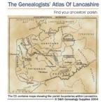
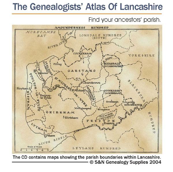
This CD is fully bookmarked and allows you to search through the parishes to help find your ancestors' parish. It contains maps of parishes and townships and lists of non-parochial registers.... More Info
Lancashire, Blackpool c.1897 Map CD Special Offer
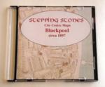
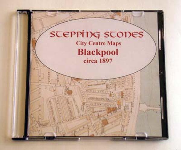
Stepping Stones publication Blackpool c.1897 Map CD... More Info
Liverpool Map CD (2 maps, c.1890-95) Special Offer
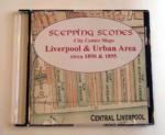
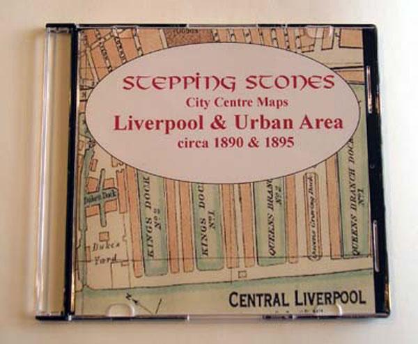
Stepping Stones publication Liverpool Map CD (2 maps, c.1890-95)... More Info
Manchester c.1890 Map CD Special Offer

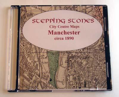
Stepping Stones publication Manchester c.1890 Map CD... More Info
Can't find what you're looking for? Try using our filter system to narrow down your search.
Available through our sister site GenFair
Seven Households: Life in Cheshire and Lancashire 1582 to 1774
By Charles Foster. Study of 4 gentry households and 3 yeoman households in the 17th and 18th centuries. Social, economic and local history
Membership of Lancashire Family History & Heraldry Society (1 year) Ordinary Membership
Individual below State retirement age.
Membership of Lancashire Family History & Heraldry Society (Extended) Ordinary Membership
Only available for new members joining between 1 June and 31 December; includes the two journals for half the current year and all the four journals for the next year. Individual below State retirement age.