Search Results for: “Surrey”
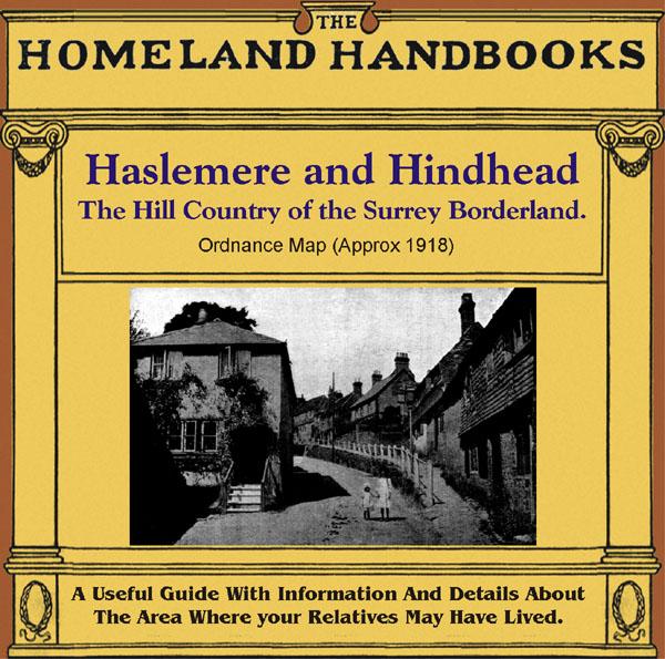
Surrey, The Homeland Handbooks - Haslemere and Hindhead - The Hill Country of the Surrey Borderland. Ordnance Map (Approx 1918) Special Offer

This guide provides invaluable background information on Haslemere and Hindhead in the 1900's. This official council guide has maps, photographs and illustrations. It covers the history, traditions, worthies, antiquities and literary associations. This is a useful guide with information and details about the area where your relatives may have lived. *Digitally enhanced images of the original text * Includes maps, photographs and illustrations * Bookmarked by major headings *Fully printable... More Info
Can't find what you're looking for? Try using our filter system to narrow down your search.
Available through our sister site GenFair
Some Travellers in the 1891 Census - 4

By Janet Keet-Black. Boatmen, Circus, Gypsies, Photographers, Showmen, Theatricals - extracted from Berkshire, Cornwall, Devon, Gloucestershire, Hampshire, Herefordshire, Lancashire, Oxfordshire, Somerset, Staffordshire, Surrey, Carmarthenshire, Denbighshire, Flintshire, Glamorganshire, Monmouthshire. Transcribed in "as enumerated" format with a surname index. 60 pages.
Dennard: The Family of Henry Dennard and Hannah Baker from 1798

The Family of Henry Dennard and Hannah Baker from 1798 Horse Dealer and Travelling Man From Mersham, Kent, England By Lesley Valentine 155x234mm, paperback, 72 pages Privately published by the author, 2023 Dennard is one of the rarer surnames to be found in Britain's Romany Gypsy community. This new book is therefore likely to be the first ever to document the history of this family ...More Info
Baptisms at nineteen United Methodist and United Free Methodist Churches in Sheffield between 1851 and 1988
Full transcriptions of 6,741 baptism records of nineteen United Methodist and United Free Methodist Chapels: Bradway Chapel Bradway (1872-1881), Brunswick United Methodist Free Church Lopham Street Burngreave (1922-1968), Deep Pits Chapel City Road (1920-1957), Firmount Chapel Cundy Street Walkley (1866-1954), Frederick Street United Methodist Church Darnall (1871-1957), Hunsley Street Free Method...More Info
Methodist Marriages in the Sheffield area
Transcription of details of marriages conducted at eighty seven Methodist chapels: Andover Street, Burngreave 1940-1975, Anns Road Chapel 1899-1990, Aston 1986-1989, Attercliffe Road 1912-1958, Beck Road, Shiregreen 1939-1980, Ben Lane, Wadsley 1920-1968, Ben Lane, Wisewood 1971-1974, Bethel Chapel, Carbrook 1922-1936, Bethel, Chapel Street, Woodhouse 1935-1950, Broomhill United Chapel, Glossop Ro...More Info
CD 16 EARLY 20th CENTURY LONDON: MAPS, STREET NAMES and SCHOOLS. Nov 2009.

Compiled and indexed by Chris Willis, edited by Sue Turner, 2009. This CD contains the six Board School Maps of London, produced in 1906/7 by the London Schools Authorities. They were based on the 6" Ordnance Survey stock of the time and over printed with boundaries of the areas used in controlling the schools and also with the actual schools. To provide an index into the maps, a Street index (pub...More Info


