Search Results for: “Leeds”
UK Maps Collection


A collection of over 100 maps covering England, Scotland, Ireland and Wales. These high resolution maps can show you how place-names and counties differed from the present day. Contains various printable maps showing towns, counties, and countries in the UK from as early as 1660. More Info
Product Code: GRD36
Leeds Area c.1920 Map CD (21 maps) Special Offer


Stepping Stones publication Leeds Area c.1920 Map CD (21 maps)... More Info
Yorkshire, Leeds Map CD (2 maps, c.1890-95) Special Offer
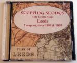
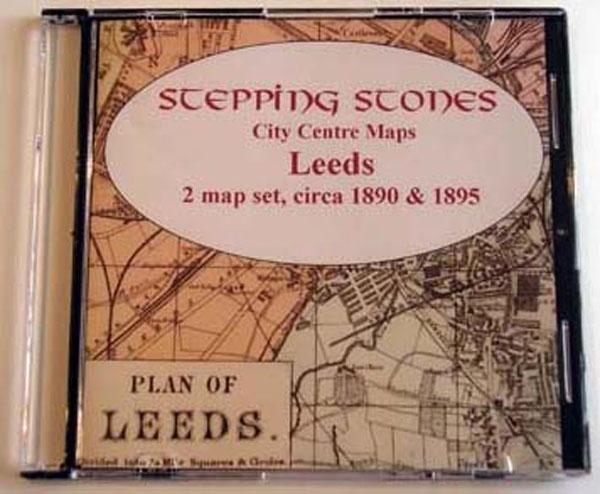
Stepping Stones publication Leeds Map CD (2 maps, c.1890-95)... More Info
Can't find what you're looking for? Try using our filter system to narrow down your search.
Available through our sister site GenFair
LEEDS PARISH REGISTERS - Vol. 8
A transcript of the Baptism, Marriage and Burial Registers of the Parish Church for 1722 to 1757
ANNALS OF LEEDS and Surrounding District
Interesting events that have occurred in this area, in chronological order, collected from the works of numerous authors, newspapers, &c.
Roman Catholic Churches in Central Bradford

**Published November 2011** Transcriptions of memorials at the churches, burial registers (\*) and monumental inscriptions. The places covered, with opening dates, are:- ST MARY'S CHURCHES (1825 & 1874) ST PATRICK'S CHURCH (1852) ST JOSEPH'S CHURCH (1868) ST ANN'S CHURCH (1872) ST PETER'S CHURCH (1871) LEEDS ROAD RC CEMETERY (1851) \* covering the peri...More Info
Yorkshire East Riding First edition maps 1848-1852
The First edition 6 inch maps of the East Riding of Yorkshire scanned from maps in various private collections including the Leeds Library
Hemingway Journal Back Issues for 2001/2002
Back issue pack of the Autumn and Spring Hemingway (and variants) Journal. The two Journals contain articles about John Benjamin Hemingway tried for rape in 1844, Talis Hemingway from the Winter Assizes 1860, More Hemingway Street Signs, Hemingways in Budapest, Hemingway POWs, Hemingways of Leeds and Charles Hemingway of Silsden, plus much more