Search Results for: “Buckinghamshire”
UK Maps Collection


A collection of over 100 maps covering England, Scotland, Ireland and Wales. These high resolution maps can show you how place-names and counties differed from the present day. Contains various printable maps showing towns, counties, and countries in the UK from as early as 1660. More Info
Product Code: GRD36
Can't find what you're looking for? Try using our filter system to narrow down your search.
Available through our sister site GenFair
BUCKINGHAMSHIRE 1787
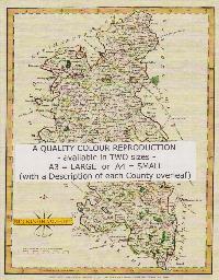
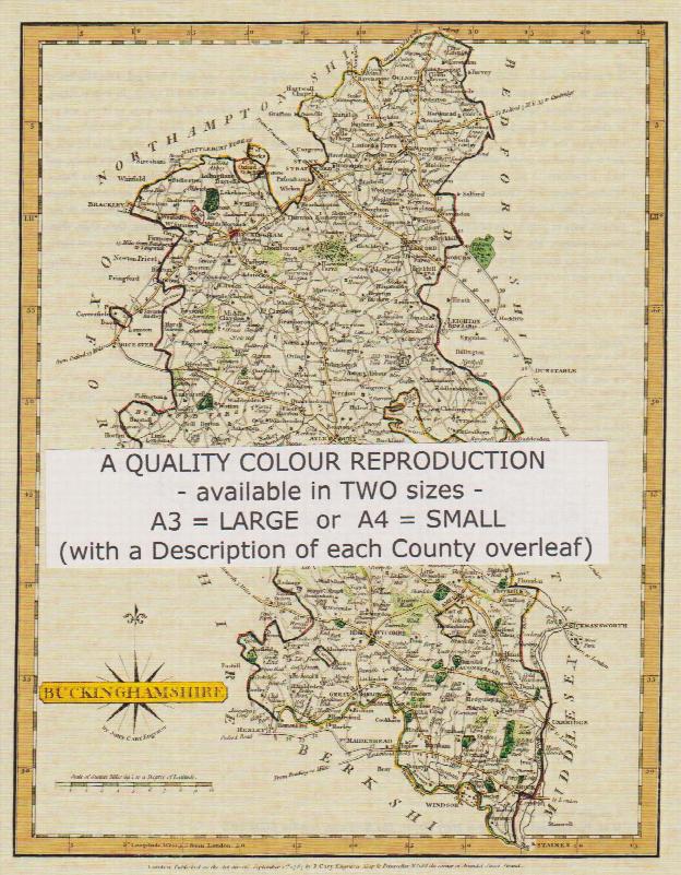
A QUALITY A3 SIZE COLOUR REPRODUCTION FROM JOHN CARY'S 1787 ATLAS WITH DETAILS OF THE COUNTY OVERLEAF. LASER PRINTER ON GOOD QUALITY CARTRIDGE PAPER. SENT FOLDED IN A PLASTIC DISPLAY SLEEVE IN A STIFF CARD ENVELOPE AT THE LARGE LETTER RATE. SCALES VARY
Buckinghamshire in 1851, the evidence of the population census, Bucks. Paper No.2, 2002, by David Thorpe
An introd to, and commentary on, the Bucks Family History Society's CD-ROM of the Enumerators' books and associated notes
Economy and society in medieval Buckinghamshire, the Hundred Rolls 1254-1280. Bucks. Paper No.7, 2006, by Keith Bailey
Data on land holding in 13th century together with lists of Bucks. Individual's names
The railways of Buckinghamshire from the 1830s, an account of those that were not built as well as those which were. Bucks Paper No. 8, 2006, by F.G.Cockman
A 1971 manuscript published for the first time