Search Results for: “Wales”
1898 Royal Atlas of England and Wales (edited by J.G. Bartholomew)
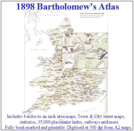
A complete series of topographical maps, physical and statistical charts, town plans, and index of 35,000 names (England and Wales - includes City street maps showing locations no longer in existence through development and bombing in World War II).... More Info
UK Maps Collection


A collection of over 100 maps covering England, Scotland, Ireland and Wales. These high resolution maps can show you how place-names and counties differed from the present day. Contains various printable maps showing towns, counties, and countries in the UK from as early as 1660. More Info
Product Code: GRD36
The Phillimore Atlas and Index of Parish Registers - Hardback Book Special Offer
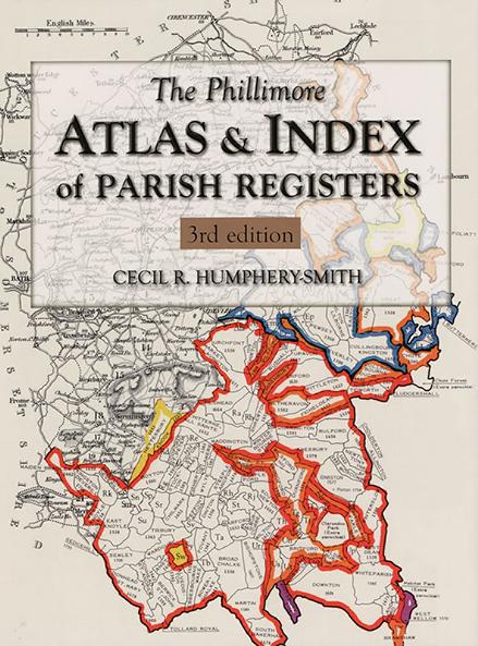
This guide to parish registers, now in its third edition, and covering England, Scotland and Wales, is a vital, time-saving tool that has become universally known as 'the genealogist's bible'. The Atlas includes the famous county 'parish' maps, which show pre-1832 parochial boundaries, colour-coded probate jurisdictions, starting dates of surviving registers, and churches and chapels, where relevant. Topographical maps face each 'parish' map, and show the contemporary road system and other More Info
Carnarvon & North Wales 1920/1 Ward & Lock's Illustrated Guide
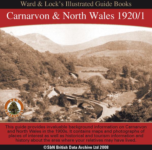
This CD contains a guide that provides invaluable background information on Carnarvon,Bangor, Anglesey, Penmaenmawr and Llanfairfechan, Conway, Bettws-y-Coed, Llandudno, Colwyn Bay, and Rhyl in the 1900s. It contains maps and photographs of places of interest as well as historical and tourism information and history about the area where your relatives may have lived. *Digitally enhanced images of the original text *Searchable text *Bookmarked by major headings *Fully printable... More Info
Bacon's Atlas of the British Isles 1881
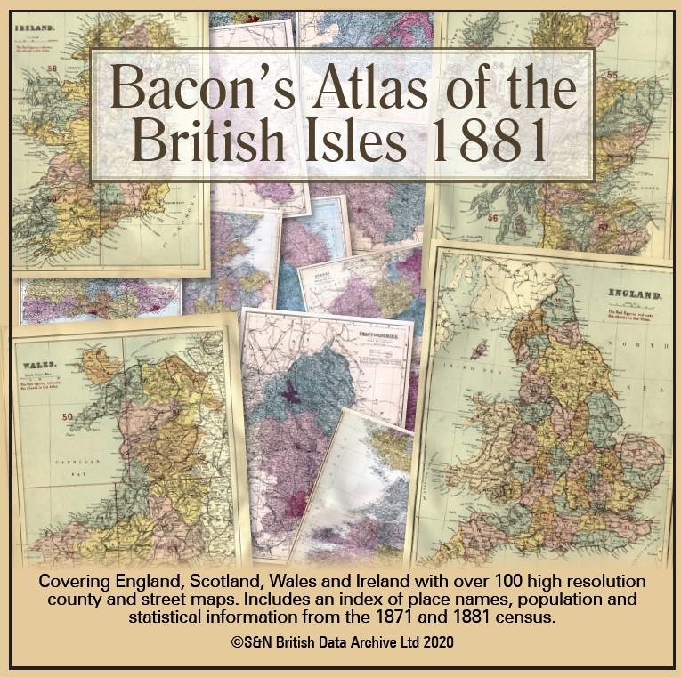
This virtual DVD resource covers England, Scotland, Wales and Ireland with over 100 high-resolution county and street maps. Includes an index of place names, population and statistical information from the 1871 and 1881 census.... More Info
Product Code: GRD6768
Can't find what you're looking for? Try using our filter system to narrow down your search.
Available through our sister site GenFair
Harthill and Aston Area
This publication includes transcripts for the following: - Aston - Harthill - Todwick - Wales The information contained herein was transcribed by the Rotherham Family History Society
Abercanaid Burial Ground
ABERCANAID IN THE PARISH OF MERTHYR TYDFIL, IS SITUATED 2 MILES SOUTH OF THE TOWN CENTRE OF MERTHYR TYDFIL. IT IS BETWEEN THE RIVER TAFF TO THE EAST AND THE GLAMORGANSHIRE CANAL (BUILT 1794) TO THE WEST. THE VILLAGE IS BORDERED BY 4 COLLIERIES, ONE OF WHICH WAS THE GRAIG PIT, OPENED BY LUCY THOMAS IN THE 1830'S. THE CALVINISTIC METHODIST CHAPEL GRAIG, WAS NAMED AFTER THE DISTRICT, THE GRAIG. IT WA...More Info
Merthyr Tydfil Obituaries - CD1
Both CD & Download contain details of obituaries between 1900 - 1909 taken from the Merthyr Express newspaper held by the Merthyr Tydfil Central Library. These obituaries were found throughout the newspaper in the form of death notices, an obituary column, accident reports, coroner's inquests and funeral reports. The Merthyr Tydfil Branch of the Glamorgan FHS began transcribing the obituaries and ...More Info
Pencoed Penuel Chapel, Memorial Inscriptions
The CD and Download contents which were transcribed up to 2014 are : - History of the Chapel, a Graveyard diagram, Surname index, M.I.s, Photos of the Chapel and a small selection of graves. The Cemetery sits to the North of Pencoed next to the St David's Church in Wales Church.
Merthyr Tydfil Obituaries - CD2
The CD (part 2) and Download contain details of obituaries between 1910 - 1919 taken from the Merthyr Express newspaper held by the Merthyr Tydfil Library. These obituaries were found throughout the newspaper in the form of death notices, an obituary column, accident reports, coroner's inquests and funeral reports. The Merthyr Tydfil Branch of the Glamorgan FHS began transcribing the obituaries an...More Info