Search Results for: “Ireland”
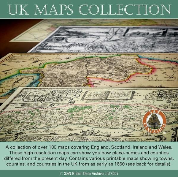
UK Maps Collection
A collection of over 100 maps covering England, Scotland, Ireland and Wales. These high resolution maps can show you how place-names and counties differed from the present day. Contains various printable maps showing towns, counties, and countries in the UK from as early as 1660. More Info
Product Code: GRD36
Cassell's Gazetteer of Great Britain and Ireland for the year 1893 Special Offer
This set contains listings for all counties, cities, towns, villages (with population) and has detailed information on history, geography, architecture, agriculture or industry. Cassell's Gazetteer is a topographical dictionary invaluable in finding locations where your relatives may have lived. It includes photographs and colour maps for reference. *Digitally enhanced images of the original text *Includes photographs and maps *Bookmarked alphabetically *Fully printable... More Info
The National Gazetteer of Great Britain and Ireland for 1868 Special Offer
This four volume set of The National Gazetteer shows information on geography, industry and agriculture. This is an invaluable resource for those looking for background information and facts on locations within Great Britain and Ireland. *Digitally enhanced images of the original text *Searchable *Includes colour maps *Bookmarked alphabetically *Fully printable... More Info
Product Code: SS5081
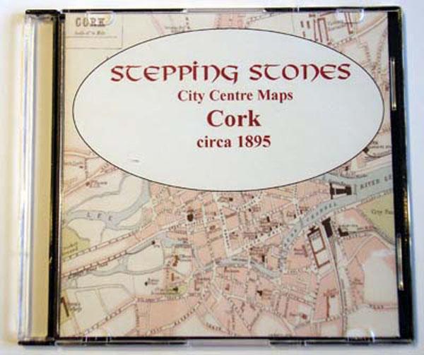
Ireland, Cork c.1895 Map CD Special Offer
Stepping Stones publication Cork c.1895 Map CD... More Info
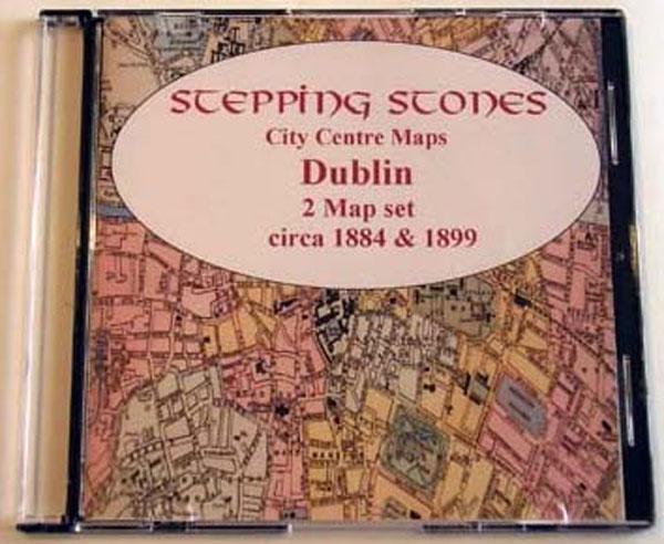
Ireland, Dublin Map CD (2 maps, c.1884-99) Special Offer
Stepping Stones publication Dublin Map CD (2 maps, c.1884-99)... More Info
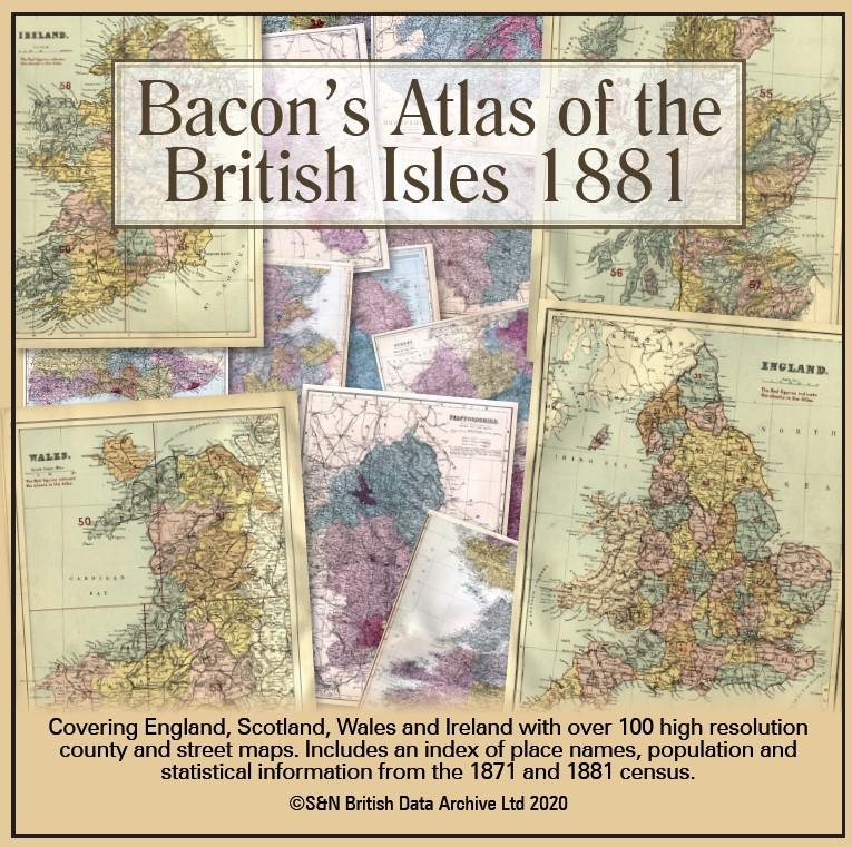
Bacon's Atlas of the British Isles 1881
This virtual DVD resource covers England, Scotland, Wales and Ireland with over 100 high-resolution county and street maps. Includes an index of place names, population and statistical information from the 1871 and 1881 census.... More Info
Product Code: GRD6768
Can't find what you're looking for? Try using our filter system to narrow down your search.
Available through our sister site GenFair
Ordnance Survey Memoirs of Ireland, Vol 35: County Antrim XIII, 1833, 1855, 1838

The Ordnance Survey Memoirs are a uniquely detailed source for the history of the northern half of Ireland immediately before the Great Famine. They were written in the 1830s to accompany the 6" Ordnance Survey maps, but with one exception were not published at the time. In this new edition they act as a nineteenth-century Domesday book and are essential to the understanding of the cultural herita...More Info
Ordnance Survey Memoirs of Ireland, Vol 37: County Antrim XIV, 1832, 1839-40

The Ordnance Survey Memoirs are a uniquely detailed source for the history of the northern half of Ireland immediately before the Great Famine. They were written in the 1830s to accompany the 6" Ordnance Survey maps, but with one exception were not published at the time. In this new edition they act as a nineteenth-century Domesday book and are essential to the understanding of the cultural herita...More Info
People's Champion: The Life Of Alexander Bowman, Pioneer of Labour Politics In Ireland

When Alexander Bowman was elected in Belfast Corporation as Labour member in Duncairn in 1897, the very idea that he would still be remembered a century later for his relentless championing of the working class cause appeared unthinkable. Yet Bowman, a near penniless flaxdresser from a humble farming background, richly deserves his place in Irish political and labour history. Twelve years earlier ...More Info
Ordnance Survey Memoirs of Ireland, Vol 39: County Donegal II, 1835-36

This volume of the Ordnance Survey Memoirs contains the Memoirs for 20 parishes in north west, south west, central and Lagan areas of Donegal, an extensive area comprising the towns of Ballybofey, Ballyshannon, Castlefinn, Convoy, Donegal, Falcarragh, Fintown, Gortahork, Killybegs, Letterkenny, Lifford, Manorcunningham, Mountcharles, Newtowncunningham, Raphoe, Stranolar and St Johnstown.
