Search Results for: “Wales”
1898 Royal Atlas of England and Wales (edited by J.G. Bartholomew)
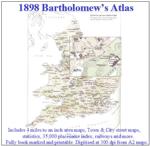
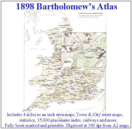
A complete series of topographical maps, physical and statistical charts, town plans, and index of 35,000 names (England and Wales - includes City street maps showing locations no longer in existence through development and bombing in World War II).... More Info
UK Maps Collection


A collection of over 100 maps covering England, Scotland, Ireland and Wales. These high resolution maps can show you how place-names and counties differed from the present day. Contains various printable maps showing towns, counties, and countries in the UK from as early as 1660. More Info
Product Code: GRD36
The Phillimore Atlas and Index of Parish Registers - Hardback Book Special Offer
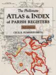
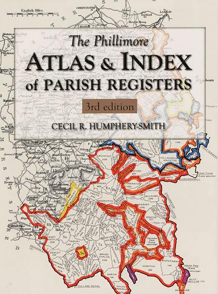
This guide to parish registers, now in its third edition, and covering England, Scotland and Wales, is a vital, time-saving tool that has become universally known as 'the genealogist's bible'. The Atlas includes the famous county 'parish' maps, which show pre-1832 parochial boundaries, colour-coded probate jurisdictions, starting dates of surviving registers, and churches and chapels, where relevant. Topographical maps face each 'parish' map, and show the contemporary road system and other More Info
Carnarvon & North Wales 1920/1 Ward & Lock's Illustrated Guide
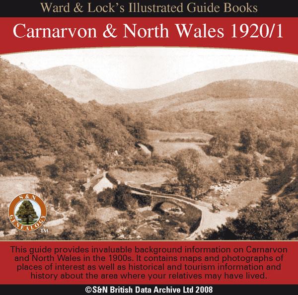
This CD contains a guide that provides invaluable background information on Carnarvon,Bangor, Anglesey, Penmaenmawr and Llanfairfechan, Conway, Bettws-y-Coed, Llandudno, Colwyn Bay, and Rhyl in the 1900s. It contains maps and photographs of places of interest as well as historical and tourism information and history about the area where your relatives may have lived. *Digitally enhanced images of the original text *Searchable text *Bookmarked by major headings *Fully printable... More Info
Bacon's Atlas of the British Isles 1881
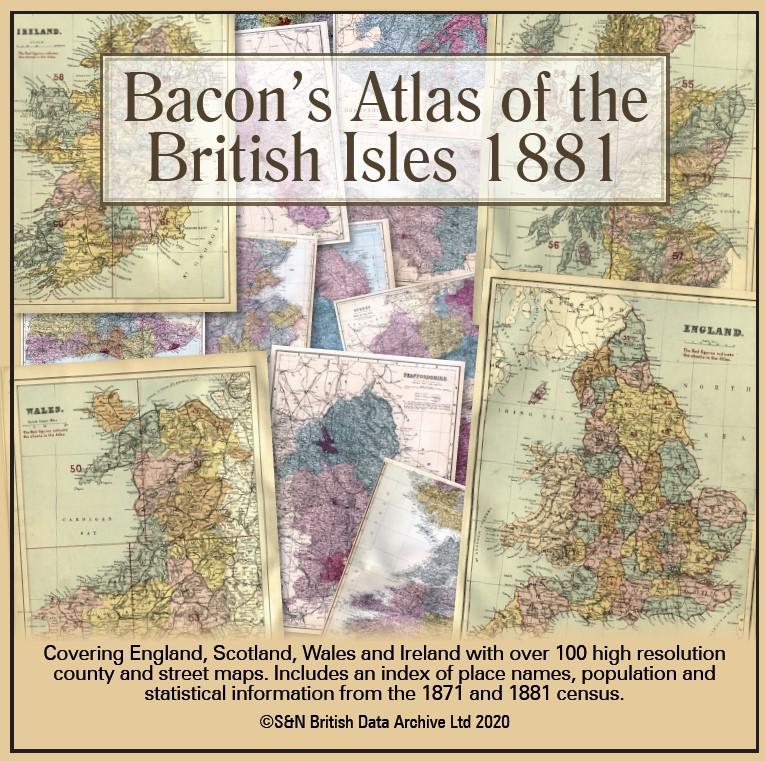
This virtual DVD resource covers England, Scotland, Wales and Ireland with over 100 high-resolution county and street maps. Includes an index of place names, population and statistical information from the 1871 and 1881 census.... More Info
Product Code: GRD6768
Can't find what you're looking for? Try using our filter system to narrow down your search.
Available through our sister site GenFair
British Genealogical Microfiche
This volume lists innumerable microfiche that are currently available from societies, libraries, record offices, etc., as well as commercial publishers. This volume reveals an extraordinarily wide range of microfiche available to the genealogist. It aims to list everything relating to England, Scotland and Wales that has been microfiched, but also includes offerings from publishers in Australasia ...More Info
Lovell: The Family Tree of Major and Susanna Lovell
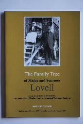
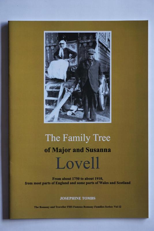
From about 1710 to about 1910, from most parts of England and some parts of Wales and Scotland. Compiled by Josephine Tombs. A4, 28 pages.
Lovell: The Family Tree of Daniel and Violetta Lovell

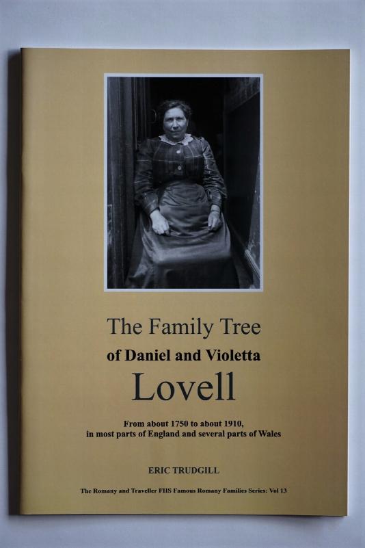
From about 1710 to about 1910, from most parts of England and several parts of Wales. Compiled by Eric Trudgill. A4, 28 pages.
Lock: The Family Tree of Matthew and Merrick Lock
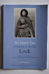
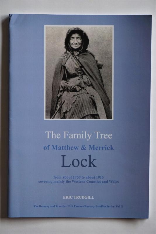
From about 1750 to about 1915 covering mainly the Western Counties and Wales. Compiled by Eric Trudgill. A4, 32 pages.
Attestation and Discharge Index 1760-1840
The material on this CD is in a set of Pdf files and a copy of Adobe Reader is included on the CD. CD contains scanned copy of typescript indexes to the attestation and discharge records of a numbers of regiments whose records are held at The National Archives (Kew). The regiments covered are: Bedfordshire & Hertfordshire Regiments 16th Foot, Cape Mounted Rifles, County of Dublin Regiment 83rd Foo...More Info