UK Maps Collection
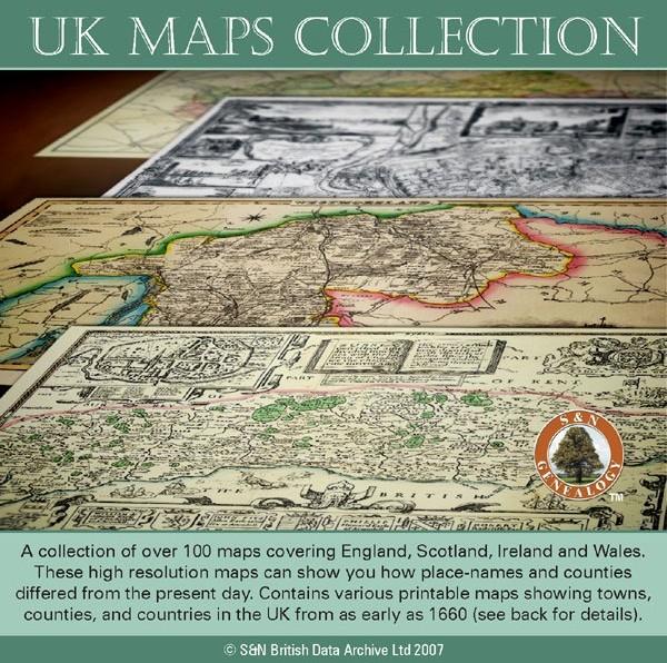
A collection of over 100 maps covering England, Scotland, Ireland and Wales. These high resolution maps can show you how place-names and counties differed from the present day. Contains various printable maps showing towns, counties, and countries in the UK from as early as 1660. More Info
Product Code: GRD36
The Genealogists' Atlas Of Lancashire Circa. 1930 Free UK P&P
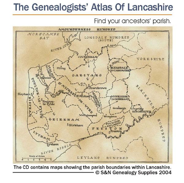
This CD is fully bookmarked and allows you to search through the parishes to help find your ancestors' parish. It contains maps of parishes and townships and lists of non-parochial registers.... More Info
The National Gazetteer of Great Britain and Ireland for 1868 Special Offer
This four volume set of The National Gazetteer shows information on geography, industry and agriculture. This is an invaluable resource for those looking for background information and facts on locations within Great Britain and Ireland. *Digitally enhanced images of the original text *Searchable *Includes colour maps *Bookmarked alphabetically *Fully printable... More Info
Yorkshire, Barnsley & Doncaster Area c.1920 Map CD (28 maps)
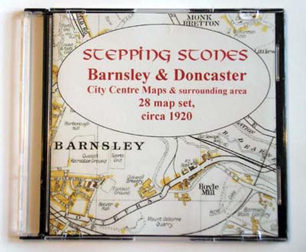
Stepping Stones publication Barnsley and Doncaster Area c.1920 Map CD (28 maps)... More Info
Product Code: SS5080
Yorkshire, Bradford Area c.1920 Map CD (21 maps) Special Offer
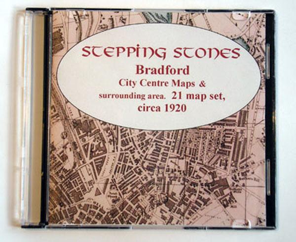
Stepping Stones publication Bradford Area c.1920 Map CD (21 maps)... More Info
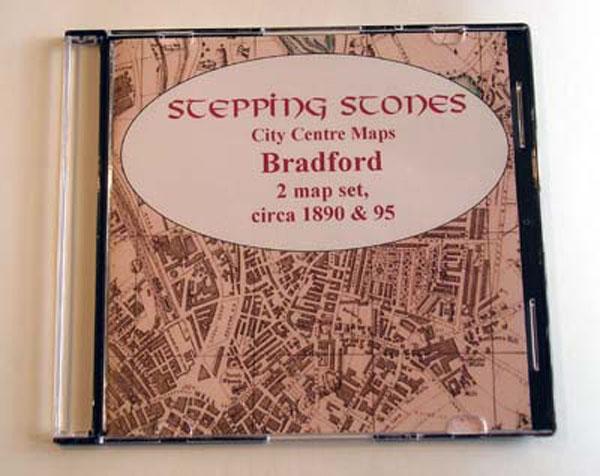
Yorkshire, Bradford c.1890-95 Map CD (2 maps) Special Offer
Stepping Stones publication Bradford Map CD (2 maps, c.1890-95)... More Info
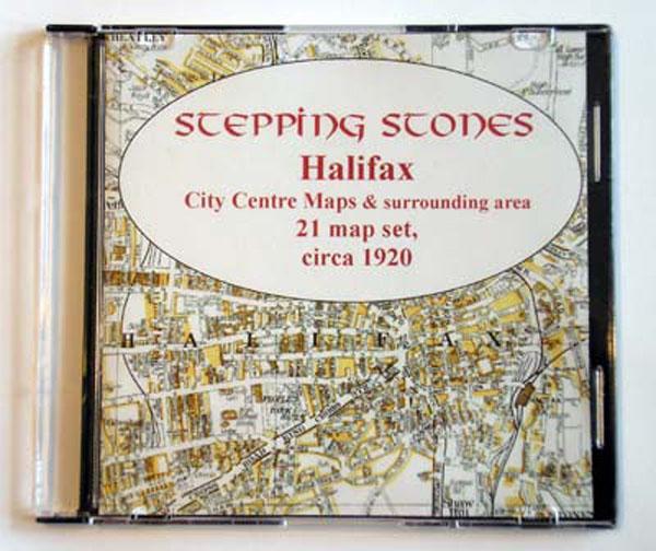
Yorkshire, Halifax Area c.1920 Map CD (21 maps) Special Offer
Stepping Stones publication Halifax Area c.1920 Map CD (21 maps)... More Info
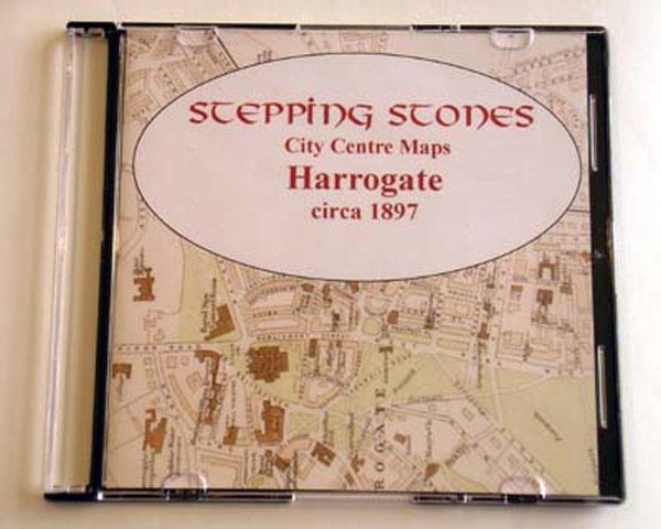
Yorkshire, Harrogate c.1897 Map CD Special Offer
Stepping Stones publication Harrogate c.1897 Map CD... More Info
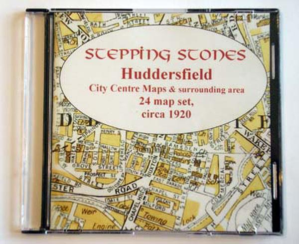
Yorkshire, Huddersfield Area c.1920 Map CD (24 maps) Special Offer
Stepping Stones publication Huddersfield Area c.1920 Map CD (24 maps)... More Info
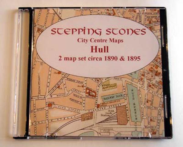
Yorkshire, Hull Map CD (2 maps, c.1890-95) Special Offer
Stepping Stones publication Hull Map CD (2 maps, c.1890-95)... More Info
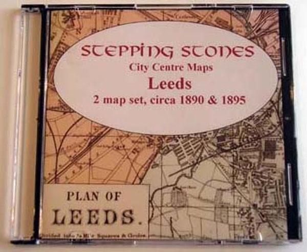
Yorkshire, Leeds Map CD (2 maps, c.1890-95) Special Offer
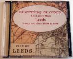
Stepping Stones publication Leeds Map CD (2 maps, c.1890-95)... More Info
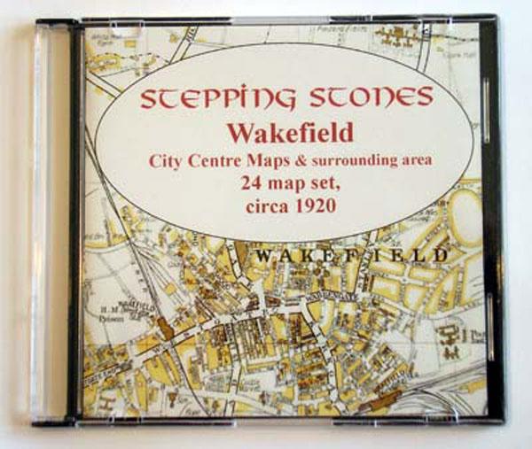
Yorkshire, Wakefield Area c.1920 Map CD (24 maps) Special Offer
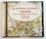
Stepping Stones publication Wakefield Area c.1920 Map CD (24 maps)... More Info
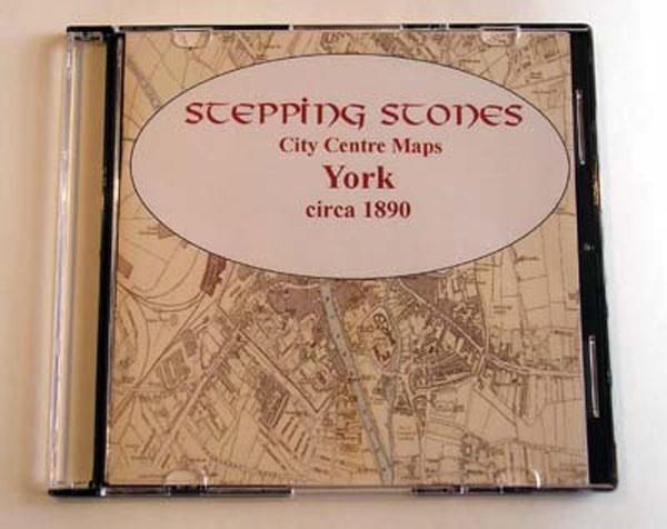
Yorkshire, York c.1890 Map CD Special Offer
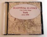
Stepping Stones publication York c.1890 Map CD... More Info
Can't find what you're looking for? Try using our filter system to narrow down your search.
