Search Results for: “London Register”
Essex Phillimore Parish Records (Marriages) - Volumes 01 to 04 on one CD Special Offer
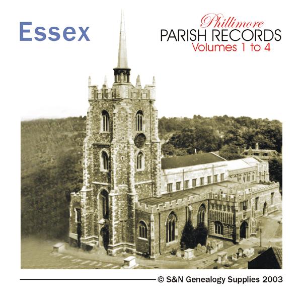
Marriage registers for all 4 volumes of Phillimore's parish record transcripts. *Ashdon 1557-1812 *Boxted 1559-1837 *Chelmsford 1539-1837 *Great Horksley 1538-1836 *Great Leighs 1560-1837 *Little Horksley 1568-1835 *Little Leighs 1680-1837 *Navestock 1538-1812 *Roxwell 1559-1837 *Walthamstow 1650-1837 *Widford 1619-1837 *Wormingford 1559-1837 *Writtle 1634-1837... More Info
Product Code: PRS3083
Essex, Stock Harvard Parish Registers 1563-1700
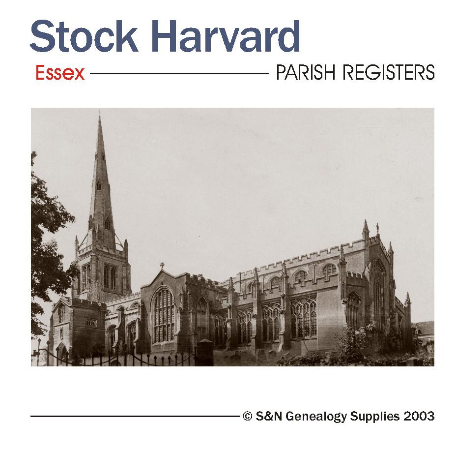
A chronological searchable list of Persons Baptised, Married or Buried at Stock Harvard between 1563 and 1700. *Digitally enhanced images of the original text *Searchable by whole or part name *Bookmarked by major headings *Fully printable... More Info
Product Code: PRS3092
Bristol, Stonehouse, Plymouth, and Thorpe-le-Soken, Huguenot Society of London Parish Registers 1684-1807 Special Offer
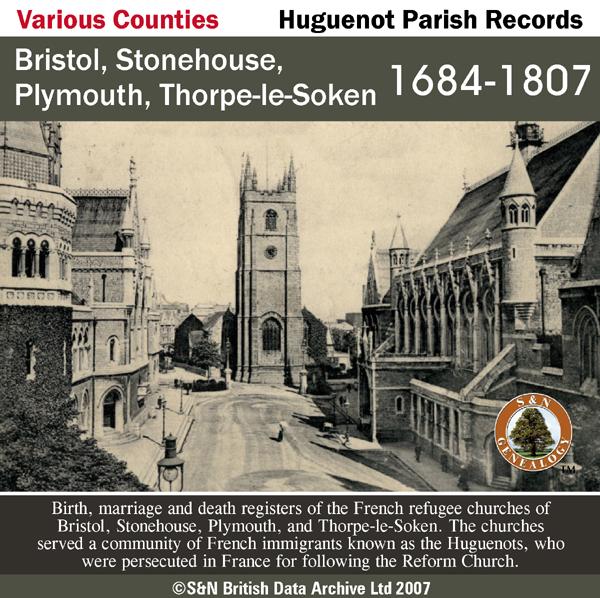
Birth, marriage and death registers of the French refugee churches of Bristol, Stonehouse, Plymouth, and Thorpe-le-Soken. The churches served a community of French immigrants known as the Huguenots, who were persecuted in France for following the Reform Church. (Entries are written in French). This product does not contain an index. Bristol - Bap 1687-1762, Mar 1688-1744, Ent 1688-180. Stonehouse - Bap 1692-1791, Mar 1693-1748, Ent 1692-1788, Abj 1694-1728. Plymouth - Bap 1733-1807, Mar 173... More Info
Can't find what you're looking for? Try using our filter system to narrow down your search.
Available through our sister site GenFair
CD 43 General Indexes to Old Ordnance Survey Maps of London
CD 43 General Indexes to Old Ordnance Survey Maps of London (Godfrey Edition). Research in Victorian London very soon gives rise to the question "where is such-and-such a street?". It may be on a modern map, but quite often is not. The re-publication of early Ordnance Survey 1:2500 maps in the reduced scale Godfrey Edition gives the researcher a chance but, even if the street is on the sheet one h...More Info
Atlas of London circa 1908
By J & A Catlyn, published by Cyrene Publications (2003). 20 coloured maps of Central London, with searchable Index to over 7000 streets computer-linked to the maps. An Index to 1000 places of interest in London and 16 maps of the Environs of London. Included is a small eight-page booklet advising on how to make the best use of this CD.
CD 16 EARLY 20th CENTURY LONDON: MAPS, STREET NAMES and SCHOOLS. Nov 2009.
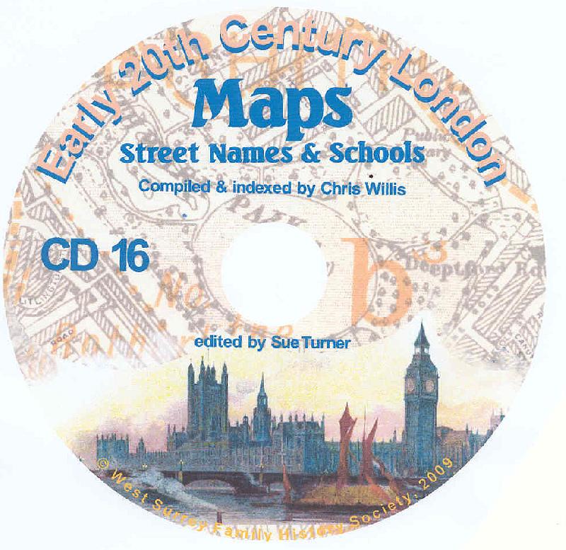
Compiled and indexed by Chris Willis, edited by Sue Turner, 2009. This CD contains the six Board School Maps of London, produced in 1906/7 by the London Schools Authorities. They were based on the 6" Ordnance Survey stock of the time and over printed with boundaries of the areas used in controlling the schools and also with the actual schools. To provide an index into the maps, a Street index (pub...More Info
The End of the Line - the story of the railway service to the Great Northern London Cemetery
King's Cross station was linked to the Great Northern Cemetery by a special train service which took funeral parties from central London to the outskirts where burial space was more readily available. This was a short lived service unlike that in south London. Many of London's institutions made use of the service and records of burials are available from the New Southgate Cemetery.
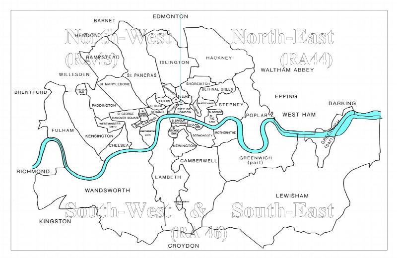
RA 06. Genealogical Research in Victorian London
by Cliff Webb (8th edition 2007.) Shows how to reduce the cost of searching for Victorian London ancestors, with a list of parishes and registers for the London area outside the City, created before 1870, and with A2 map of parish boundaries c.1870. The latest edition, as well as showing the latest register deposits, has an appendix making it easier to locate churches in smaller districts and also...More Info
Filter
Category
County
-
Essex (3)
Gloucestershire (1)
Hampshire (0)
Herefordshire (0)
Hertfordshire (0)
Huntingdonshire (0)
Ireland (0)
Kent (0)
Lancashire (0)
Lincolnshire (0)
London (1)
Middlesex (0)
Monmouthshire (0)
Norfolk (0)
Northumberland (0)
Nottinghamshire (0)
Oxfordshire (0)
Scotland (0)
Shropshire (0)
Somerset (1)
Staffordshire (0)
Suffolk (0)
Surrey (0)
Sussex (0)
Wales (0)
Warwickshire (0)
Westmorland (0)
Wiltshire (0)
Worcestershire (0)
Yorkshire (0)