Search Results for: “Yorkshire Census”
Buckinghamshire, The Parsons and Parish Registers of Medmenham
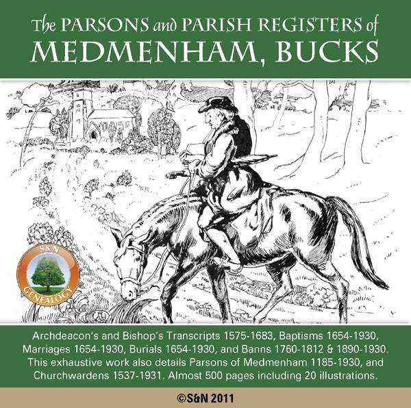
The Rev. Arthur H. Plaisted's exhaustive 1932 work not only includes 9 Volumes of Parish Registers, but has additional chapters detailing the Parsons of Medmenham from 1185 to 1930, and Officers of the Church including selected Parish Clerks, and a list of Churchwardens from 1537 to 1931. The Registers themselves are prefaced by 30 pages of supporting information covering relevant acts of parliament, the first census, the establishment of civil registration, funeral customs and more. Register More Info
Catholic Records: Recusant Rolls 1592-93

This CD contains a census of those who did not attend services at the parish church, together with an account of fines and confiscations for refusal. Entries are arranged by county, and cover England and Wales. Please note: this volume contains Latin throughout. * Digitally enhanced images of the original text * Searchable text * Bookmarked by major headings * Fully printable * Contains almost 500 pages... More Info
Product Code: PRS6087
Can't find what you're looking for? Try using our filter system to narrow down your search.
Available through our sister site GenFair
East Riding Medical Men
This publication includes information pertaining to those found practicing medicine (surgeons, apothecaries, chemists, druggists and barber-surgeons) in the East Riding of Yorkshire, outside Kingston upon Hull and excluding the City of York. This publication was largely completed before the resources of the Internet were widely available and, as such, should provide researchers with a useful stepp...More Info
Lost in the Ridings
A comprehensive gazetteer of the towns, villages and hamlets of Yorkshire with details of the Family History Society(s) they are served by. Each place is also identified by its Riding.
Bridlington (North) 1909
Dated 1909. Sheet 146.02. 25in to the mile Two maps for Bridlington have been published. These link up with each other to provide excellent coverage of the town. This map covers the Old Town and the North Shore area, and is double-sided for maximum coverage. Features include Priory Church, MarketPlace, Bridlington Workhouse, Stepney Hall, Old Town shown in detail with individual buildings neatly s...More Info
Bridlington (South) 1909
Dated 1909. Sheet 146.06. 25in to the mile Two maps for Bridlington have been published. These link up with each other to provide excellent coverage of the town. This map includes the Harbour, North Pier, South Pier, Grand Pavilion, Floral Pavilion, Bessingby Low Field, Hilderthorpe Village, Hilderthorpe Hall, Emmanuel Church, railway approach with engine shed, New Spa Gardens, Baths, Coastguard S...More Info
Hull and North Lincolnshire 1895
Dated 1895. Sheet 80. 1in to mile This One Inch to the Mile map covers Hull and the area westward to South Cave and Broomfleet, and southward across the Humber to Ulceby and Saxby All Saints. On the back, there is a detailed map of New Holland in Lincolnshire, showing the station and pier head, for the ferries across to Hull. Much the largest town on the map, of course, is Hull, but South Cave, Ba...More Info