Search Results for: “London”
London 1891 Census (DVD) Special Offer
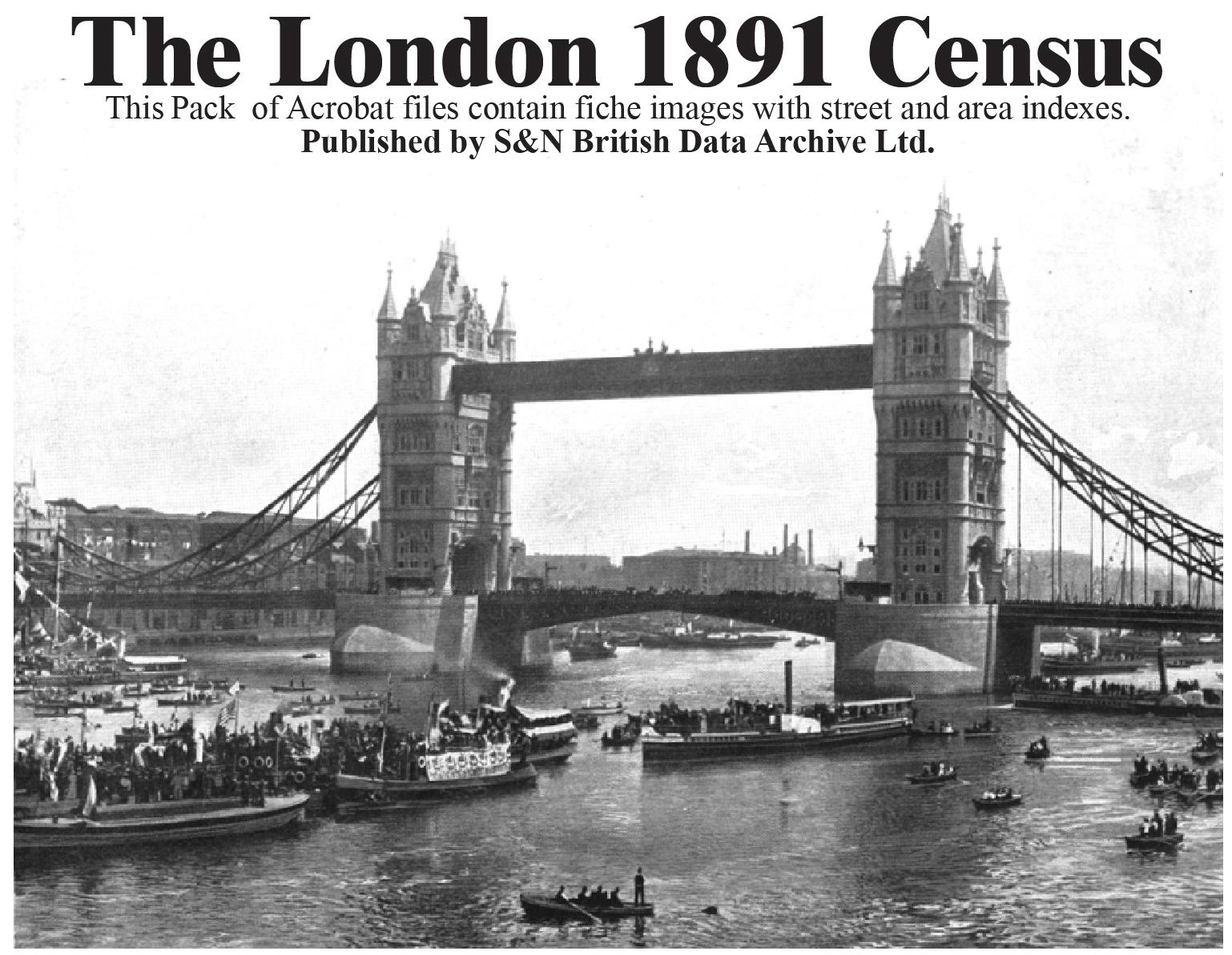
London 1891 census on DVD. PDF documents which contain the fiche images with street and area indexes. Coverage includes: Paddington - Kensington - Fulham - Chelsea - Hanover Square - Westminster - Marylbone - Hampstead - Pancras - Islington - Hackney - St Giles - Strand - Holborn - London City - Shoreditch - Bethnal Green - Whitechapel - St George in East - Stepney - Mile End Old Town - Poplar - Southwark Saviour - Southwark Olave - Lambeth - Wandsworth - Camberwell - Greenwich - Lewisham - Wool More Info
London 1901 Census Special Offer

Acrobat files containing high quality microfilm images with street and area indexes... More Info
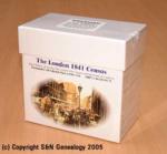
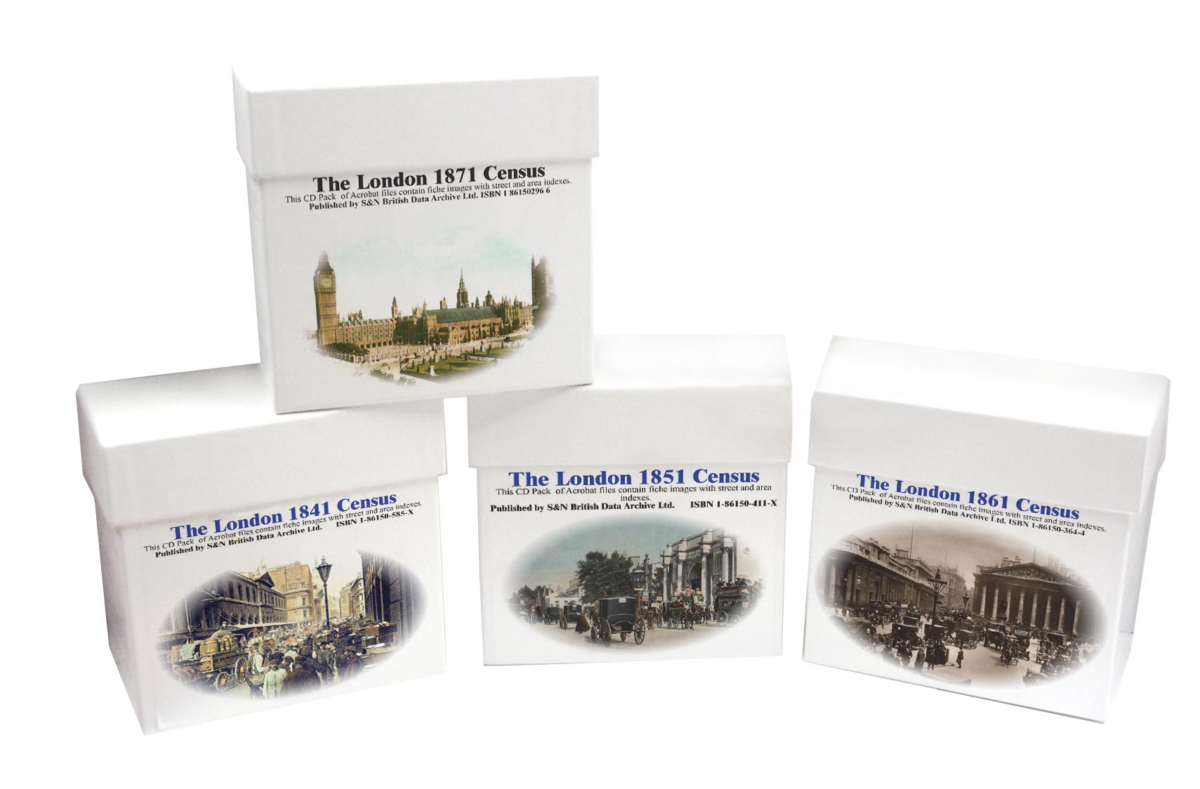
London 1871 Census Special Offer
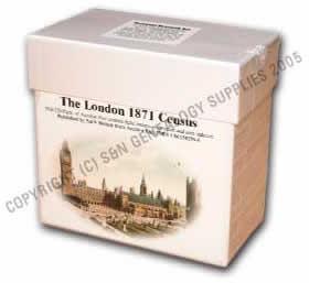
This is the original Census information digitised from high quality microfilm and scanned several times to provide the best possible images. Supplied as Acrobat documents with Street and Area Indexes. Coverage includes: Bethnal Green - Camberwell - Chelsea - Greenwich - Hackney - Hampstead - Holborn - Islington - Kensington - Lambeth - Lewisham - London City - Marylbone - Mile End Town - Pancras - Poplar - Stepney - St George Hanover Square - St George in the East - St Giles - St Saviour Southw More Info
London 1861 Census Special Offer
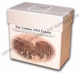
This is the original Census information digitised from high quality microfilm and scanned several times to provide the best possible images. Supplied as Acrobat documents with Street and Area Indexes. Coverage includes: Kensington - Chelsea - St George Hanover Square - Westminster - St Martin in the Fields - St James Westminster - Marylbone - Hampstead - Pancras - Islington - Hackney - St Giles - Strand - Holborn - Clerkenwell - St Luke - East London - West London - London City - Shoreditch - B More Info
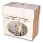
London 1851 Census Special Offer
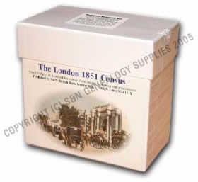
This is the original Census information digitised from high quality microfilm and scanned several times to provide the best possible images. Supplied as Acrobat documents with Street and Area Indexes. Coverage includes is the metropolitan area of London.... More Info
London 1841 Census Special Offer

This is the original Census information digitised from silver high quality microfilm and scanned in greyscale to provide the best possible images. Supplied as Acrobat documents with Street and Area Indexes. Covers the same metropolitan area of London as our 1891 set.... More Info
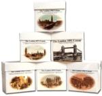
London Census Bundle - 1841, 1851, 1861, 1871 and 1891 Special Offer
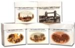
The London census bundle contains the sets for the years 1841,1851,1861,1871,and 1891. Each set consists of a CD or DVD (1891 only) pack of Acrobat documents which contain census page images indexed by street and area.... More Info
London Census Bundle - 1841, 1851, 1861 and 1871 Special Offer

The London Census bundle contains the sets for the years 1841,1851,1861 and 1871. Each set consists of a cd pack of acrobat documents which contain census page images indexed by street and area.... More Info
London 1881 Census (CD)
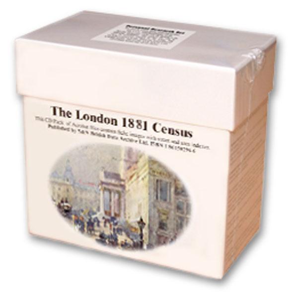
This is the original Census information digitised from microfiche and supplied as Acrobat documents with Street and Area Indexes. ... More Info
Product Code: CEN3247
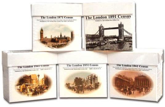
London Census Bundle - 1841, 1851, 1861, 1871, 1891 and 1901 Special Offer
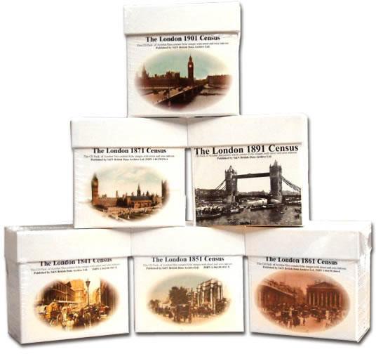
The London census bundle contains the sets for the years 1841, 1851, 1861, 1871, 1891 and 1901. Each set consists of a CD or DVD (1891 only) pack of Acrobat documents which contain census page images indexed by street and area.... More Info
Can't find what you're looking for? Try using our filter system to narrow down your search.
Available through our sister site GenFair
Lists of Papists for the London area
**Contents**- City of London Ma 1709 1710 LMA CLA 047 LR 02 04 050 - City of London Mar 1712 to 13 LMA CLA 047 LR 02 04 054 - City of London Mar 1714 to 1715 LMA CLA 047 LR 02 04 055 - City of London 1743 LMA MISC MSS 63 17 - City of London 1745 LMA MISC MSS 63 18 - City of London Jul 1715 LMA CLA 047 LR 02 04 056 - City of London Ma Ap 1711 LMA CLA 047 LR 02 04 051 - Clerkenwell 14 Apr 1711 LM...More Info
CD 43 General Indexes to Old Ordnance Survey Maps of London
CD 43 General Indexes to Old Ordnance Survey Maps of London (Godfrey Edition). Research in Victorian London very soon gives rise to the question "where is such-and-such a street?". It may be on a modern map, but quite often is not. The re-publication of early Ordnance Survey 1:2500 maps in the reduced scale Godfrey Edition gives the researcher a chance but, even if the street is on the sheet one h...More Info
Atlas of London circa 1908
By J & A Catlyn, published by Cyrene Publications (2003). 20 coloured maps of Central London, with searchable Index to over 7000 streets computer-linked to the maps. An Index to 1000 places of interest in London and 16 maps of the Environs of London. Included is a small eight-page booklet advising on how to make the best use of this CD.
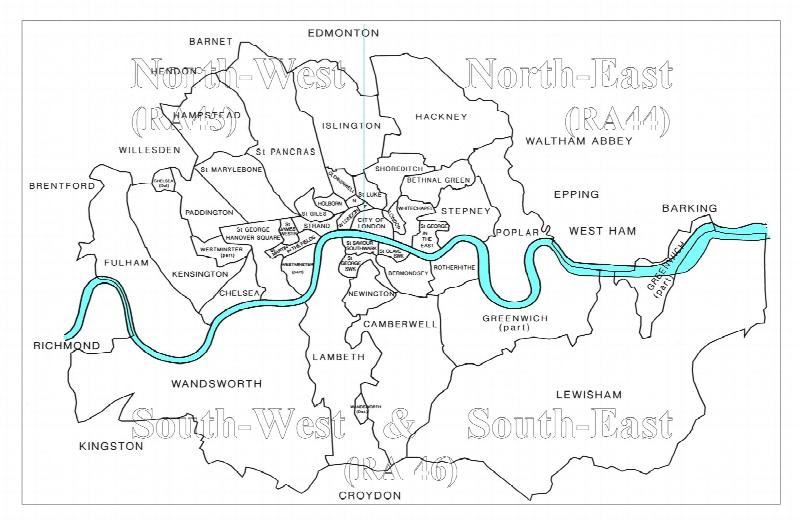
CD 16 EARLY 20th CENTURY LONDON: MAPS, STREET NAMES and SCHOOLS. Nov 2009.
Compiled and indexed by Chris Willis, edited by Sue Turner, 2009. This CD contains the six Board School Maps of London, produced in 1906/7 by the London Schools Authorities. They were based on the 6" Ordnance Survey stock of the time and over printed with boundaries of the areas used in controlling the schools and also with the actual schools. To provide an index into the maps, a Street index (pub...More Info
The End of the Line - the story of the railway service to the Great Northern London Cemetery
King's Cross station was linked to the Great Northern Cemetery by a special train service which took funeral parties from central London to the outskirts where burial space was more readily available. This was a short lived service unlike that in south London. Many of London's institutions made use of the service and records of burials are available from the New Southgate Cemetery.