Search Results for: “London”
Surrey 1891 Census Special Offer
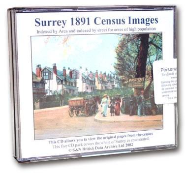
This is the original Census information digitised from microfiche and supplied as Acrobat documents with Street and Area Indexes. This is supplied in the same format as our very popular London Census. ... More Info
Middlesex 1901 Census Special Offer
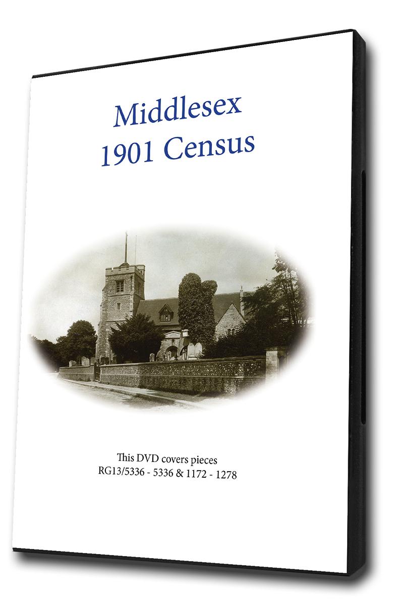
This is the original Census information digitised from microfilm and supplied as Acrobat documents with Street and Area Indexes. This is supplied in the same format as our very popular London Census. ... More Info
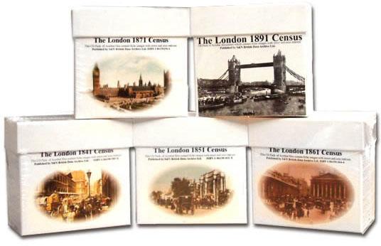
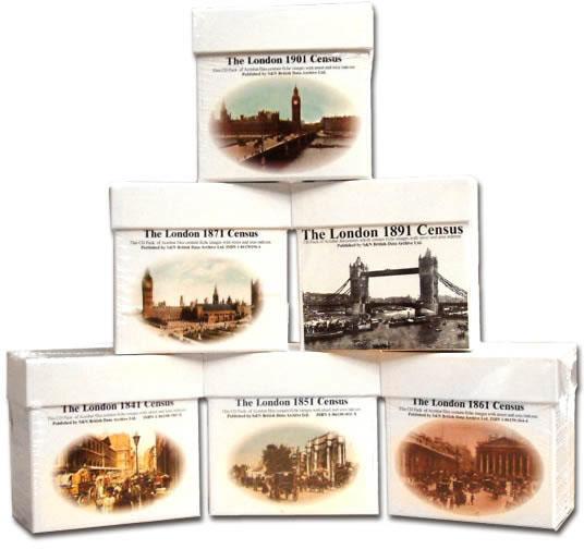
London 1891 Census (DVD) Special Offer
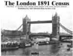
London 1891 census on DVD. PDF documents which contain the fiche images with street and area indexes. Coverage includes: Paddington - Kensington - Fulham - Chelsea - Hanover Square - Westminster - Marylbone - Hampstead - Pancras - Islington - Hackney - St Giles - Strand - Holborn - London City - Shoreditch - Bethnal Green - Whitechapel - St George in East - Stepney - Mile End Old Town - Poplar - Southwark Saviour - Southwark Olave - Lambeth - Wandsworth - Camberwell - Greenwich - Lewisham - Wool More Info
London 1901 Census Special Offer

Acrobat files containing high quality microfilm images with street and area indexes... More Info
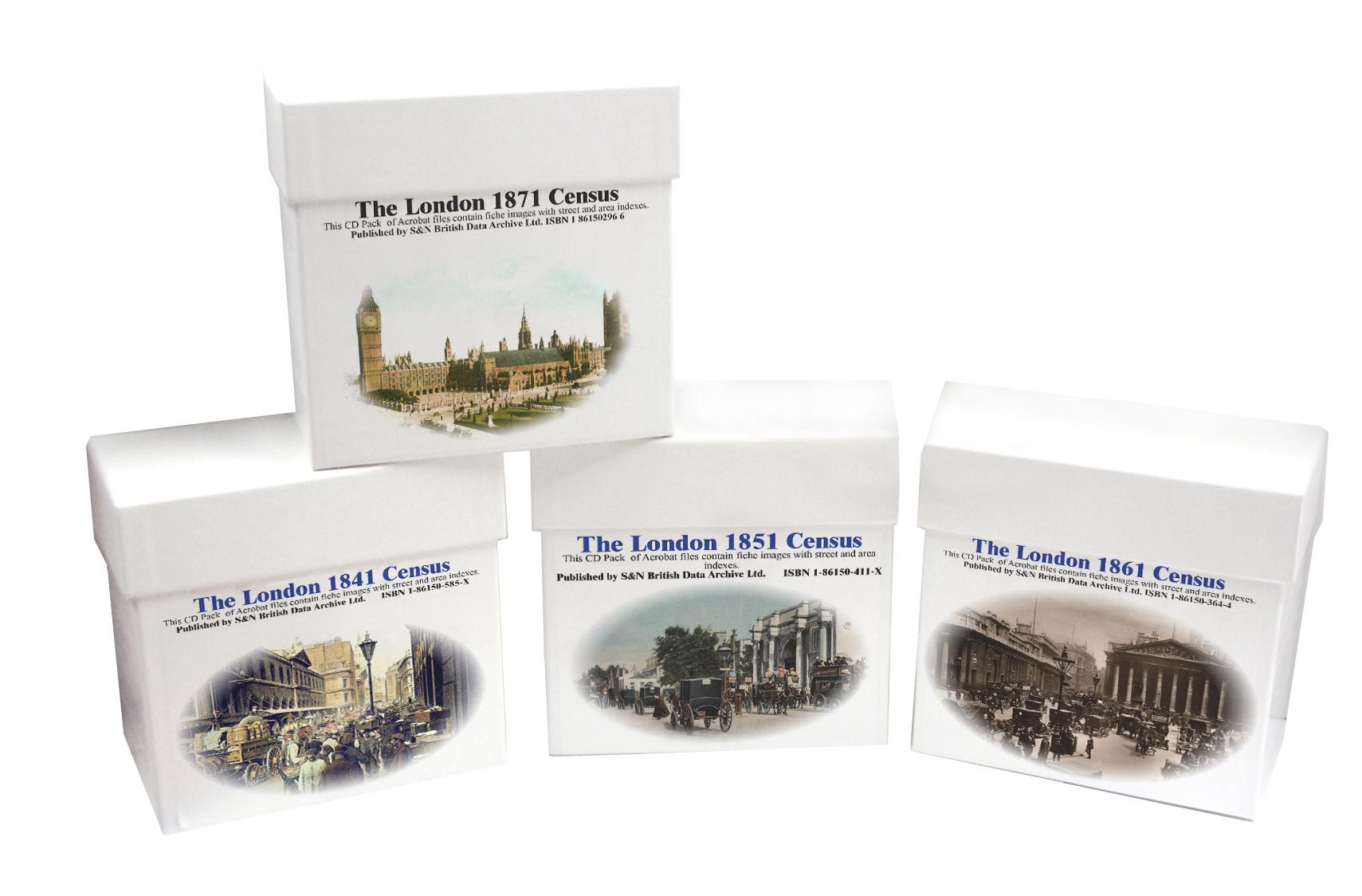
London 1871 Census Special Offer
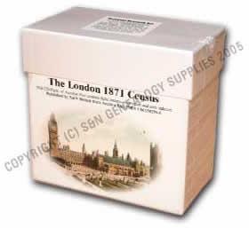
This is the original Census information digitised from high quality microfilm and scanned several times to provide the best possible images. Supplied as Acrobat documents with Street and Area Indexes. Coverage includes: Bethnal Green - Camberwell - Chelsea - Greenwich - Hackney - Hampstead - Holborn - Islington - Kensington - Lambeth - Lewisham - London City - Marylbone - Mile End Town - Pancras - Poplar - Stepney - St George Hanover Square - St George in the East - St Giles - St Saviour Southw More Info
London 1861 Census Special Offer
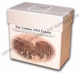
This is the original Census information digitised from high quality microfilm and scanned several times to provide the best possible images. Supplied as Acrobat documents with Street and Area Indexes. Coverage includes: Kensington - Chelsea - St George Hanover Square - Westminster - St Martin in the Fields - St James Westminster - Marylbone - Hampstead - Pancras - Islington - Hackney - St Giles - Strand - Holborn - Clerkenwell - St Luke - East London - West London - London City - Shoreditch - B More Info
London 1851 Census Special Offer
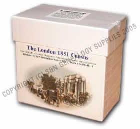
This is the original Census information digitised from high quality microfilm and scanned several times to provide the best possible images. Supplied as Acrobat documents with Street and Area Indexes. Coverage includes is the metropolitan area of London.... More Info
London 1841 Census Special Offer
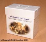

This is the original Census information digitised from silver high quality microfilm and scanned in greyscale to provide the best possible images. Supplied as Acrobat documents with Street and Area Indexes. Covers the same metropolitan area of London as our 1891 set.... More Info
London Census Bundle - 1841, 1851, 1861, 1871 and 1891 Special Offer
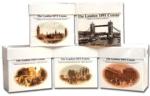
The London census bundle contains the sets for the years 1841,1851,1861,1871,and 1891. Each set consists of a CD or DVD (1891 only) pack of Acrobat documents which contain census page images indexed by street and area.... More Info
London Census Bundle - 1841, 1851, 1861 and 1871 Special Offer

The London Census bundle contains the sets for the years 1841,1851,1861 and 1871. Each set consists of a cd pack of acrobat documents which contain census page images indexed by street and area.... More Info
London 1881 Census (CD)
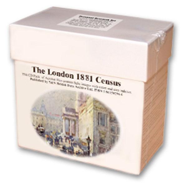
This is the original Census information digitised from microfiche and supplied as Acrobat documents with Street and Area Indexes. ... More Info
Product Code: CEN3247
London Census Bundle - 1841, 1851, 1861, 1871, 1891 and 1901 Special Offer
The London census bundle contains the sets for the years 1841, 1851, 1861, 1871, 1891 and 1901. Each set consists of a CD or DVD (1891 only) pack of Acrobat documents which contain census page images indexed by street and area.... More Info
Can't find what you're looking for? Try using our filter system to narrow down your search.
Available through our sister site GenFair
RA 39. Books and Articles About London & Middlesex Places, including Metropolitan Surrey (Revised and expanded).
3rd edition 2006, compiled by Cliff Webb.who writes in the introduction: It is already extremely difficult for a researcher to know what has been written about his subject and area.Nobody can know from the title that "The Best of All Possible Worlds" describes a childhood in Streatham. Where I have been able to identify them, I have given in square brackets a brief description of some of the books...More Info
RA 15. Guide to Genealogical Research in Late Victorian and Edwardian London
Revised 5th edition, November 2004) d This is a supplement to RA6, listing parishes founded in the 1870-1903 period. It also covers a wider area than RA6, extending to the whole of the old LCC district, and listing those outer parishes in the same way as RA6 does for the inner ones. It also has a map of parish boundaries for 1903.This new edition also includes a new appendix designed to help one l...More Info
RA36 A Guide To London And Middlesex Genealogy And Records
((6th edition, March 2007), by Cliff Webb. This new edition has been expanded to include references to websites and URLs as well as the sources included in the previous editions of the Guide. With 12 more pages than the last edition published in 2005, we are pleased to be able to offer it at the same price as the 5th edition. 68 pages. A5.
RA 2. Pre-1837 Parish Boundaries in Suburban London
This A3-size map (folded to A5) compliments the county parish maps produced by the Institute of Heraldic and Genealogical Studies, Canterbury. The main use is in planning a search pattern if an ancestor does not turn up in the expected parish. 3rd edition (1996). Map.