Search Results for: “Yorkshire Census”
Shipping at Sea and in Ports Abroad 1861
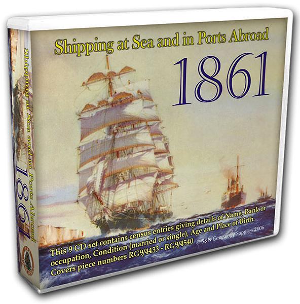
This census set lists persons aboard vessels of the Merchant and Royal Navies in 1861, both at sea and in domestic and foreign ports. Details given include vessel name, the name and rank/occupation of persons aboard, as well as their marital status, age and place of birth. Covers piece numbers RG9/4433-4540. * Original census information digitised from microfiche and supplied as Adobe documents * Fully printable... More Info
Product Code: GRD4092
Domesday Records for Yorkshire, Derbyshire, Nottinghamshire, Rutlandshire, & Lincolnshire 1086
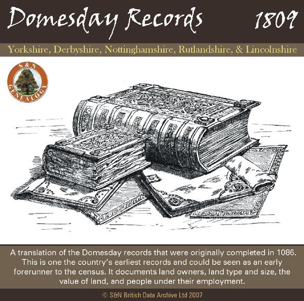
A translation of the Domesday records that were originally completed in 1086. This is one the country's earliest records and could be seen as an early forerunner to the census. It documents land owners, land type and size, the value of land, and people under their employment. *Digitally enhanced images of the original text *Searchable text *Bookmarked by major headings *Fully printable *Contains over 730 pages... More Info
Can't find what you're looking for? Try using our filter system to narrow down your search.
Available through our sister site GenFair
East Riding Medical Men
This publication includes information pertaining to those found practicing medicine (surgeons, apothecaries, chemists, druggists and barber-surgeons) in the East Riding of Yorkshire, outside Kingston upon Hull and excluding the City of York. This publication was largely completed before the resources of the Internet were widely available and, as such, should provide researchers with a useful stepp...More Info
Lost in the Ridings
A comprehensive gazetteer of the towns, villages and hamlets of Yorkshire with details of the Family History Society(s) they are served by. Each place is also identified by its Riding.
Bridlington (North) 1909
Dated 1909. Sheet 146.02. 25in to the mile Two maps for Bridlington have been published. These link up with each other to provide excellent coverage of the town. This map covers the Old Town and the North Shore area, and is double-sided for maximum coverage. Features include Priory Church, MarketPlace, Bridlington Workhouse, Stepney Hall, Old Town shown in detail with individual buildings neatly s...More Info
Bridlington (South) 1909
Dated 1909. Sheet 146.06. 25in to the mile Two maps for Bridlington have been published. These link up with each other to provide excellent coverage of the town. This map includes the Harbour, North Pier, South Pier, Grand Pavilion, Floral Pavilion, Bessingby Low Field, Hilderthorpe Village, Hilderthorpe Hall, Emmanuel Church, railway approach with engine shed, New Spa Gardens, Baths, Coastguard S...More Info
Hull and North Lincolnshire 1895
Dated 1895. Sheet 80. 1in to mile This One Inch to the Mile map covers Hull and the area westward to South Cave and Broomfleet, and southward across the Humber to Ulceby and Saxby All Saints. On the back, there is a detailed map of New Holland in Lincolnshire, showing the station and pier head, for the ferries across to Hull. Much the largest town on the map, of course, is Hull, but South Cave, Ba...More Info