Search Results for: “Yorkshire Census”
Surname Atlas Version 1.20
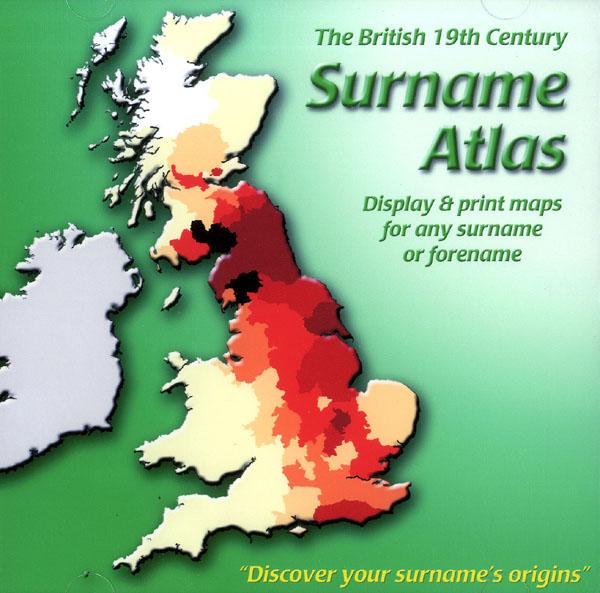
The 19th Century Surname Atlas for Great Britain displays and prints maps showing the concentrations for any surname or forename. The CD includes maps for all of the 400,000+ surnames that appear in the 1881 census and all of the forenames too. Print the maps at any scale and copy to the clipboard for pasting into printed documents or creating web graphics. Not suitable for Macintosh computers. Minimum requirements *Windows 10/8/7/Vista/XP/98 *CD-Rom/DVD-Rom drive (required for inst More Info
Product Code: SW1713
Can't find what you're looking for? Try using our filter system to narrow down your search.
Available through our sister site GenFair
Richmond, St Mary, North Riding of Yorkshire Burials 1745-1770
Richmond, St Mary, North Riding of Yorkshire Burials 1745-1770. Available as a PDF download
Rural Economy of Yorkshire 1788
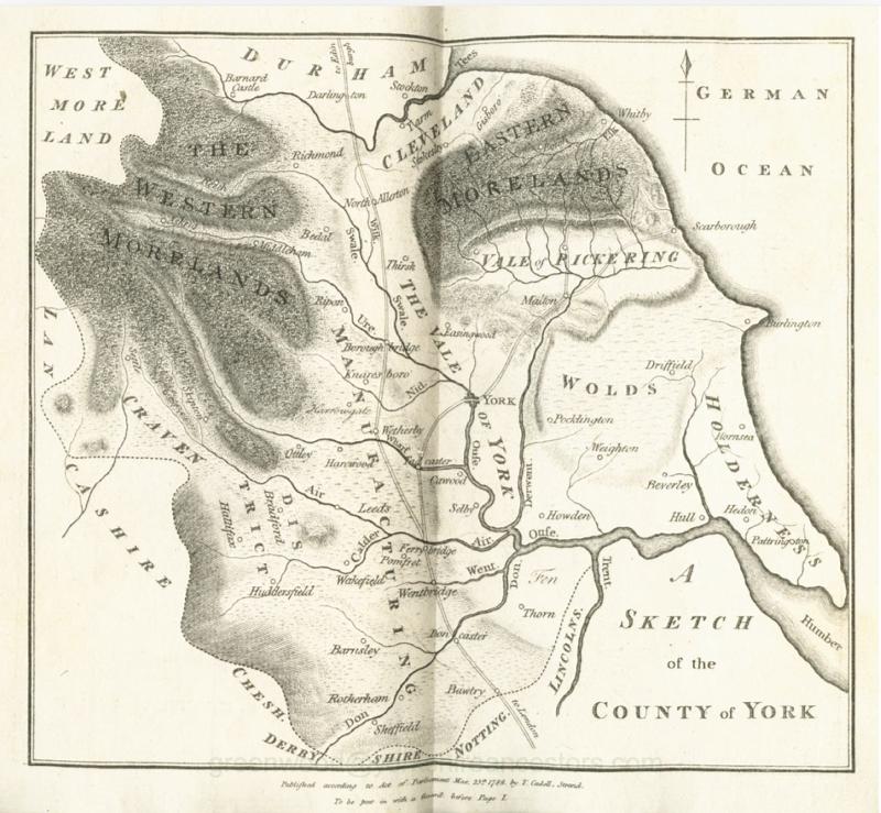
A complete journal of tenancy laws, domestic animal breeding, weaning, rearing, etc., dairy produce, domestic arrangements, husbandry, servants, markets, soil types, tillage, silage, drainage, crops grown, building types, building practices, timber types and uses and, finally, a little help with dialect speech in a chapter entitled 'Provincialisms'. Everything you need to know about life in ru...More Info
Civilian War Dead of Yorkshire - World Wars One and Two
This publication includes all known civilian war deaths in Yorkshire during the two World Wars. Estimated to contain well over 5,000 names of casualties and, in most cases, their immediate family.
Membership of East Yorkshire FHS with Electronic copy of Quarterly Magazine - New
This is for a new annual Membership of East Yorkshire Family History Society with four issues of our magazine 'The Banyan Tree'. Year runs 1st January to 31st December. Price includes 70p administration charge.
East Yorkshire Family History Society Parish Map
A map showing all the Church of England parishes in the East Yorkshire Family History Society area. It includes where the Parish Registers are now held, the boundaries of the 14 Civil Registration Districts and the earliest register dates of churches in Scarborough, Bridlington, Beverley, Malton-Norton and present day Kingston upon Hull. Revised June 2006. This item is A3 in size and delivered ...More Info