Search Results for: “Yorkshire Census”
Surname Atlas Version 1.20
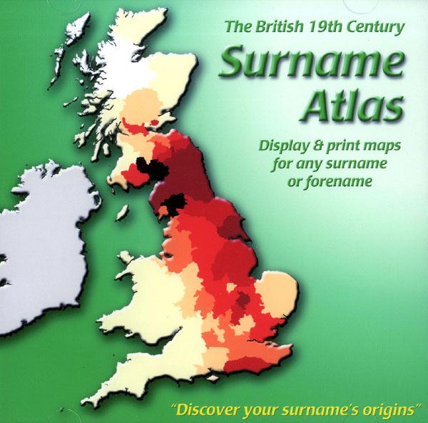
The 19th Century Surname Atlas for Great Britain displays and prints maps showing the concentrations for any surname or forename. The CD includes maps for all of the 400,000+ surnames that appear in the 1881 census and all of the forenames too. Print the maps at any scale and copy to the clipboard for pasting into printed documents or creating web graphics. Not suitable for Macintosh computers. Minimum requirements *Windows 10/8/7/Vista/XP/98 *CD-Rom/DVD-Rom drive (required for inst More Info
Product Code: SW1713
Can't find what you're looking for? Try using our filter system to narrow down your search.
Available through our sister site GenFair
Startforth, Holy Trinity, Durham, (formerly North Riding of Yorkshire) Burials 1751-1812
Startforth, Holy Trinity, Durham, (formerly North Riding of Yorkshire) Burials 1751-1812. Available as a PDF download
Yorkshire Parishes Map
A map of Yorkshire Ancient Parishes and Chapelries. Based on George Lawton's collections relative to York and Ripon (1842) & Henry easdale's map of Yorkshiree (1817-1828).
Wrotham: Compton Census, 1676
The Compton Census was a census of the population of England and Wales in 1676 to determine their religious affiliation. This CD includes an alphabetical list of households and their affiliation for some 450 people in Wrotham. CD147
Corfe Castle Census Indexes
Census indexes for 1841, 1861 and 1871 for Corfe Castle and Church Knowle - an almost complete transcription. Sorted by surname, folio, page and age to give approximate family groups. Also index for 1790 census of Corfe Castle.
Durisdeer Parish 1841 Census
This is a 32 page book of the 1841 Census for Durisdeer, Dumfriesshire. It is listed by Surname and Forename showing Age, Occupation, Entry Number and Location. Also included is a list of Farms and Farmers plus an alphabetical list of other places in the Parish. Durisdeer Parish 1841 Census